MyTopo
Classic USGS Franklin Kentucky 7.5'x7.5' Topo Map
Couldn't load pickup availability
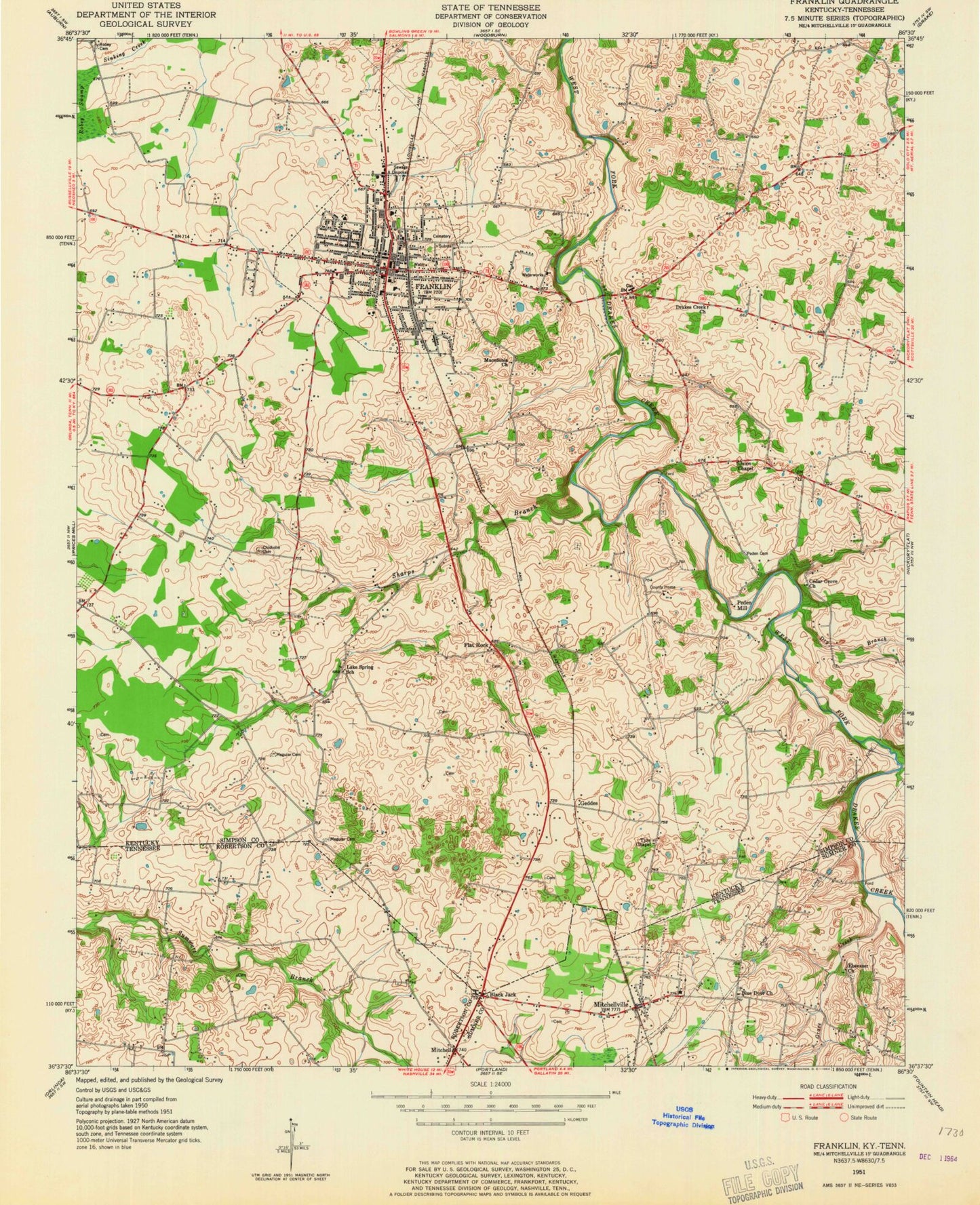
Historical USGS topographic quad map of Franklin in the states of Kentucky, Tennessee. Map scale may vary for some years, but is generally around 1:24,000. Print size is approximately 24" x 27"
This quadrangle is in the following counties: Robertson, Simpson, Sumner.
The map contains contour lines, roads, rivers, towns, and lakes. Printed on high-quality waterproof paper with UV fade-resistant inks, and shipped rolled.
Contains the following named places: Black Jack, Black Jack Road, Blue Door Church, Cedar Grove Church, Chisholm Cemetery, City of Franklin, City of Mitchellville, Drakes Creek Church, Dry Branch, Duval Cemetery, Ebenezer Cemetery, Ebenezer Church, Flat Rock, Franklin, Franklin - Simpson County Ambulance Service, Franklin Police Department, Franklin Post Office, Franklin Simpson Fire Rescue, Franklin-Simpson High School, Geddes, Grace Creek, Greenlawn and Shady Rest Cemetery, Highland Volunteer Fire Department Station 3, Lake Spring, Lake Spring Church, Macedonia Church, Medical Center of Franklin, Mitchell, Mitchellville, Mitchellville Cemetery, Mitchellville First Baptist Church, Mitchellville School, North School, Oak Grove, Peden Cemetery, Peden Mill, Restlawn Memorial Gardens and Mausoleum, Sharps Branch, Simpson County, Simpson County Fire Department, Simpson County Sheriff's Office, Tyree Chapel, Union Chapel, Webb Branch, WFKN-AM (Franklin), ZIP Code: 42134


