MyTopo
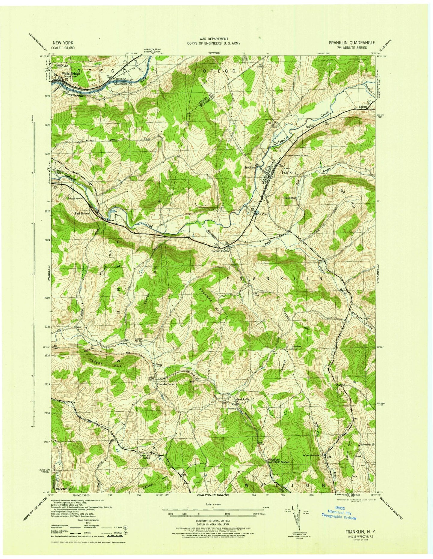
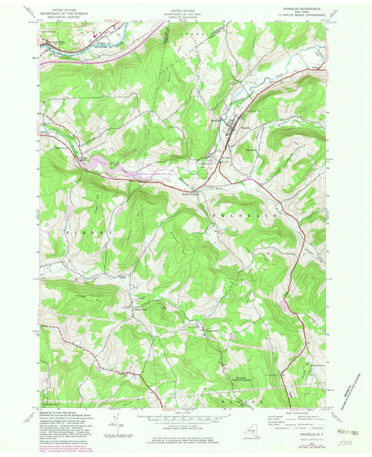
Classic USGS Franklin New York 7.5'x7.5' Topo Map
Couldn't load pickup availability
Historical USGS topographic quad map of Franklin in the state of New York. Map scale may vary for some years, but is generally around 1:24,000. Print size is approximately 24" x 27"
This quadrangle is in the following counties: Delaware, Otsego.
The map contains contour lines, roads, rivers, towns, and lakes. Printed on high-quality waterproof paper with UV fade-resistant inks, and shipped rolled.
Contains the following named places: Barnes Cemetery, Bartlett Hollow, Bennett Hollow, Brier Creek, Brooklyn, Chapel Hill School, Community Bible Church, East Branch Handsome Brook, East Sidney, East Sidney Cemetery, East Sidney Lake, Franklin, Franklin Central School, Franklin Depot, Franklin Fire Department Fire House, Franklin Free Library, Franklin Post Office, Gallop Hill, Handsome Brook, Heathen Hill, Hodges Hill, Johnson Hill, Lawton Hill, Leonta, Merrickville, Mount Zion, Oak Hill, Ouleout Valley Cemetery, Palmer Hill, Pat Pond, Plymouth Community Church Cemetery, Roundtop, Saint Paul's Episcopal Church, School Number 16, School Number 18, School Number 4, School Number 6, Sherman Hill, The Knoll Cemetery, Treadwell Creek, Unatego Junior - Senior High School, Village of Franklin, Wells Bridge, Wells Bridge Census Designated Place, Wells Bridge Post Office, Wells Bridge Volunteer Fire Department, West Branch Handsome Brook, Wheat Hill, Woodford, ZIP Codes: 13775, 13859