MyTopo
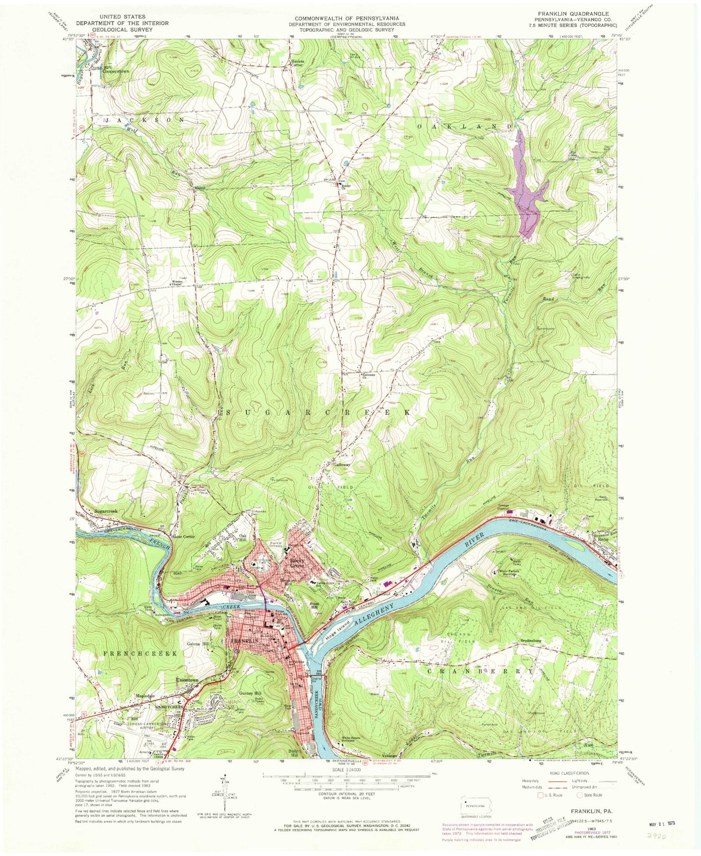
Classic USGS Franklin Pennsylvania 7.5'x7.5' Topo Map
Couldn't load pickup availability
Historical USGS topographic quad map of Franklin in the state of Pennsylvania. Map scale may vary for some years, but is generally around 1:24,000. Print size is approximately 24" x 27"
This quadrangle is in the following counties: Venango.
The map contains contour lines, roads, rivers, towns, and lakes. Printed on high-quality waterproof paper with UV fade-resistant inks, and shipped rolled.
Contains the following named places: Bethel Church, Bleakley Hill, Borough of Cooperstown, Borough of Sugarcreek, Borough of Sugarcreek Police Department, Brannon Run, Bredinsburg, Camp Singing Hills, Camp Wil-Bee, City of Franklin, Community Ambulance Service, Cooperstown, Eclipse, First Ward School, Fisher Airport, Foster Corner, Franklin, Franklin Cemetery, Franklin City Police Department, Franklin Fire Department, Franklin Hospital Airport, Franklin Post Office, French Creek, Galena Hill, Galloway, Galloway Church, Gurnet, Gurney Hill, Haslets Corner, Hill Top Airport, Hoge Island, Lake Creek, Mapledale, Mason, Miller-Sibley Field, Mount Zion Cemetery, Oak Forest School, Oak Hill, Oakland School, Patchel Run, Pioneer Cemetery, Point Hill, Prentice, Prichard School, Read Run, Reno, Reno Post Office, Reno Reservoir, Reno Volunteer Fire Department, River Ridge Golf Course, Rocky Grove, Rocky Grove Volunteer Fire Department, Saint Johns Church, Saint Patricks Cemetery, Saint Patricks School, Seneca Run, Seventh Saint School, Speer Public Golf Course, Two Mile Run Dam, Two Mile Run Reservoir, Twomile Run, Twomile Run County Park, Uniontown, Valley Grove School, Venango County, Venango County Sheriff's Office, Venango Regional Airport, Venango Regional Airport Aircraft Rescue and Fire Fighting Department, West Branch Twomile Run, WFRA-AM (Franklin), White Fathers Novitiate, White Sisters Novitiate, Wooden Chapel, WVEN-FM (Franklin), ZIP Codes: 16323, 16343


