
MyTopo
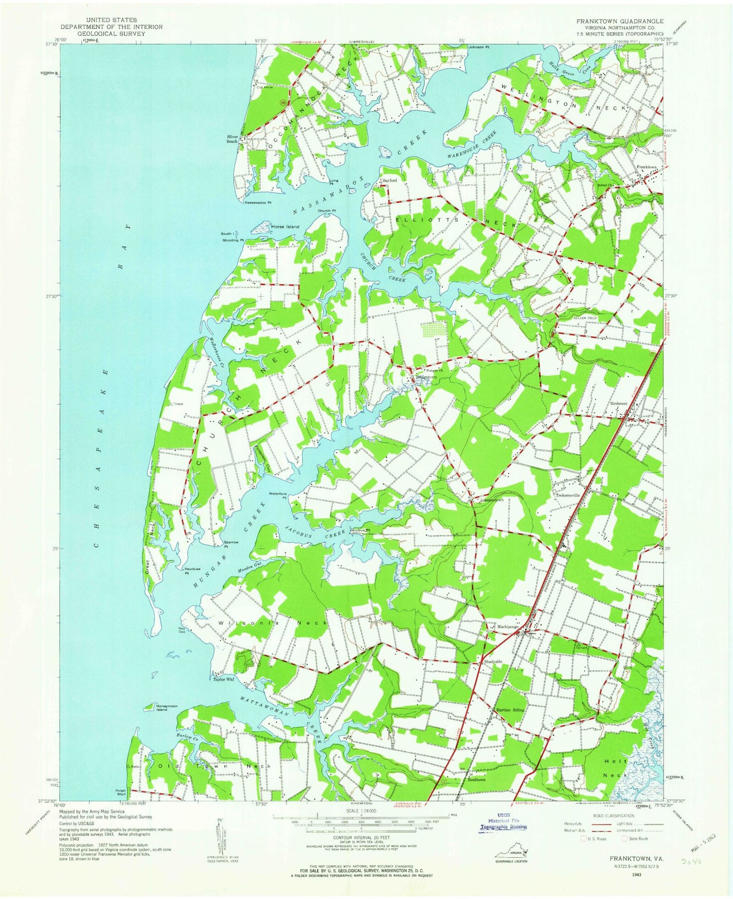
Classic USGS Franktown Virginia 7.5'x7.5' Topo Map
Couldn't load pickup availability
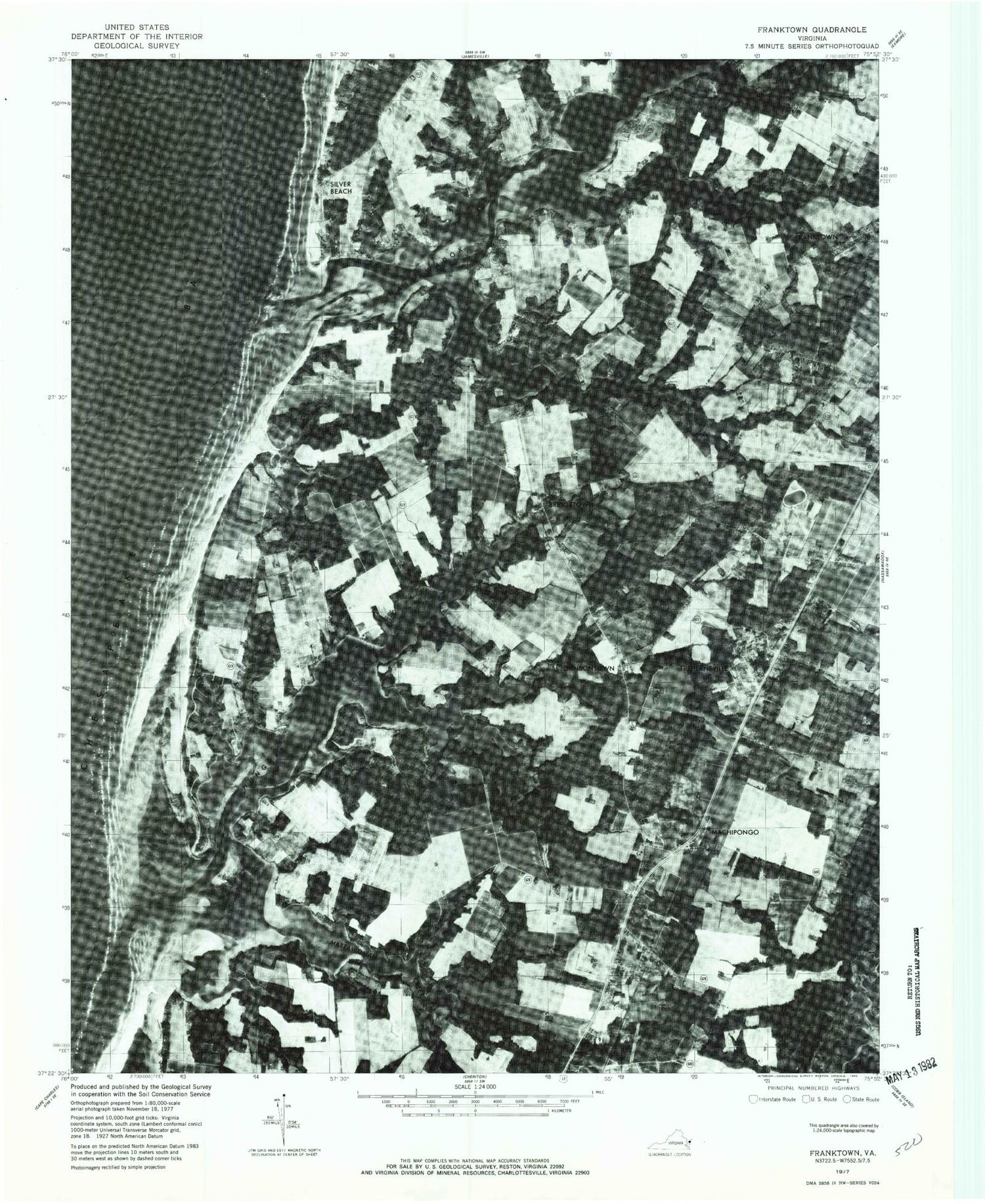
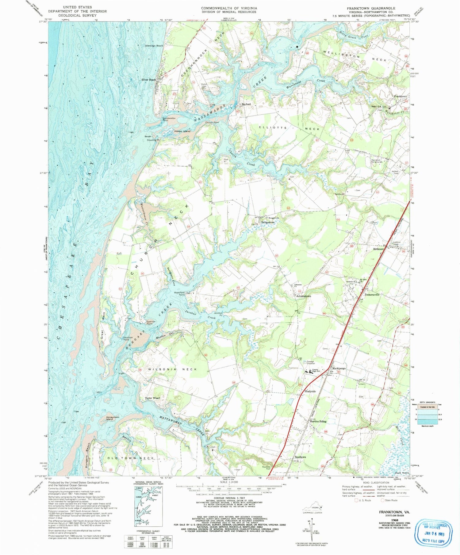
Historical USGS topographic quad map of Franktown in the state of Virginia. Typical map scale is 1:24,000, but may vary for certain years, if available. Print size: 24" x 27"
This quadrangle is in the following counties: Northampton.
The map contains contour lines, roads, rivers, towns, and lakes. Printed on high-quality waterproof paper with UV fade-resistant inks, and shipped rolled.
Contains the following named places: Antioch Church, Bethel Church, Birdsnest, Church Creek, Church Neck, Church Point, Downings Beach, Elliotts Neck, Great Neck, Holly Grove Cove, Honeymoon Island, Horse Island, Hungars Beach, Hungars Church, Jacobus Creek, Jacobus Point, Johnsons Church, Long Point, Martins Siding, Masden Gut, Mattawoman Creek, Mount Zion Church, Nassawadox Creek, Nassawadox Point, Paraplane Cove, Shooting Point, South Island, Sparrow Point, Taylor Wharf, Vaucluse Point, Warehouse Creek, Waterford Point, Weirwood Fairgrounds, Wellington Neck, Westerhouse Creek, Wilson Neck, Reedtown, Shadyside, The Saltworks, Mears Dam, Miller Dam, Miller Pond, Bayford, Bridgetown, Franktown, Johnsontown, Machipongo, Silver Beach, Treherneville, Barlow Creek, Campbell Field, Hungars Creek, Bayleys Neck Farm, Birdsnest Post Office, Cardinal Estates, Church Creek Point, Deerfield Estates, Franktown Methodist Church, Franktown Post Office, Gull Point, Harbour Point, Hideaway Cove, Hungars Point, Hungars Wharf (historical), Machipongo Elementary School, Machipongo Post Office, Northampton Middle School, Oldtown Neck Fort (historical), Peaceful Beach Estates, Shorters Chapel African Methodist Episcopal Church, Solitude Trails, The Saltworks (historical), Vaucluse Shores, Westerhouse Woods, Northampton County Department of Emergency Medical Services, The T E C H Center School, Chatham Vineyards and Winery, Holly Grove Vineyards, Machipongo International Airport, Franktown Census Designated Place, Antioch Church, Bethel Church, Birdsnest, Church Creek, Church Neck, Church Point, Downings Beach, Elliotts Neck, Great Neck, Holly Grove Cove, Honeymoon Island, Horse Island, Hungars Beach, Hungars Church, Jacobus Creek, Jacobus Point, Johnsons Church, Long Point, Martins Siding, Masden Gut, Mattawoman Creek, Mount Zion Church, Nassawadox Creek, Nassawadox Point, Paraplane Cove, Shooting Point, South Island, Sparrow Point, Taylor Wharf, Vaucluse Point, Warehouse Creek, Waterford Point, Weirwood Fairgrounds, Wellington Neck, Westerhouse Creek, Wilson Neck, Reedtown, Shadyside, The Saltworks, Mears Dam, Miller Dam, Miller Pond, Bayford, Bridgetown, Franktown, Johnsontown, Machipongo, Silver Beach, Treherneville, Barlow Creek, Campbell Field, Hungars Creek, Bayleys Neck Farm, Birdsnest Post Office, Cardinal Estates, Church Creek Point, Deerfield Estates, Franktown Methodist Church, Franktown Post Office, Gull Point, Harbour Point, Hideaway Cove, Hungars Point, Hungars Wharf (historical), Machipongo Elementary School, Machipongo Post Office, Northampton Middle School, Oldtown Neck Fort (historical), Peaceful Beach Estates, Shorters Chapel African Methodist Episcopal Church, Solitude Trails, The Saltworks (historical), Vaucluse Shores, Westerhouse Woods, Northampton County Department of Emergency Medical Services, The T E C H Center School, Chatham Vineyards and Winery, Holly Grove Vineyards, Machipongo International Airport, Franktown Census Designated Place