MyTopo
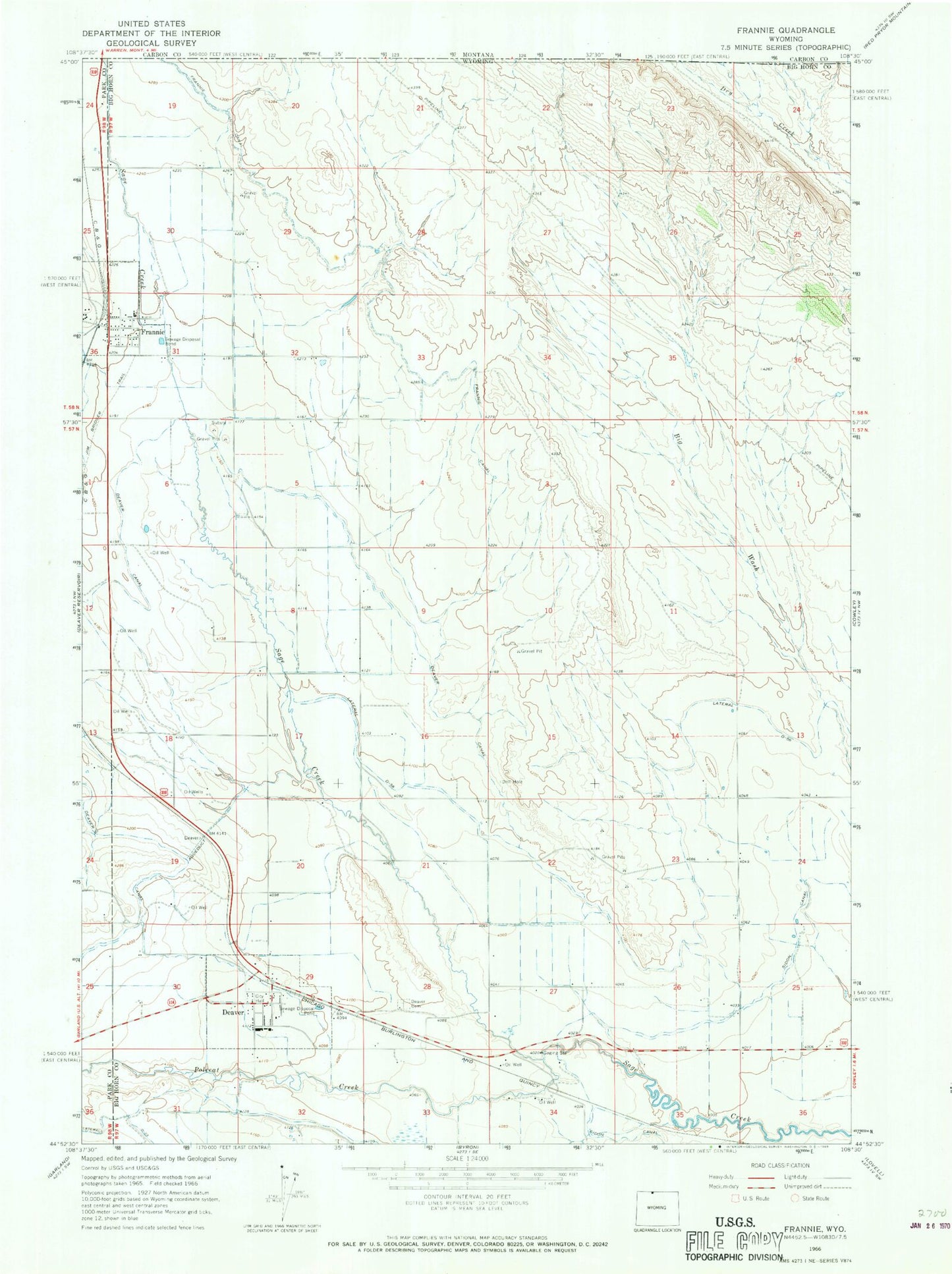
Classic USGS Frannie Wyoming 7.5'x7.5' Topo Map
Couldn't load pickup availability
Historical USGS topographic quad map of Frannie in the state of Wyoming. Map scale may vary for some years, but is generally around 1:24,000. Print size is approximately 24" x 27"
This quadrangle is in the following counties: Big Horn, Carbon, Park.
The map contains contour lines, roads, rivers, towns, and lakes. Printed on high-quality waterproof paper with UV fade-resistant inks, and shipped rolled.
Contains the following named places: Big Horn County Fire Protection District 5 Deaver, Deaver, Deaver Canal, Deaver Cemetery, Deaver Post Office, Deaver-Frannie School, Dry Gulch Mine, Frannie, Frannie Post Office, Lateral D-23, Lateral D-56, Polecat Creek, Rocky Mountain Middle School, Town of Deaver, Town of Frannie, ZIP Codes: 82421, 82423