MyTopo
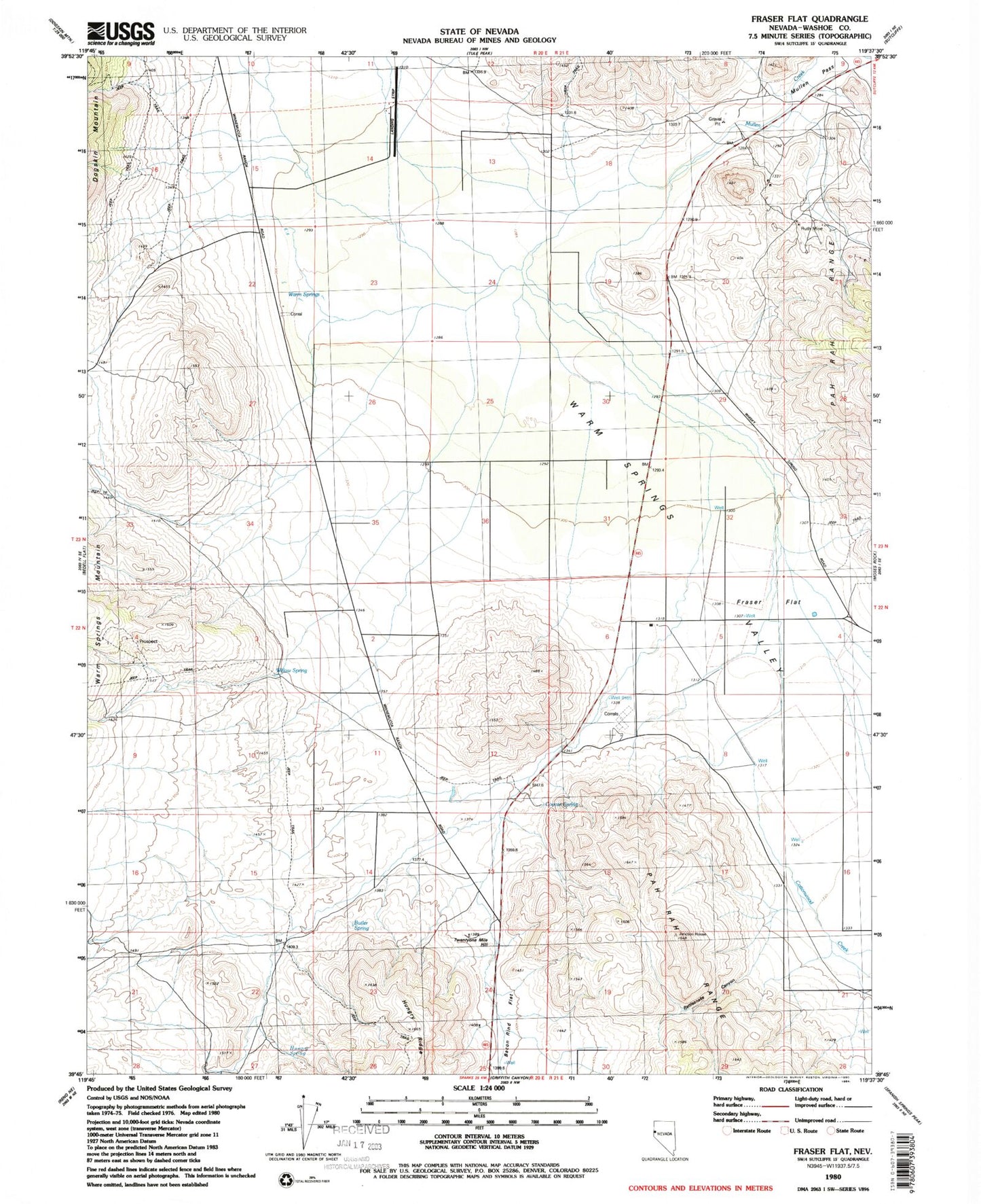
Classic USGS Fraser Flat Nevada 7.5'x7.5' Topo Map
Couldn't load pickup availability
Historical USGS topographic quad map of Fraser Flat in the state of Nevada. Map scale may vary for some years, but is generally around 1:24,000. Print size is approximately 24" x 27"
This quadrangle is in the following counties: Washoe.
The map contains contour lines, roads, rivers, towns, and lakes. Printed on high-quality waterproof paper with UV fade-resistant inks, and shipped rolled.
Contains the following named places: Air Sailing Gliderport, Bacon Rind Flat, Blondell Ranch, Butler Spring, Cottonwood Creek, Coyote Spring, Flying Eagle Airport, Fraser Flat, Gibb Ranch Airport, Hungry Spring, Hungry Valley, Junction House, Kimberly Hill, NAA Weather Station, Norton Mill, Palomino Airport, Palomino Valley Volunteer Fire Department Station 229, Rattlesnake Canyon, Rolling Thunder Airport, Ruth Mine, Twenty Mile House, Twentyone Mile Hill, Warm Springs, Willow Spring