MyTopo
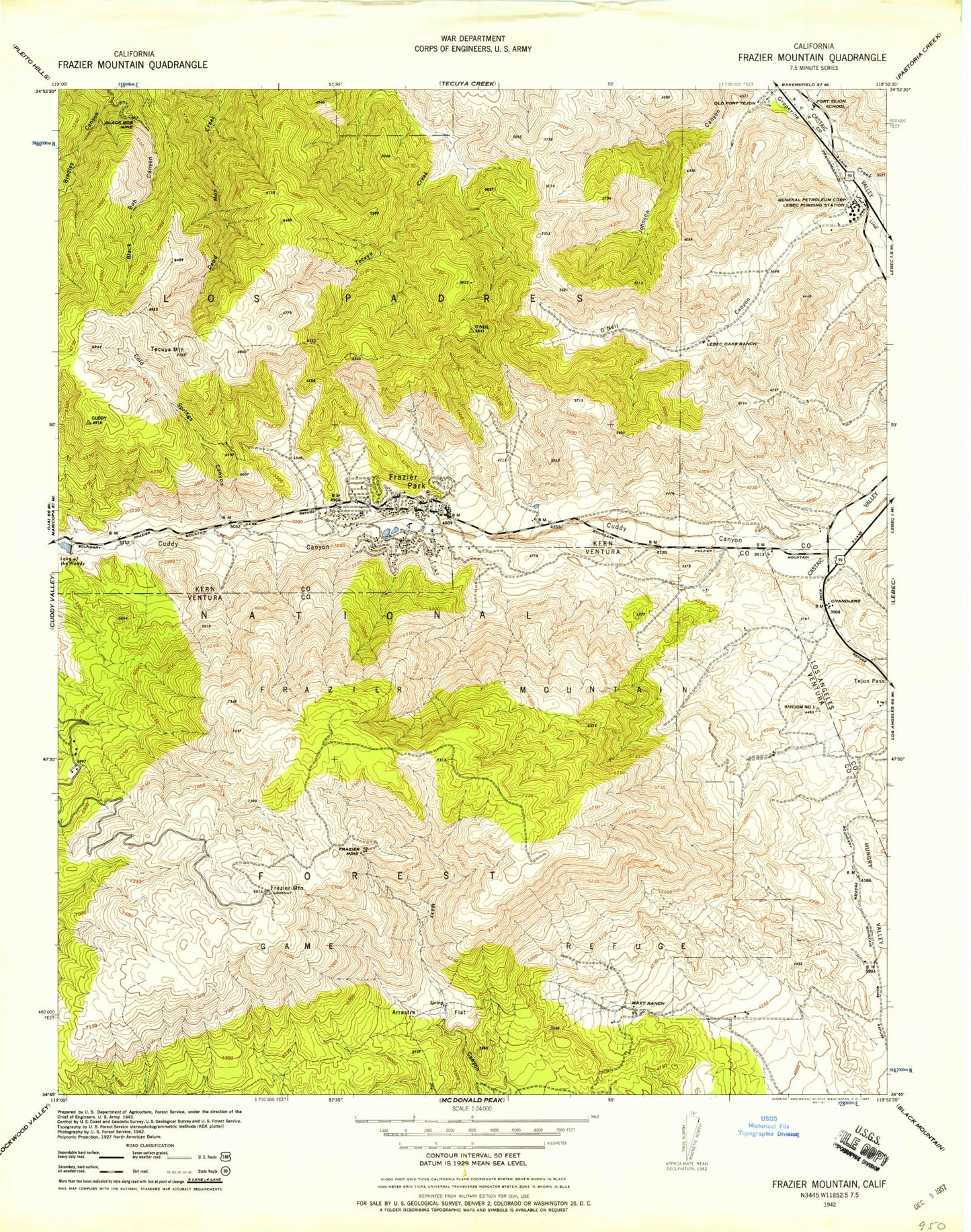
Classic USGS Frazier Mountain California 7.5'x7.5' Topo Map
Couldn't load pickup availability
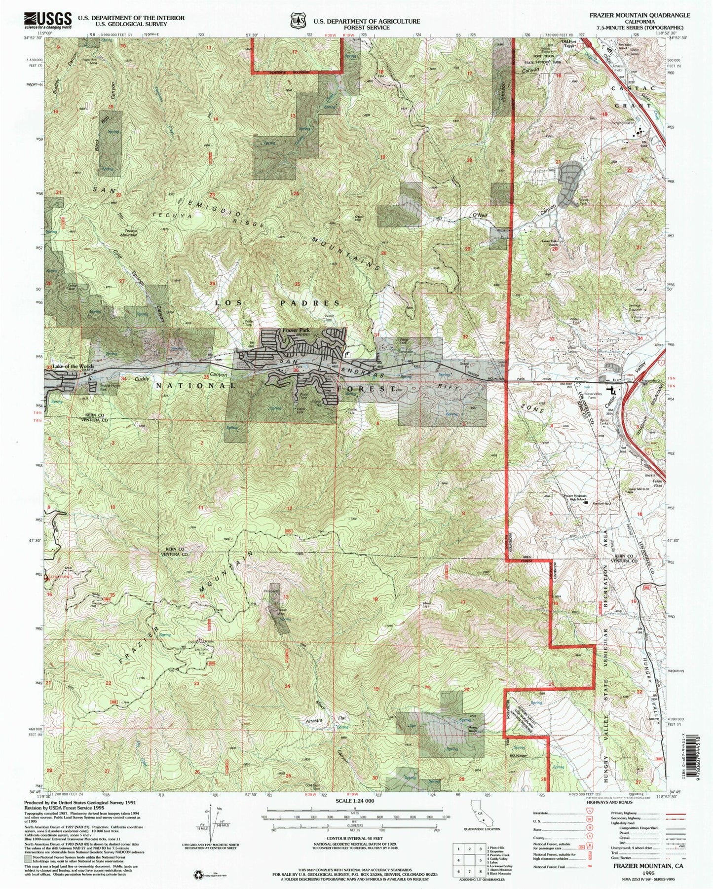
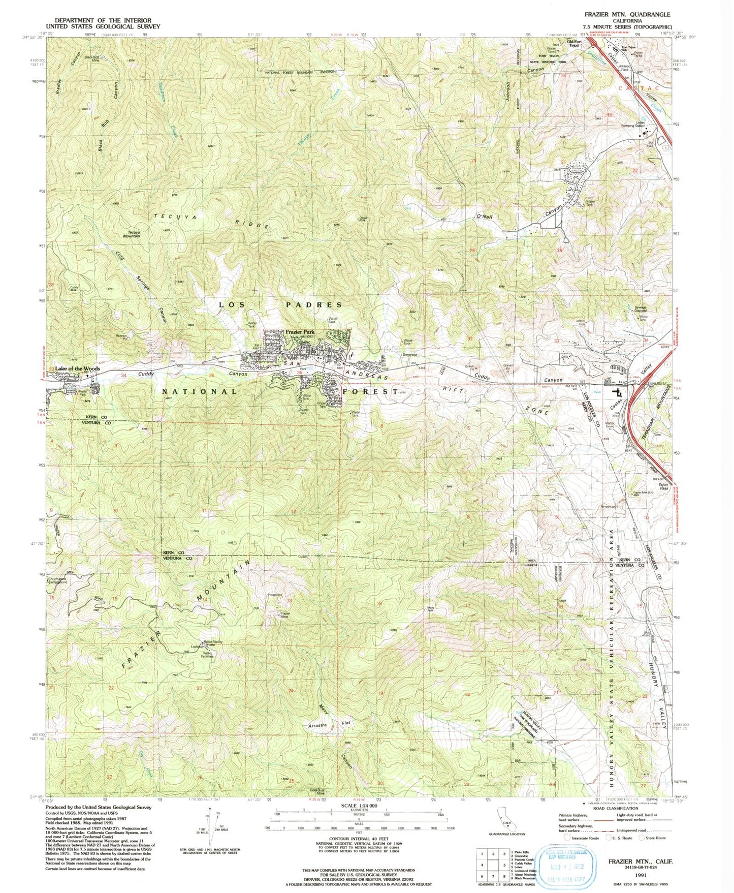
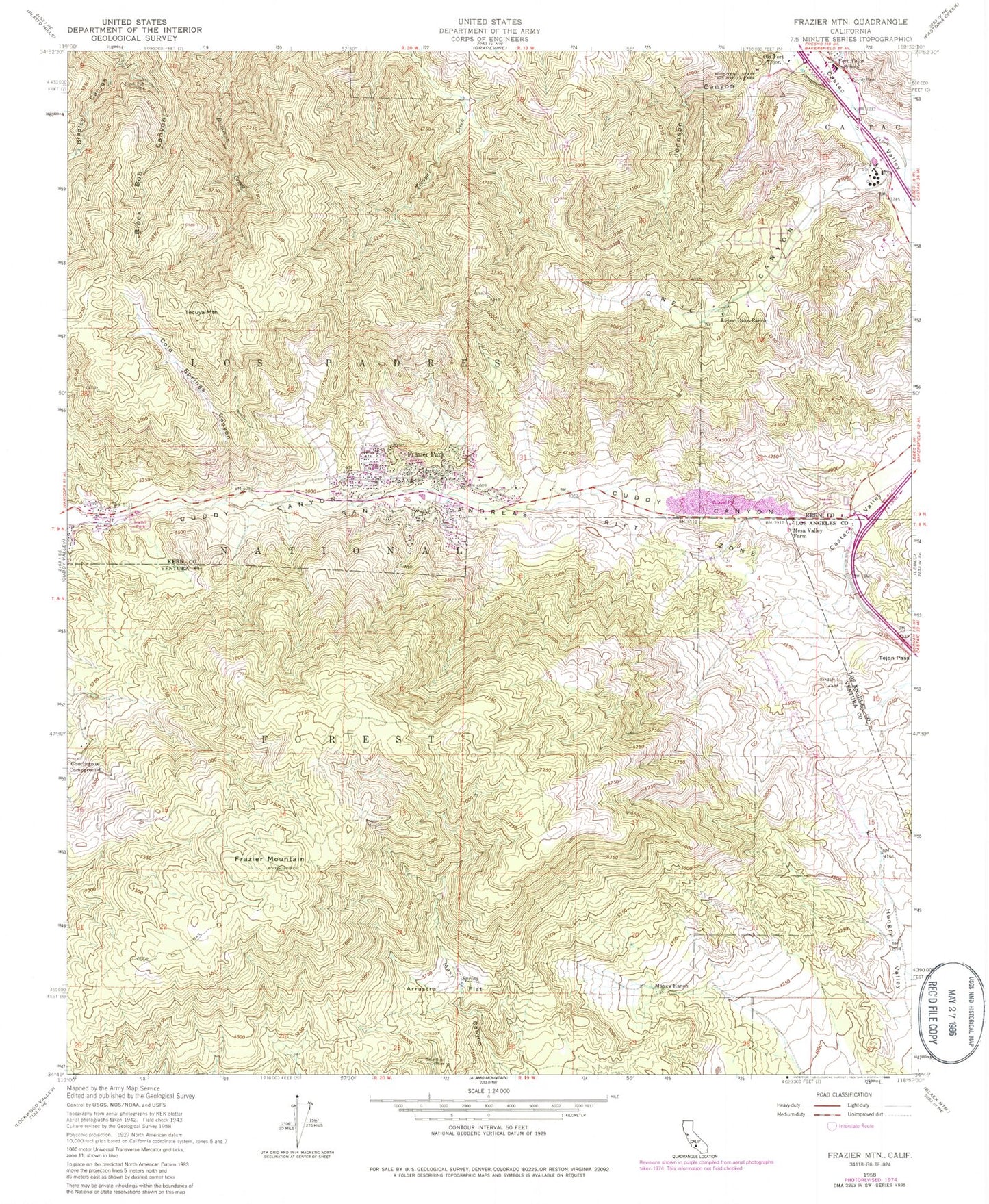
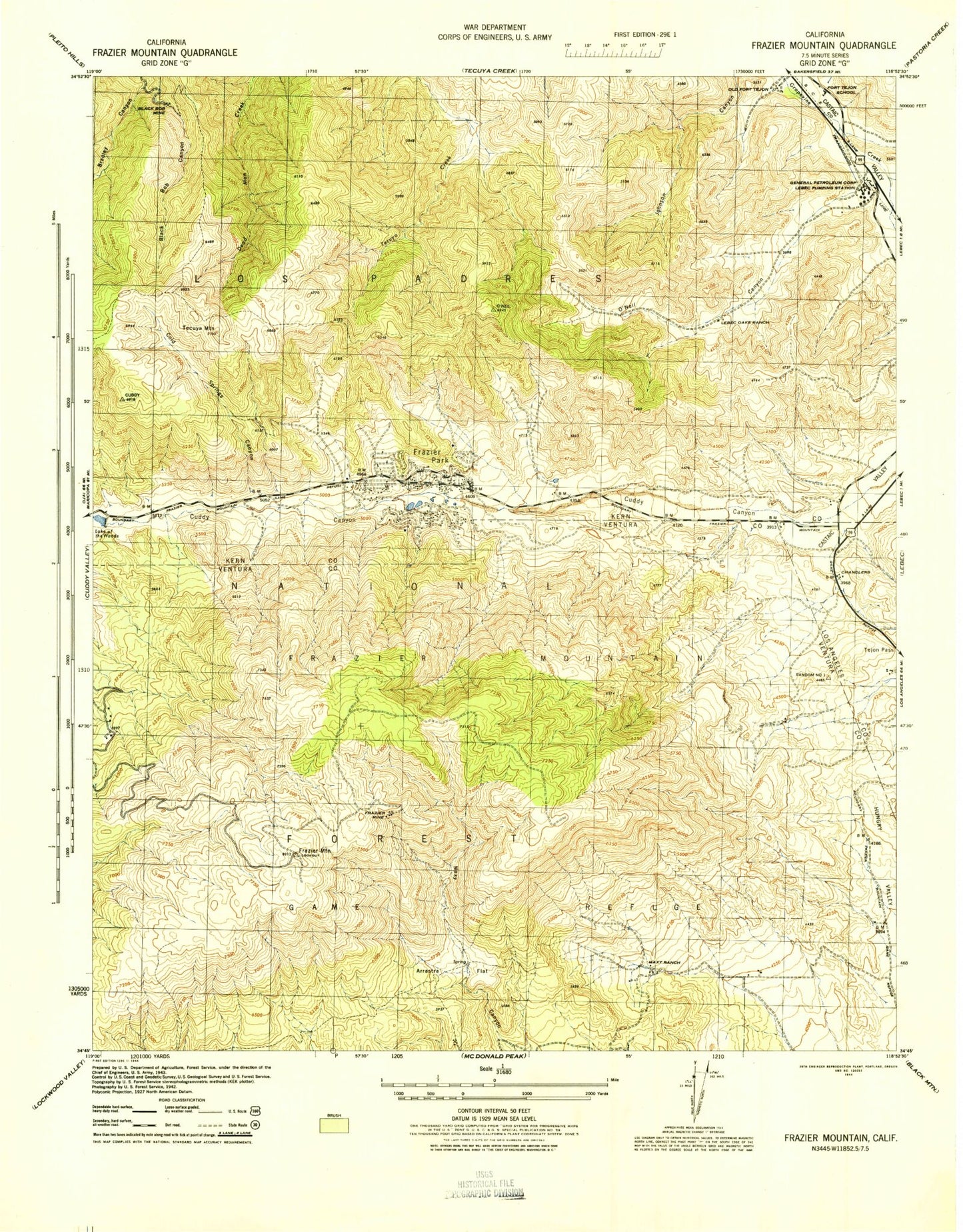
Historical USGS topographic quad map of Frazier Mountain in the state of California. Typical map scale is 1:24,000, but may vary for certain years, if available. Print size: 24" x 27"
This quadrangle is in the following counties: Kern, Los Angeles, Ventura.
The map contains contour lines, roads, rivers, towns, and lakes. Printed on high-quality waterproof paper with UV fade-resistant inks, and shipped rolled.
Contains the following named places: Hungry Valley Oak Woodland Natural Preserve, Lake of the Woods, Arrastra Flat, Black Bob Mine, Bradley Canyon, Cold Springs Canyon, Cuddy Canyon, El Tejon Elementary School, Fort Tejon State Historic Park, Frazier Mine, Frazier Mountain, Gold Dust Mine, Lebec Oaks Ranch, Maxey Ranch, Mesa Valley Farm, O'Neil Canyon, Tecuya Mountain, Tejon Pass, Tecuya Ridge, Lebec Pumping Station, Frazier Park, Old Fort Tejon (historical), Chandler (historical), Lake of the Woods (historical), Church of Christ, Frazier Mountain Park, Frazier Park Assembly of God Church, Frazier Park Branch Kern County Library, Frazier Park Elementary School, Frazier Park Post Office, Frazier Park Census Designated Place, Lebec Census Designated Place, Kern County Fire Department Station 57 Frazier Park, Tejon Ranch, Kern County Sheriff's Department, California Highway Patrol Fort Tejon, Hungry Valley Oak Woodland Natural Preserve, Lake of the Woods, Arrastra Flat, Black Bob Mine, Bradley Canyon, Cold Springs Canyon, Cuddy Canyon, El Tejon Elementary School, Fort Tejon State Historic Park, Frazier Mine, Frazier Mountain, Gold Dust Mine, Lebec Oaks Ranch, Maxey Ranch, Mesa Valley Farm, O'Neil Canyon, Tecuya Mountain, Tejon Pass, Tecuya Ridge, Lebec Pumping Station, Frazier Park, Old Fort Tejon (historical), Chandler (historical), Lake of the Woods (historical), Church of Christ, Frazier Mountain Park, Frazier Park Assembly of God Church, Frazier Park Branch Kern County Library, Frazier Park Elementary School, Frazier Park Post Office, Frazier Park Census Designated Place, Lebec Census Designated Place, Kern County Fire Department Station 57 Frazier Park, Tejon Ranch, Kern County Sheriff's Department, California Highway Patrol Fort Tejon, Hungry Valley Oak Woodland Natural Preserve, Lake of the Woods, Arrastra Flat, Black Bob Mine, Bradley Canyon, Cold Springs Canyon, Cuddy Canyon, El Tejon Elementary School, Fort Tejon State Historic Park, Frazier Mine, Frazier Mountain, Gold Dust Mine, Lebec Oaks Ranch, Maxey Ranch, Mesa Valley Farm, O'Neil Canyon, Tecuya Mountain, Tejon Pass, Tecuya Ridge, Lebec Pumping Station, Frazier Park, Old Fort Tejon (historical), Chandler (historical), Lake of the Woods (historical), Church of Christ, Frazier Mountain Park, Frazier Park Assembly of God Church, Frazier Park Branch Kern County Library, Frazier Park Elementary School, Frazier Park Post Office, Frazier Park Census Designated Place, Lebec Census Designated Place, Kern County Fire Department Station 57 Frazier Park, Tejon Ranch, Kern County Sheriff's Department, California Highway Patrol Fort Tejon, Hungry Valley Oak Woodland Natural Preserve, Lake of the Woods, Arrastra Flat, Black Bob Mine, Bradley Canyon, Cold Springs Canyon, Cuddy Canyon, El Tejon Elementary School, Fort Tejon State Historic Park, Frazier Mine, Frazier Mountain, Gold Dust Mine, Lebec Oaks Ranch, Maxey Ranch, Mesa Valley Farm, O'Neil Canyon, Tecuya Mountain, Tejon Pass, Tecuya Ridge, Lebec Pumping Station, Frazier Park, Old Fort Tejon (historical), Chandler (historical), Lake of the Woods (historical), Church of Christ, Frazier Mountain Park, Frazier Park Assembly of God Church, Frazier Park Branch Kern County Library, Frazier Park Elementary School, Frazier Park Post Office, Frazier Park Census Designated Place, Lebec Census Designated Place, Kern County Fire Department Station 57 Frazier Park, Tejon Ranch, Kern County Sheriff's Department, California Highway Patrol Fort Tejon
