MyTopo
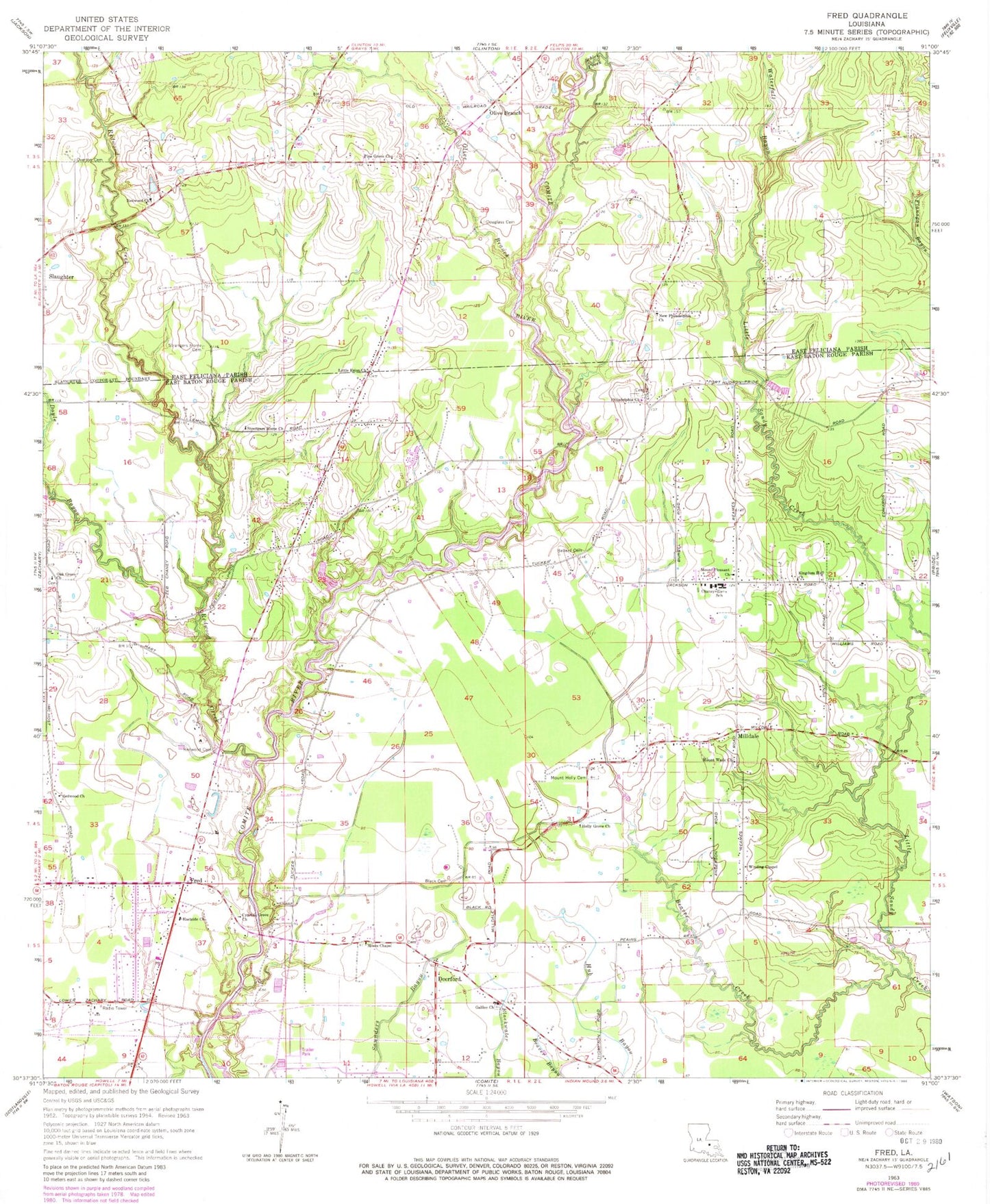
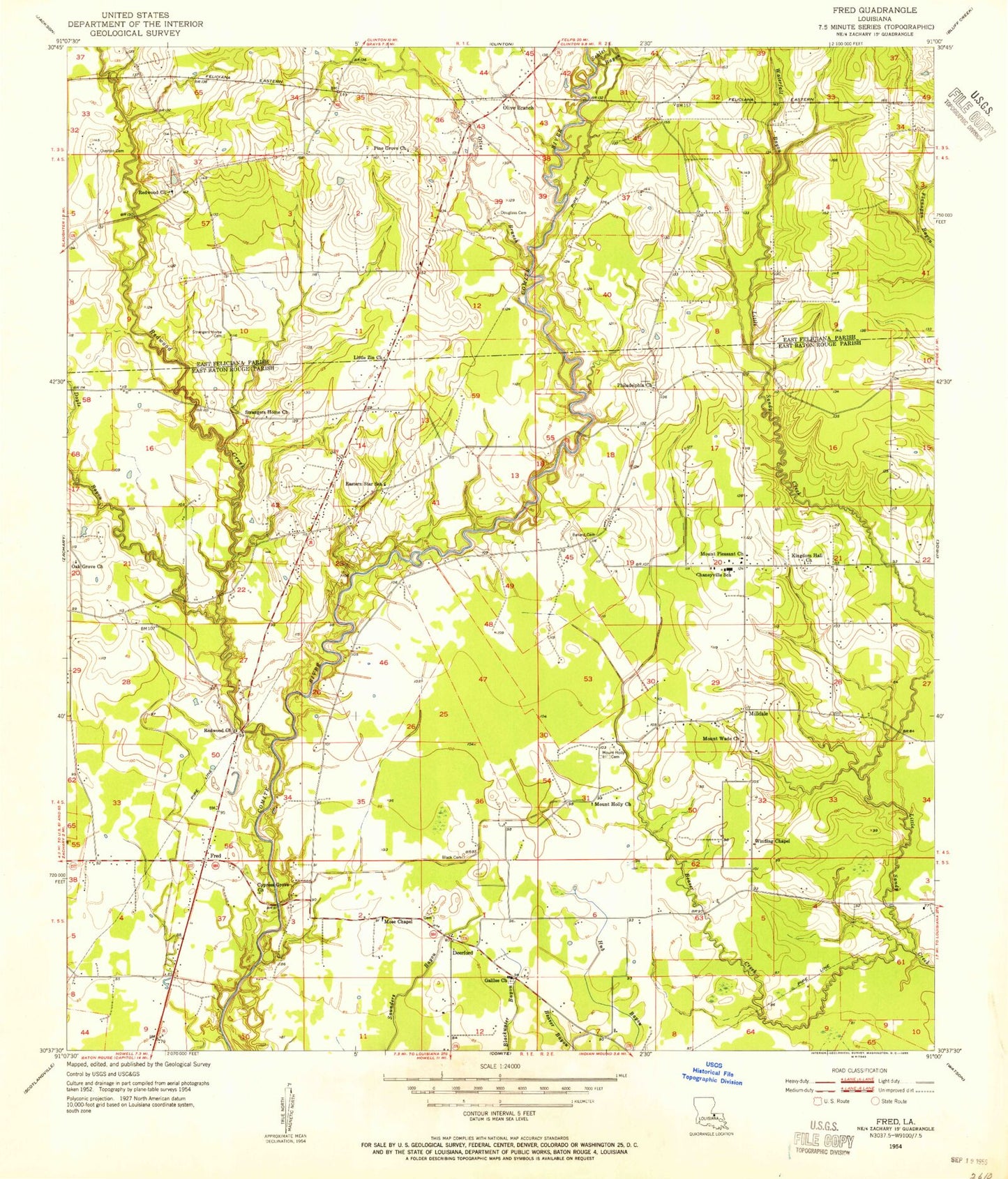
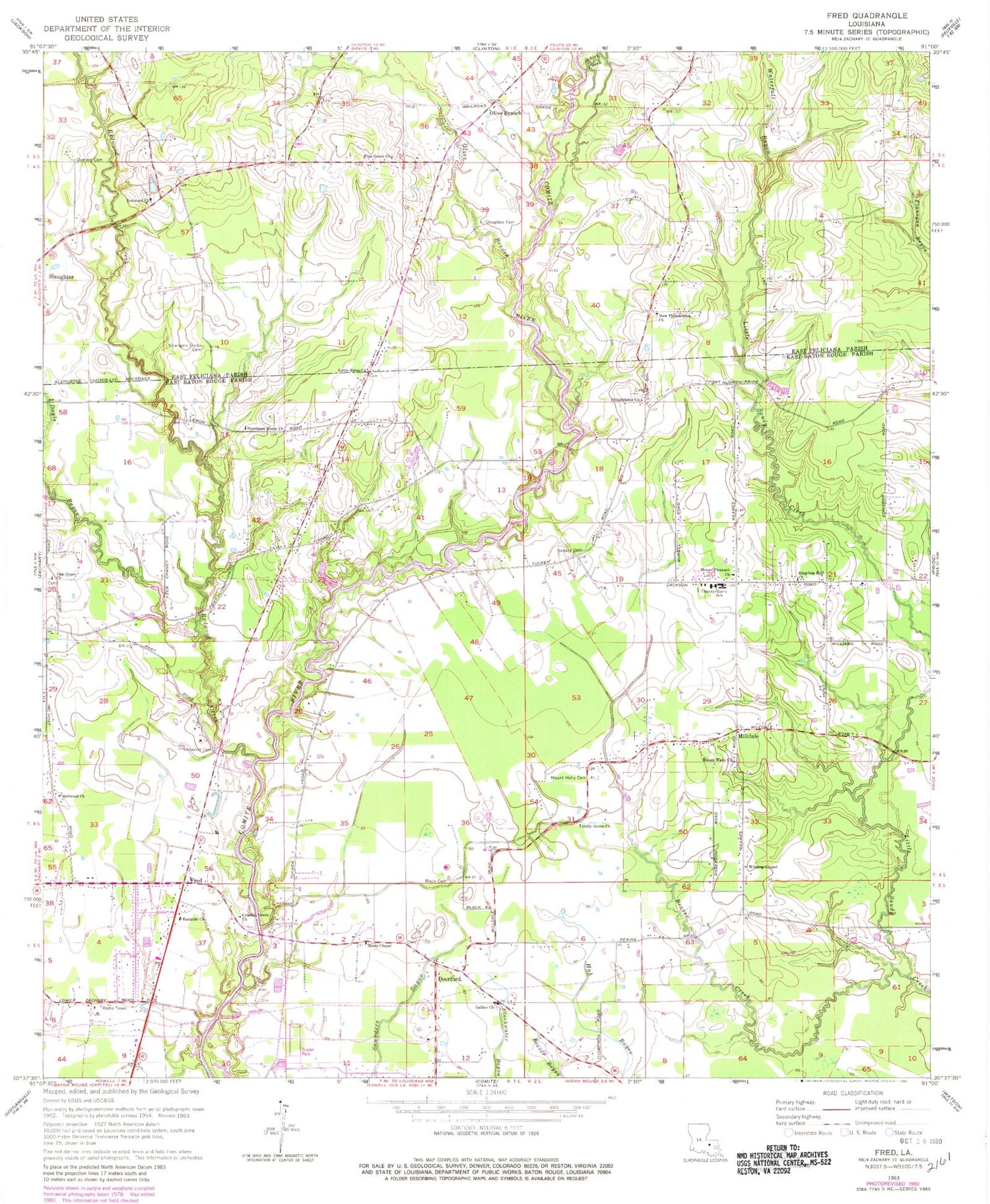
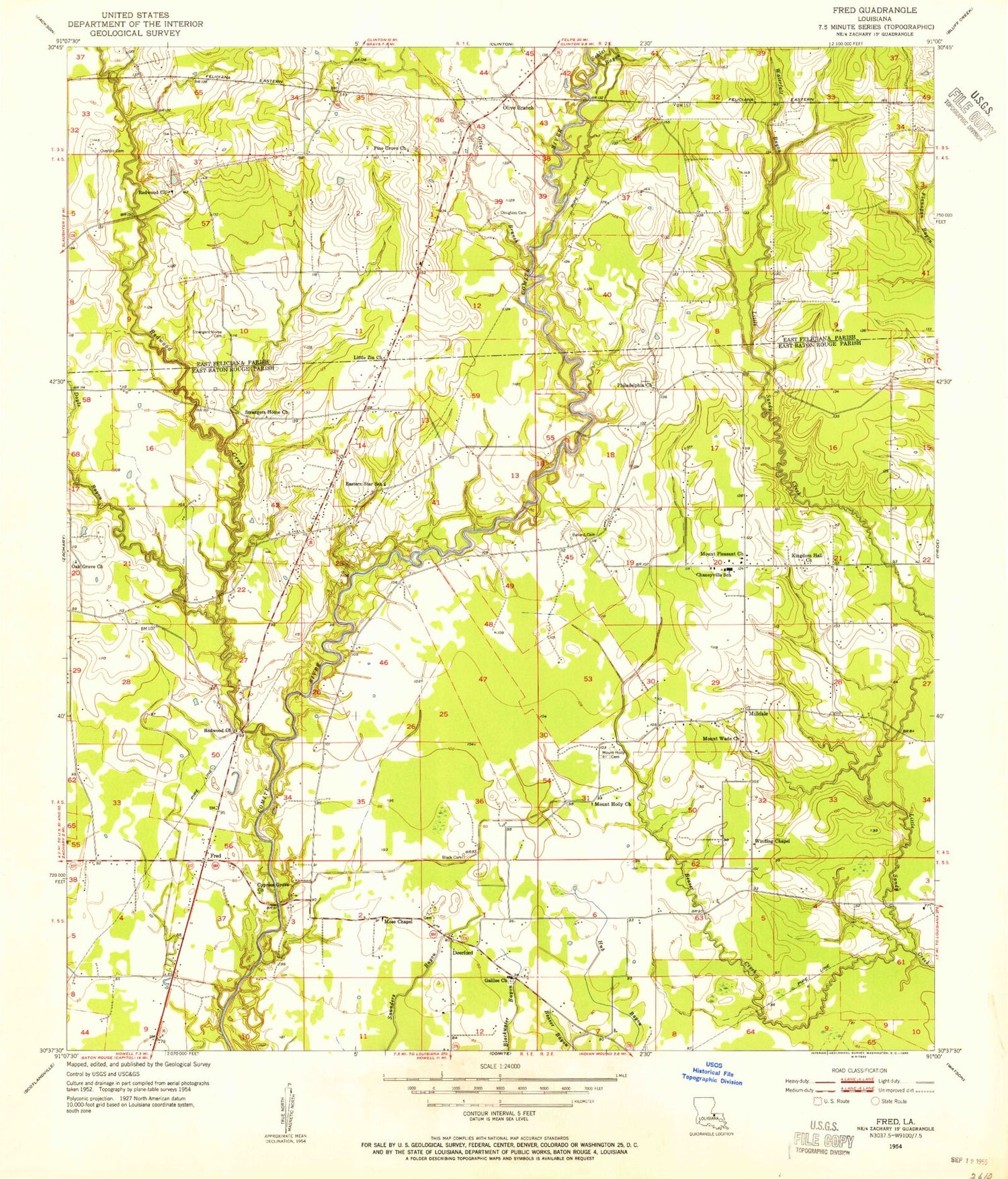
Classic USGS Fred Louisiana 7.5'x7.5' Topo Map
Couldn't load pickup availability
Historical USGS topographic quad map of Fred in the state of Louisiana. Map scale may vary for some years, but is generally around 1:24,000. Print size is approximately 24" x 27"
This quadrangle is in the following counties: East Baton Rouge, East Feliciana.
The map contains contour lines, roads, rivers, towns, and lakes. Printed on high-quality waterproof paper with UV fade-resistant inks, and shipped rolled.
Contains the following named places: Annison Private Airport, Ballard Cemetery, Beaver Creek, Black Cemetery, Chaneyville Community Center, Chaneyville School, Chaneyville Volunteer Fire Department, Country Breeze Airport, Cypress Grove Church, Deerford, Deerford Methodist Church, Deerford Post Office, Douglass Cemetery, Doyle Bayou, East Baton Rouge Parish Library Pride - Chaneyville Branch, Eastside Baptist Church, Fred, Galilee Baptist Church, Greater Oak Grove Baptist Church, Holly Grove Church, Junior Deputy Camp, Kingdom Hall Church, Little Ezion Church, Milldale, Milldale Baptist Church, Moses Chapel, Mount Holly Grove Cemetery, Mount Pleasant Church, Mount Wade Church, New Philadelphia Church, Northeast Elementary School, Northeast High School, Oak Grove Baptist Church Number 1, Olive Branch, Overton Cemetery, Parish Governing Authority District 1, Philadelphia Church, Pine Grove Church, Redwood Baptist Church, Redwood Cemetery, Redwood Church, Redwood Creek, Rock Church and World Ministries, Schlei Bayou, Strangers Home Cemetery, Strangers Home Church, Waterfall Bayou, Whitehead Ultralight Flightpark, Winding Chapel, ZIP Code: 70777


