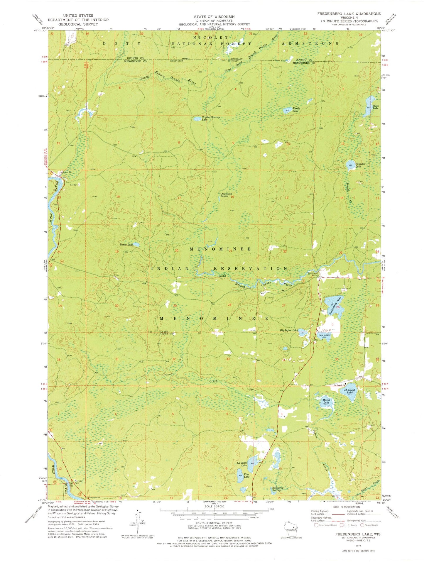
MyTopo
Classic USGS Fredenberg Lake Wisconsin 7.5'x7.5' Topo Map
Couldn't load pickup availability
Historical USGS topographic quad map of Fredenberg Lake in the state of Wisconsin. Map scale may vary for some years, but is generally around 1:24,000. Print size is approximately 24" x 27"
This quadrangle is in the following counties: Menominee, Oconto.
The map contains contour lines, roads, rivers, towns, and lakes. Printed on high-quality waterproof paper with UV fade-resistant inks, and shipped rolled.
Contains the following named places: Beauprey Springs, Big Injun Lake, Chipmunk Rapids, Crystal Springs Lake, First South Branch Oconto River, Founder Creek, Founder Lake, Fredenberg Lake, La Belle Lake, La Belle Lookout Tower, Marsh Lake, Menominee Reservation Campground, Pine Lake, Saint Joseph Church, Saint Joseph Lake, South Branch Ranger Station, Sunia Lake, Turtle Lake, Vejo Lake, Weso Lake, Wolf Wild and Scenic River