MyTopo
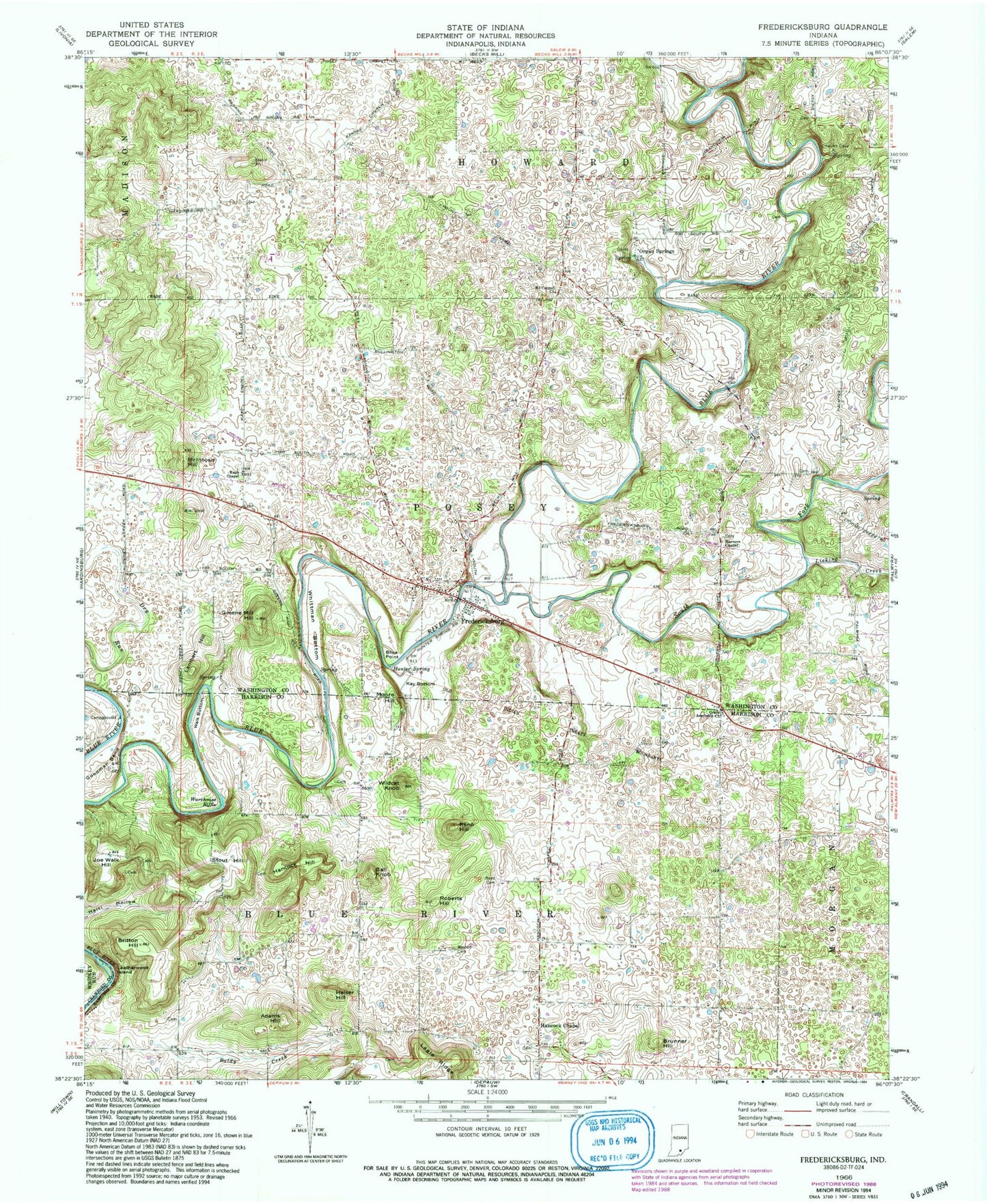
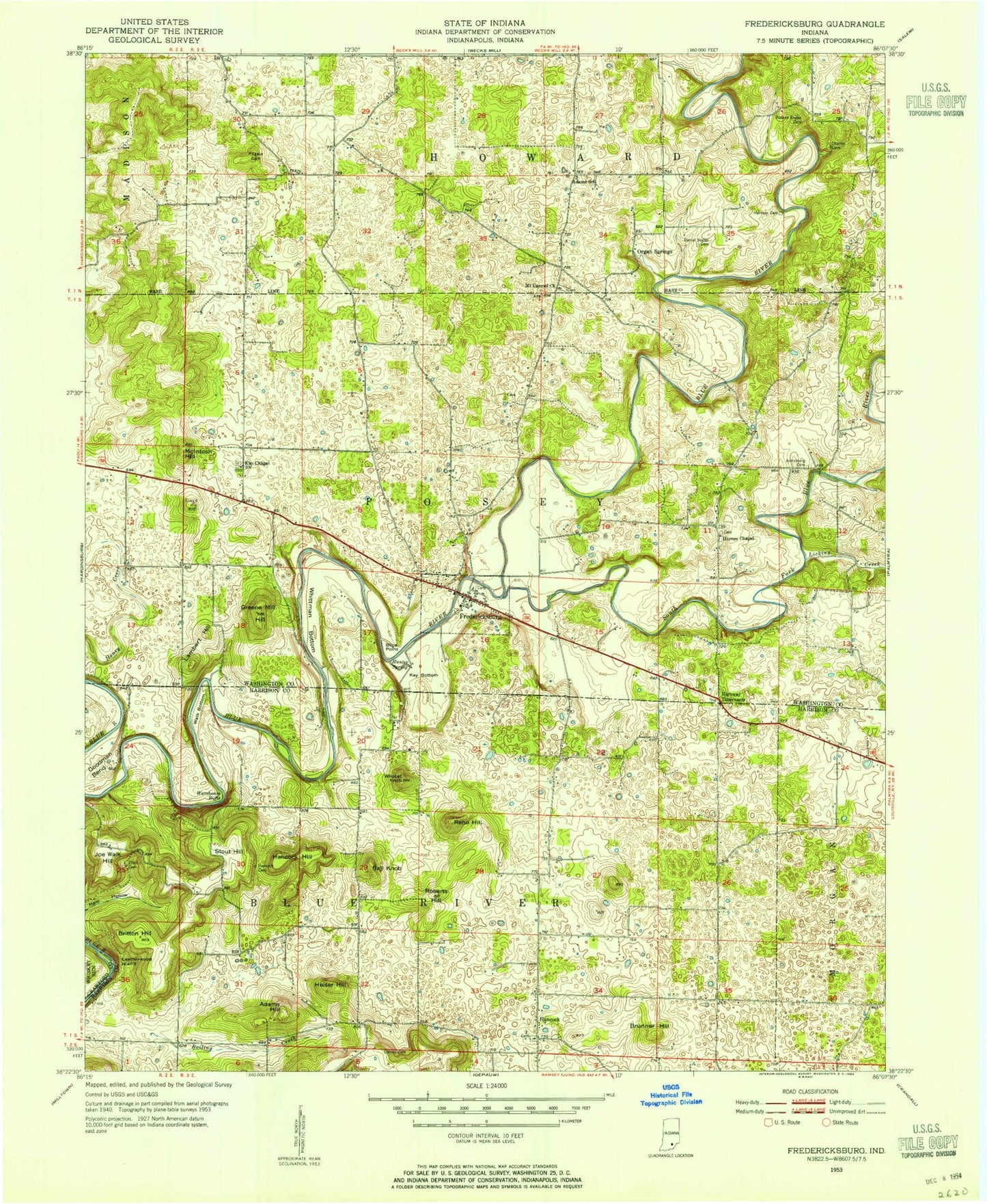
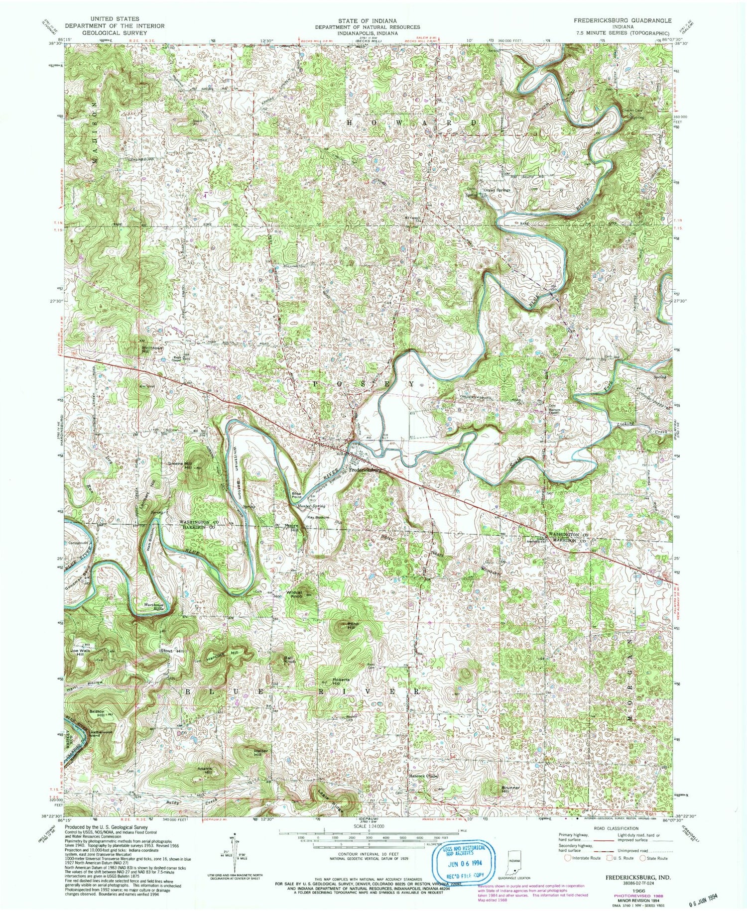
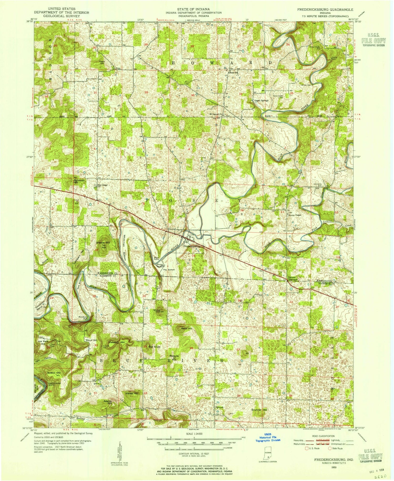
Classic USGS Fredericksburg Indiana 7.5'x7.5' Topo Map
Couldn't load pickup availability
Historical USGS topographic quad map of Fredericksburg in the state of Indiana. Map scale may vary for some years, but is generally around 1:24,000. Print size is approximately 24" x 27"
This quadrangle is in the following counties: Crawford, Harrison, Washington.
The map contains contour lines, roads, rivers, towns, and lakes. Printed on high-quality waterproof paper with UV fade-resistant inks, and shipped rolled.
Contains the following named places: Adams Hill, Baldy Creek, Ball Knob, Blice Point, Blue River Fire Department, Boston Cemetery, Britton Hill, Brunner Hill, Fredericksburg, Fredericksburg Census Designated Place, Fredericksburg Post Office, Goodman Bend, Grace Assembly Church, Greene Mill Hill, Hancock Chapel, Hancock Hill, Hancocks Post Office, Heiser Hill, Horners Chapel, Hunter Spring, Jacobi Airport, Joe Walk Hill, Kay Bottom, Kays Chapel, Lambert Hill, Leatherwood Island, Licking Creek, McIntosh Hill, Mitchell Plain, Moore Hill, Mount Carmel Church, Organ Springs, Posey Township Volunteer Fire Department, Reno Cemetery, Reno Hill, Roberts Hill, South Fork Blue River, Stout Hill, Town of Fredericksburg, Township of Blue River, Township of Posey, Walk Bottom, Warehouse Riffle, Whittman Bottom, Wildcat Knob, ZIP Code: 47120


