MyTopo
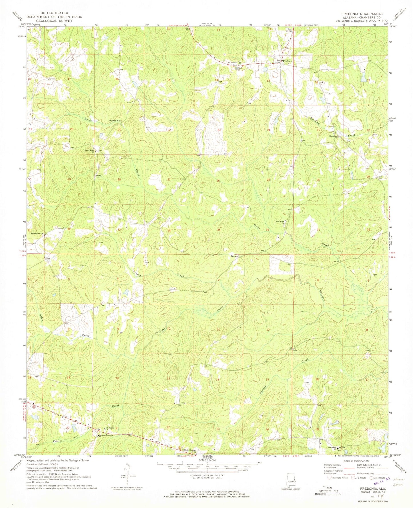
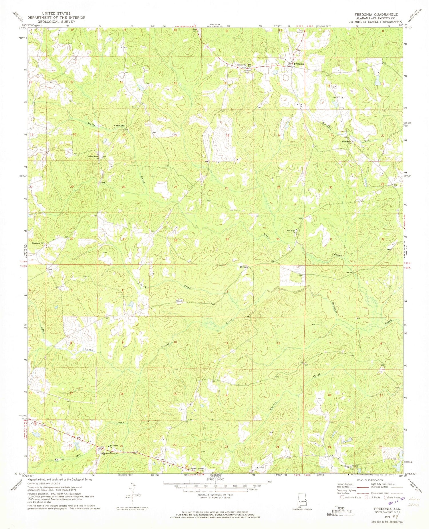
Classic USGS Fredonia Alabama 7.5'x7.5' Topo Map
Couldn't load pickup availability
Historical USGS topographic quad map of Fredonia in the state of Alabama. Map scale may vary for some years, but is generally around 1:24,000. Print size is approximately 24" x 27"
This quadrangle is in the following counties: Chambers.
The map contains contour lines, roads, rivers, towns, and lakes. Printed on high-quality waterproof paper with UV fade-resistant inks, and shipped rolled.
Contains the following named places: Allen Creek, Darden Dam, Dardens Lake, Denson, Emmanuel Church, Emory Chapel Cemetery, Evangel Temple Church, Finley Creek, Fredonia, Fredonia Campground and Refuge Center, Fredonia Census Designated Place, Fredonia Church, Fredonia Fire and Rescue Unit, Fredonia Fire Tower, Hills Lake, Holstum Cemetery, Holstun Cemetery, Jackson Memorial Baptist Church, Kellem Hill Creek, Kendrick-Holmes Dam, Lanett Division, Macedonia Church, Mitchell Springs Church, Mount Pisgah Church, Mount Zion Church, New Hope Baptist Church, New Hope Cemetery, New Hope Church, Providence Baptist Church, Providence Cemetery, Sharon Cemetery, Smith Dam, Stamps Cemetery, Sweet Home Methodist Church, Swint - Hammack Cemetery, Thlakalchka Cholockominne, Thompson Dam, Thompson Lake, Victory Church, Wards Mill, Water Works Creek, Wells Creek, Wright Family Cemetery, ZIP Code: 36863