MyTopo
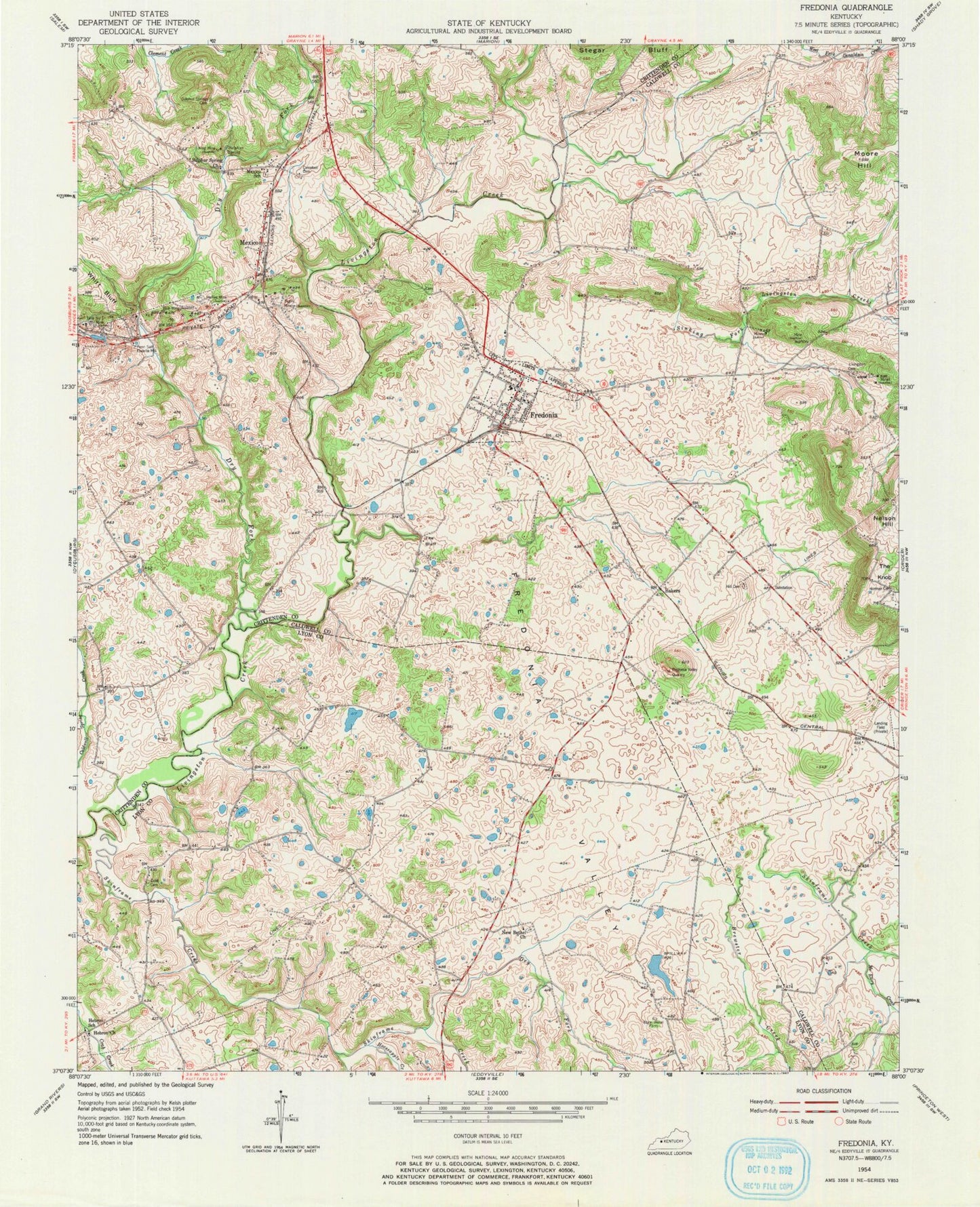
Classic USGS Fredonia Kentucky 7.5'x7.5' Topo Map
Couldn't load pickup availability
Historical USGS topographic quad map of Fredonia in the state of Kentucky. Map scale may vary for some years, but is generally around 1:24,000. Print size is approximately 24" x 27"
This quadrangle is in the following counties: Caldwell, Crittenden, Lyon.
The map contains contour lines, roads, rivers, towns, and lakes. Printed on high-quality waterproof paper with UV fade-resistant inks, and shipped rolled.
Contains the following named places: Bakers, Blue Mine, Brewster Creek, Campbell Cemetery, Centerville, Centerville Historical Marker, City of Fredonia, Cobb Cemetery, Crider African American Cemetery, Dry Fork, Dry Fork Skinframe Creek, Fredonia, Fredonia Fire Department, Fredonia Post Office, Fredonia Valley, Fredonia Valley Quarry, Haffaw Mine, Hebron Church, Hebron School, Hickory Grove, Hill Cemetery, Horseapple Creek, King Mine, Lilydale, Livingston, Livingston Cemetery, McElroy Creek, Mexico, Mexico School, Mills Bluff Creek, Moore Hill, New Bethel Church, Norman Cemetery, Penn Salt Fluorite Mill, Pigmy Mines, Sinking Fork Livingston Creek, Skinframe Creek, State Penal Farm, Sulphur Spring, Sulphur Spring Church, Sulphur Springs Cemetery, Tabb Number 1 Mine, The Bluff, The Knob, Western Kentucky Correctional Complex, ZIP Code: 42411


