MyTopo
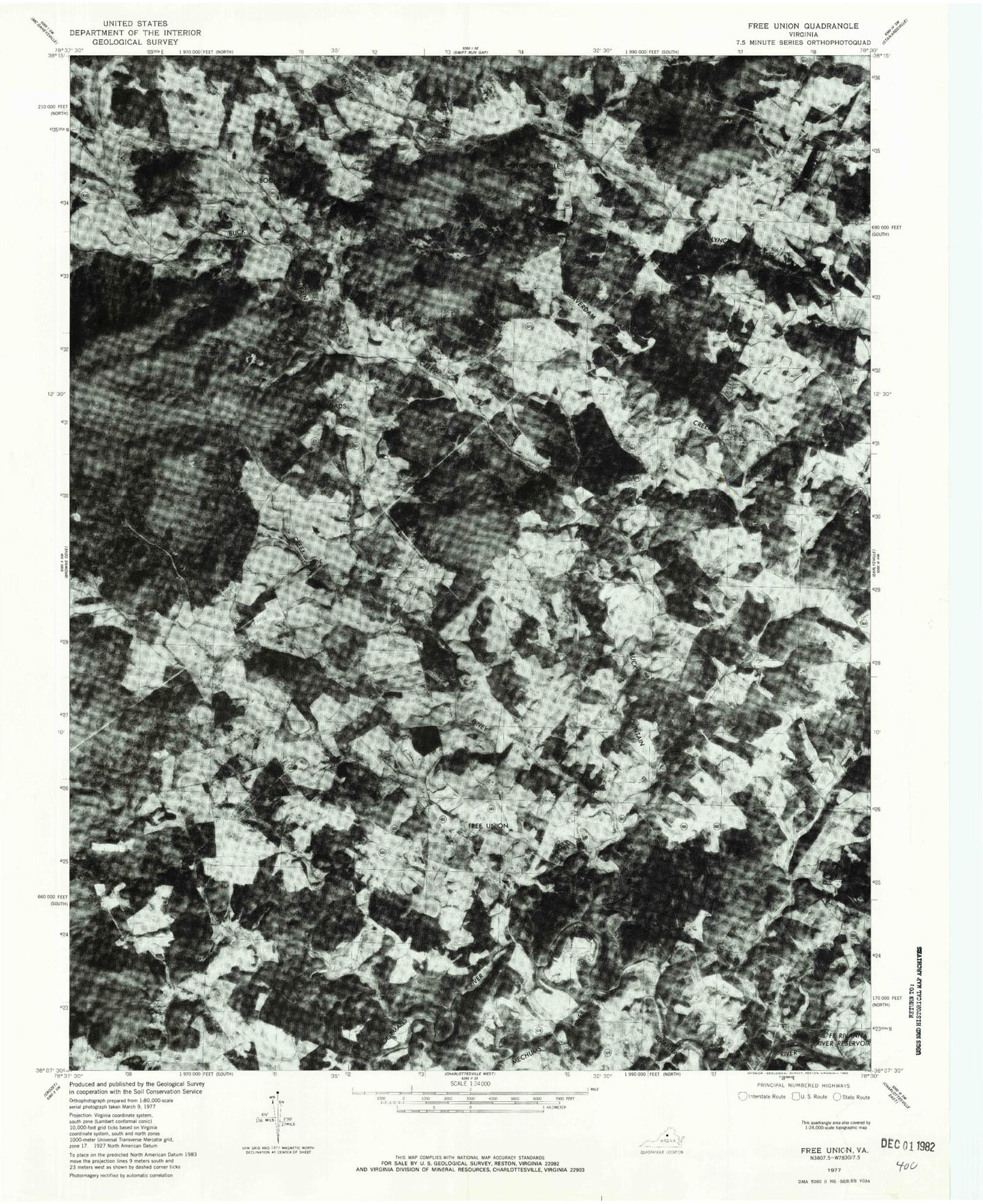
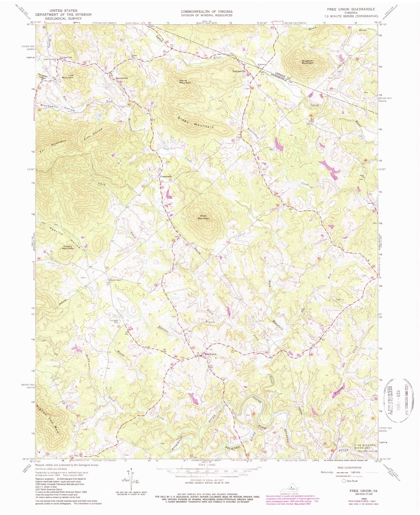
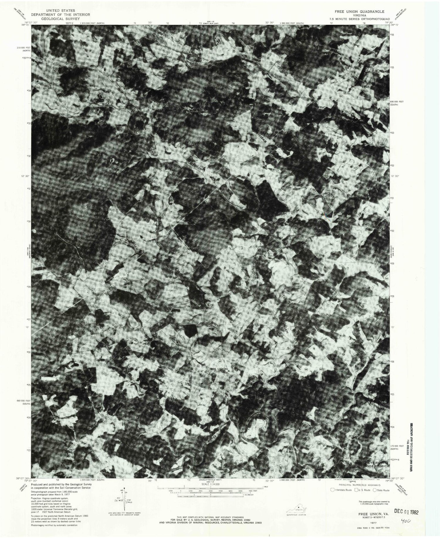
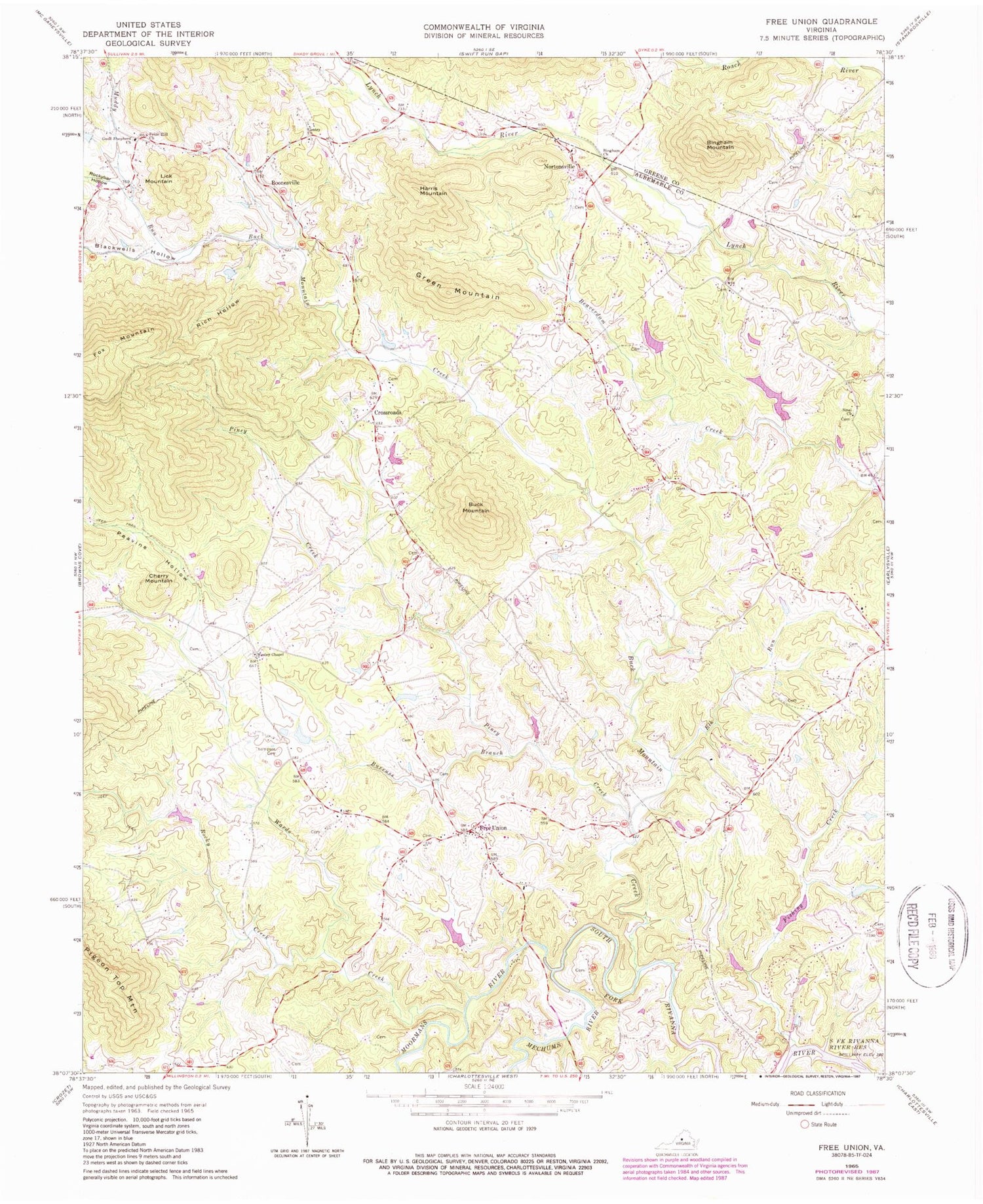
Classic USGS Free Union Virginia 7.5'x7.5' Topo Map
Couldn't load pickup availability
Historical USGS topographic quad map of Free Union in the state of Virginia. Typical map scale is 1:24,000, but may vary for certain years, if available. Print size: 24" x 27"
This quadrangle is in the following counties: Albemarle, Greene.
The map contains contour lines, roads, rivers, towns, and lakes. Printed on high-quality waterproof paper with UV fade-resistant inks, and shipped rolled.
Contains the following named places: Bingham Church, Bingham Mountain, Blackwells Hollow, Buck Mountain, Buck Mountain Creek, Burruss Branch, Cherry Mountain, Elk Run, Fishing Creek, Gentry Church, Lick Mountain, Moormans River, Muddy Run, Peavine Hollow, Piney Creek, Prize Hill Church, Rich Hollow, Rocky Creek, Rockybar Hollow, Sinai Church, Thompson Family Cemetery, Wards Creek, Wesley Chapel, Boonesville, Mechums River, Laughlins Dam, Laughlins Lake, Wilsdorf Dam, Wilsdorf Pond, Morris Dam, Morris Pond, Craig Dam, Craig Pond, Chisholm Dam Number One, Chisholm Lake Number One, Good Shepherd Church, Crossroads, Free Union, Green Mountain, Harris Mountain, Nortonsville, Blue Ridge View, Blueridge Forest, Brinnington, Burning Daylight Farm, Cedarmere, Crossroads Church (historical), Davis Shop, Fairgrove, Flint Hill School (historical), Free Union Baptist Church, Free Union Country School, Free Union Post Office, Free Union School (historical), Fry Hill Church (historical), Gentry United Methodist Church Cemetery, Gentry School (historical), Hickory Ridge, Kids Run Church (historical), Longwood, Mallard Lake, Patterson Store, Prize Hill Cemetery, Sinai Cemetery, Springwood, The Homestead, Wesley Cemetery, Wilhait, Windrift, Elliot Wood Church (historical), Montvale School (historical), Wilhoit School (historical), Early Grove School (historical), Free Union Census Designated Place, Lost Valley Tree Farm and Nursery


