MyTopo
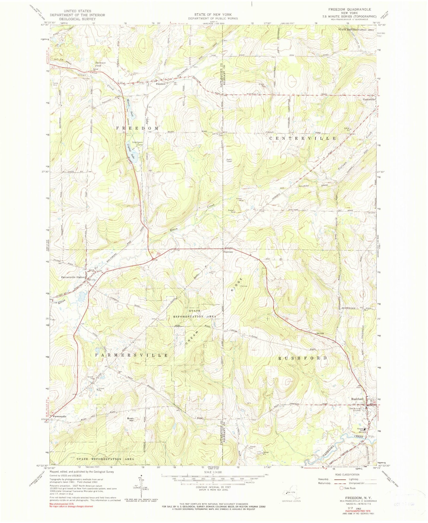
Classic USGS Freedom New York 7.5'x7.5' Topo Map
Couldn't load pickup availability
Historical USGS topographic quad map of Freedom in the state of New York. Typical map scale is 1:24,000, but may vary for certain years, if available. Print size: 24" x 27"
This quadrangle is in the following counties: Allegany, Cattaraugus.
The map contains contour lines, roads, rivers, towns, and lakes. Printed on high-quality waterproof paper with UV fade-resistant inks, and shipped rolled.
Contains the following named places: Burleson Pond, Bush Hill, Central School, County Line Cemetery, Cream Ridge, Crystal Lake, Farmersville Station, Freedom, Moores Pond, Old Burying Grounds, Rushford, Salem Church, Scouthaven Camp, Fairview, Town of Rushford, Centerville Cemetery, Rushford Cemetery, Salem Cemetery, Freedom Cemetery, Farmersville Cemetery, Rushford Elementary School, Farmersville Center Community Church, Freedom Mobile Home Park, Farmersville Station Post Office, Rushford Census Designated Place, Farmersville Volunteer Fire Department, Edelweiss Farms