MyTopo
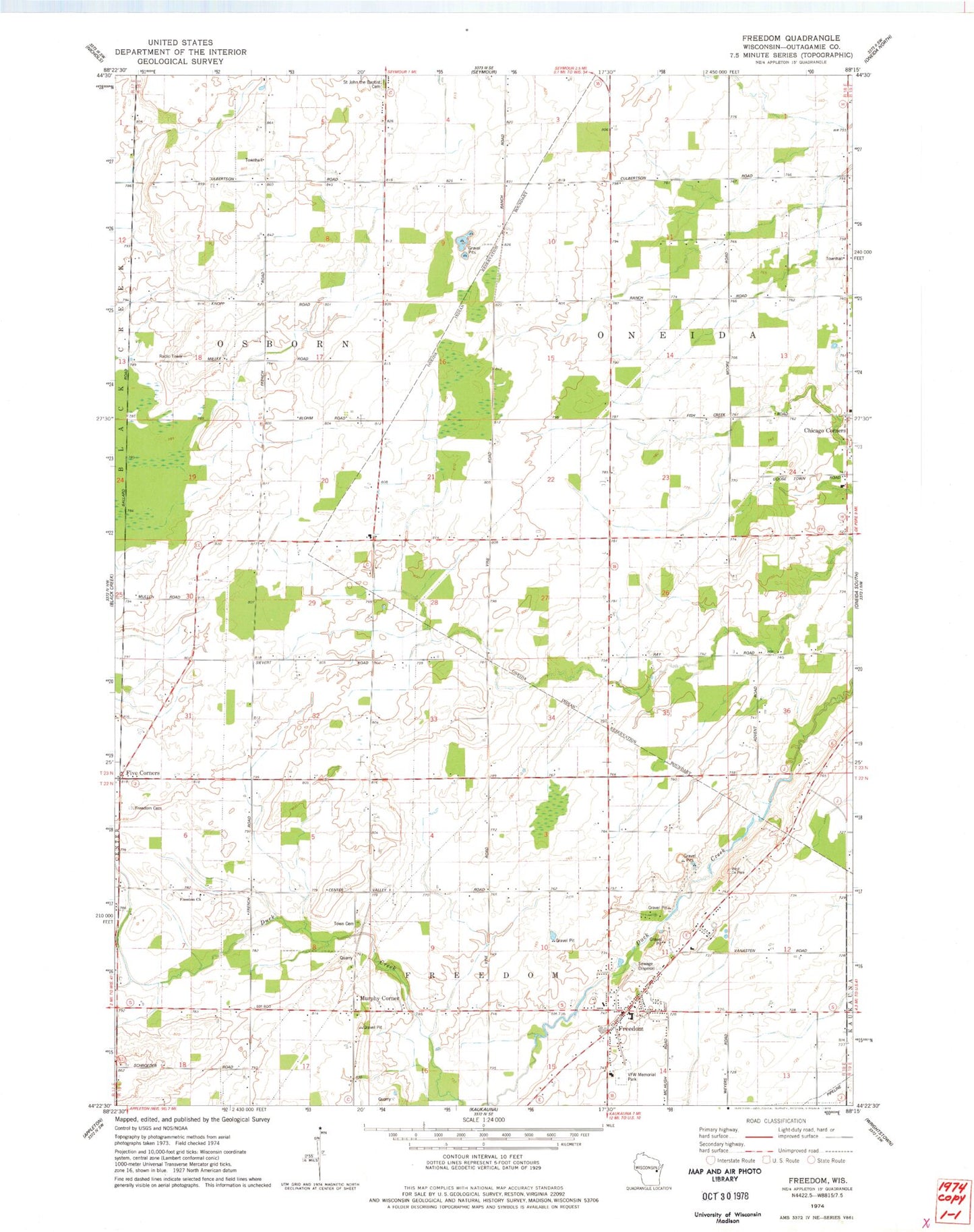
Classic USGS Freedom Wisconsin 7.5'x7.5' Topo Map
Couldn't load pickup availability
Historical USGS topographic quad map of Freedom in the state of Wisconsin. Map scale may vary for some years, but is generally around 1:24,000. Print size is approximately 24" x 27"
This quadrangle is in the following counties: Outagamie.
The map contains contour lines, roads, rivers, towns, and lakes. Printed on high-quality waterproof paper with UV fade-resistant inks, and shipped rolled.
Contains the following named places: Chicago Corners, Elm Hill School, Five Corners, Freedom, Freedom Cemetery, Freedom High School, Freedom Middle School, Freedom Police Department, Golden Rule School, Maple Grove School, Moravian Church of Freedom, Murphy Corner, North Osborn School, Oneida Township Volunteer Fire Department, Osborn Fire Department, Pioneer School, Saint John Catholic Cemetery, Saint Nicholas Catholic Church, Saint Nicholas Catholic School, Saint Nicholas Cemetery, Shuh Quarry, Town of Osborn, VFW Memorial Park, Woodside School