MyTopo
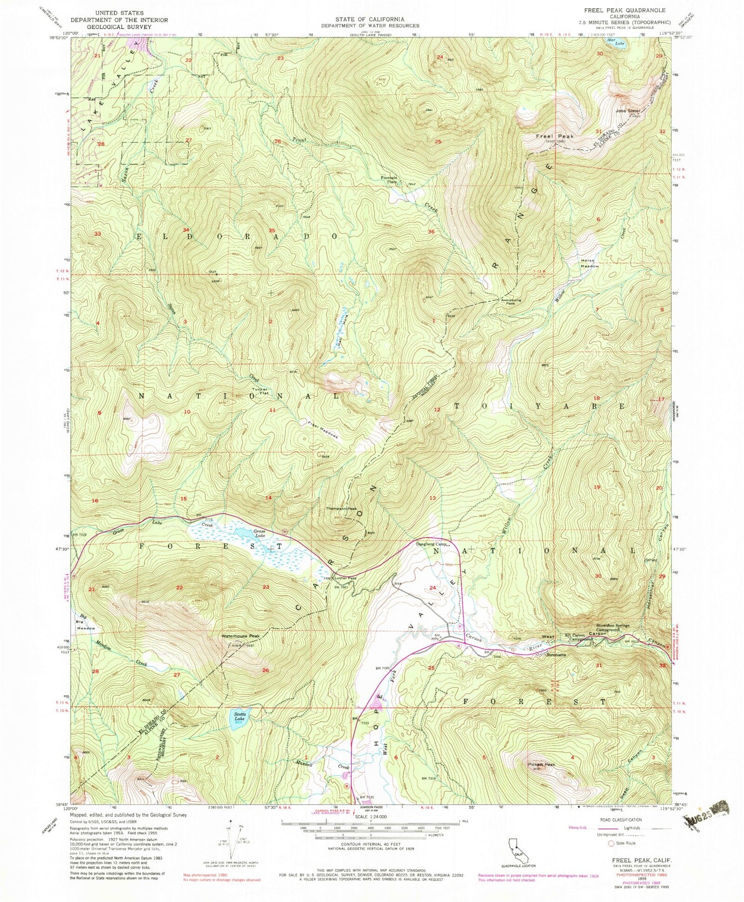
Classic USGS Freel Peak California 7.5'x7.5' Topo Map
Couldn't load pickup availability
Historical USGS topographic quad map of Freel Peak in the state of California. Typical map scale is 1:24,000, but may vary for certain years, if available. Print size: 24" x 27"
This quadrangle is in the following counties: Alpine, El Dorado.
The map contains contour lines, roads, rivers, towns, and lakes. Printed on high-quality waterproof paper with UV fade-resistant inks, and shipped rolled.
Contains the following named places: Hidden Canyon, Horsethief Canyon, Star Lake, Trimmer Peak, Armstrong Pass, Dangberg Camp, Free Meadows, Freel Peak, Grass Lake, Hell Hole, Hope Valley, Horse Meadow, Jobs Sister, Kit Carson Campground, Luther Pass, Maxwell Creek, Pickett Peak, Scotts Lake, Big Meadow, Snowshoe Springs Campground, Thompson Peak, Tucker Flat, Waterhouse Peak, Willow Creek, Fountain Place, Sorensens, Warr Cabin, Snowshoe Thompson Historical SIte, Hope Valley Resort, Scott Lake 511 Dam


