MyTopo
Classic USGS Freeman Junction California 7.5'x7.5' Topo Map
Regular price
$16.95
Regular price
Sale price
$16.95
Unit price
per
Couldn't load pickup availability
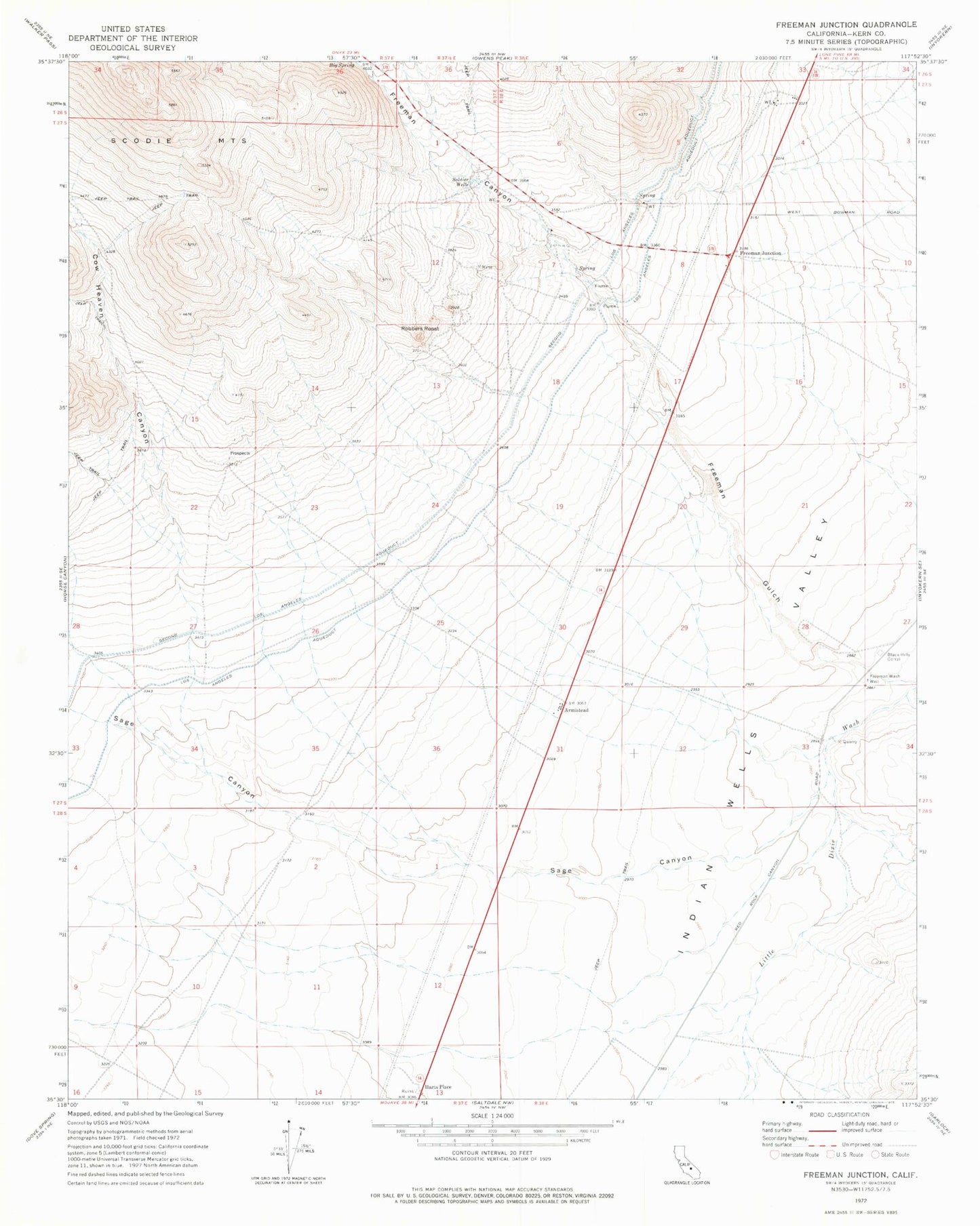
Historical USGS topographic quad map of Freeman Junction in the state of California. Map scale may vary for some years, but is generally around 1:24,000. Print size is approximately 24" x 27"
This quadrangle is in the following counties: Kern.
The map contains contour lines, roads, rivers, towns, and lakes. Printed on high-quality waterproof paper with UV fade-resistant inks, and shipped rolled.
Contains the following named places: Armistead, Big Spring, Black Hills Corral, Cow Heaven Canyon, Freeman Canyon, Freeman Gulch, Freeman Junction, Freeman Wash Well, Harts Place, Robbers Roost, Sage Canyon, Soldier Wells