MyTopo
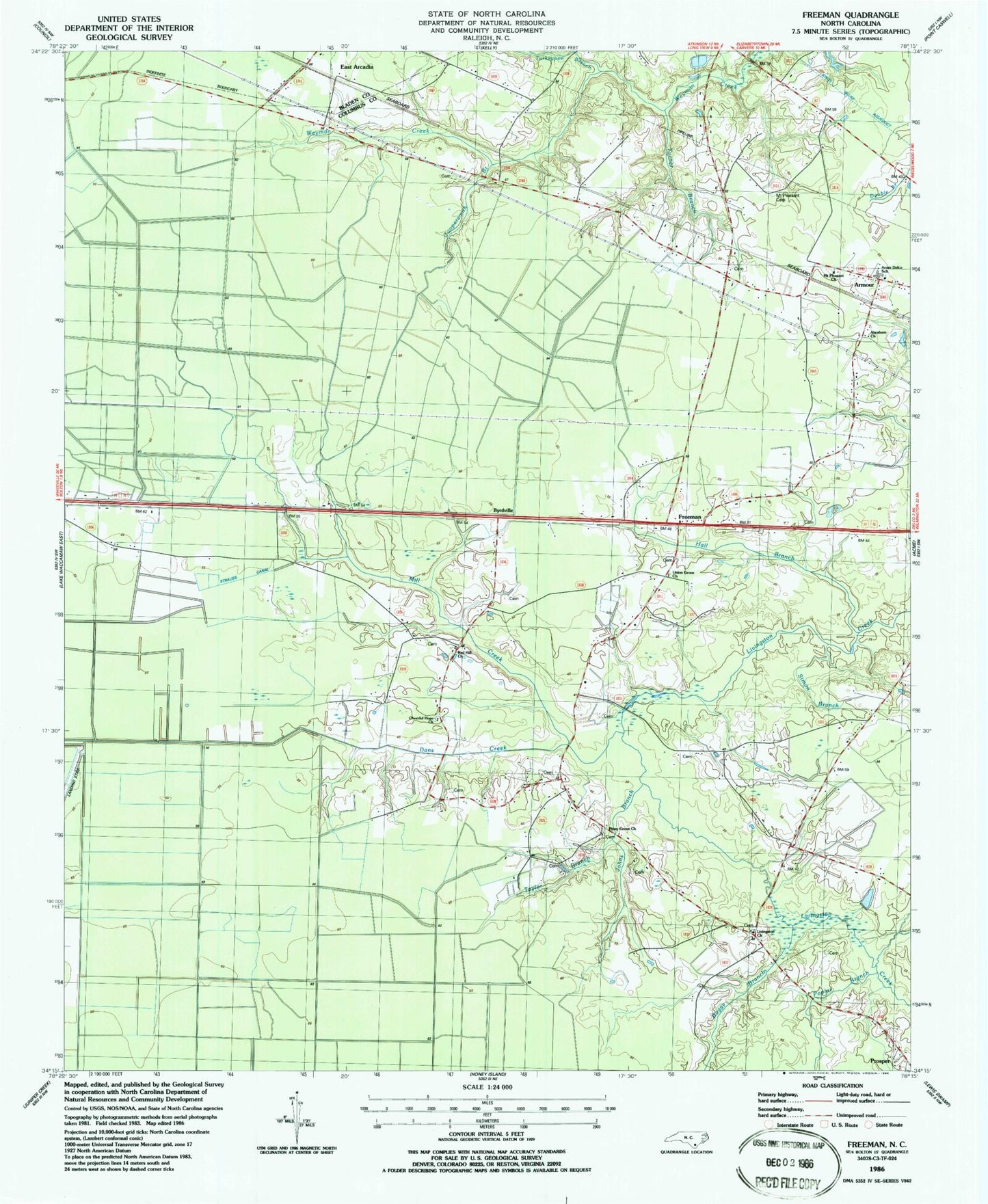
Classic USGS Freeman North Carolina 7.5'x7.5' Topo Map
Couldn't load pickup availability
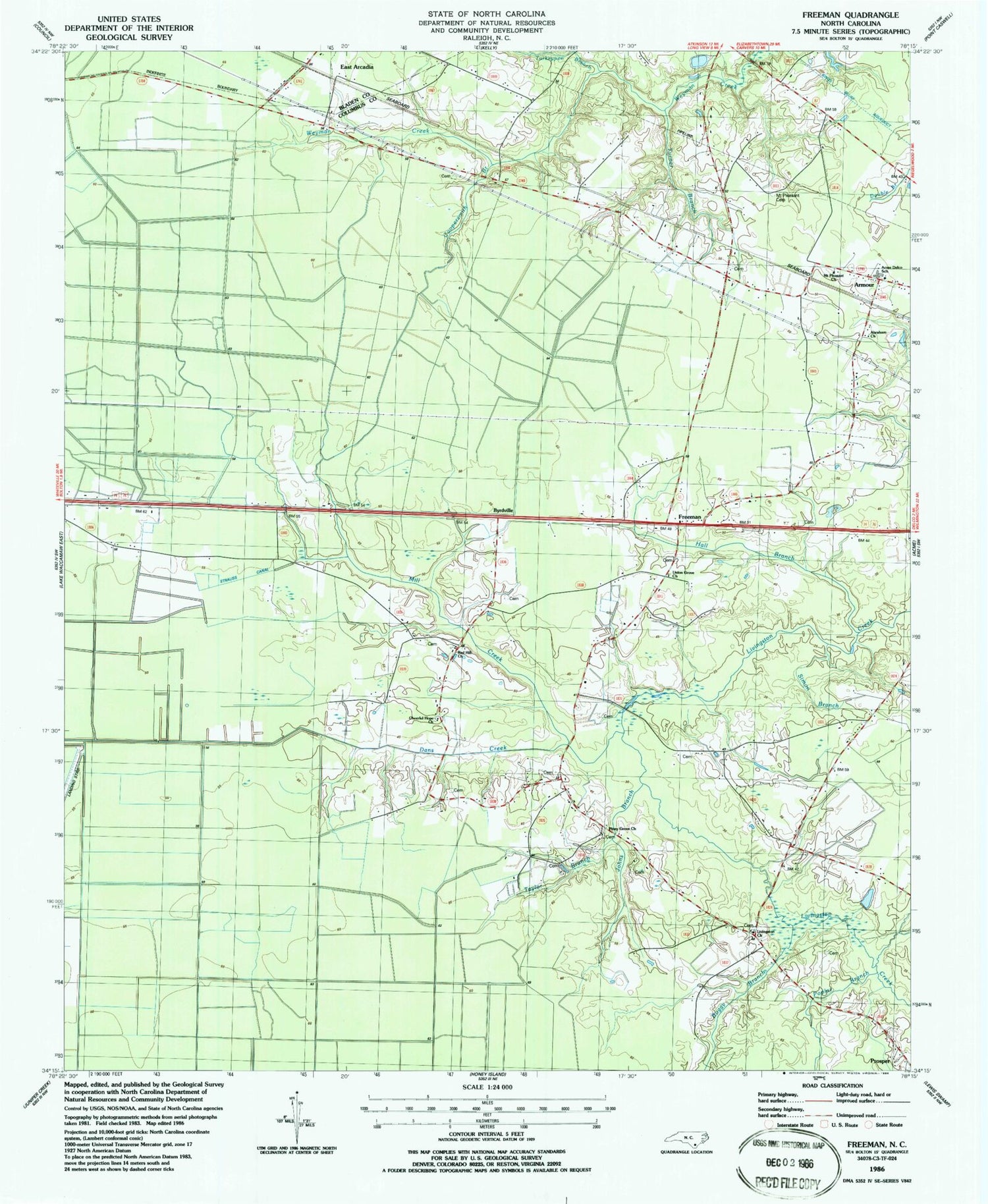
Historical USGS topographic quad map of Freeman in the state of North Carolina. Map scale may vary for some years, but is generally around 1:24,000. Print size is approximately 24" x 27"
This quadrangle is in the following counties: Bladen, Columbus.
The map contains contour lines, roads, rivers, towns, and lakes. Printed on high-quality waterproof paper with UV fade-resistant inks, and shipped rolled.
Contains the following named places: Abraham Church, Acme Delco Elementary School, Armour, Big Bay, Bitch Bay, Black Bay, Boggy Branch, Broadwater Lake, Buzzard Bay, Byrdville, Cheerful Hope Church, Coopersmith Branch, Dans Creek, Freeman, Hall Branch, Johns Branch, Lateral Canal E, Lateral Canal F, Lateral Canal G, Lennon Cemetery, Livingston Church, Malpass Cemetery, McClennen Branch, Mill Creek, Mount Pleasant Cemetery, Mount Pleasant Church, Piney Grove Church, Poplar Branch, Prosper, Red Hill Church, Scott Branch, Simon Branch, Strauss Canal, Strauss Swamp, Taylor Branch, Terrapin Branch, Town of Sandyfield, Township of Ransom, Turkeypen Branch, Turner Branch, Union Grove Church, ZIP Codes: 28436, 28456


