MyTopo
Classic USGS Freezeout Mountain Arizona 7.5'x7.5' Topo Map
Regular price
$16.95
Regular price
Sale price
$16.95
Unit price
per
Couldn't load pickup availability
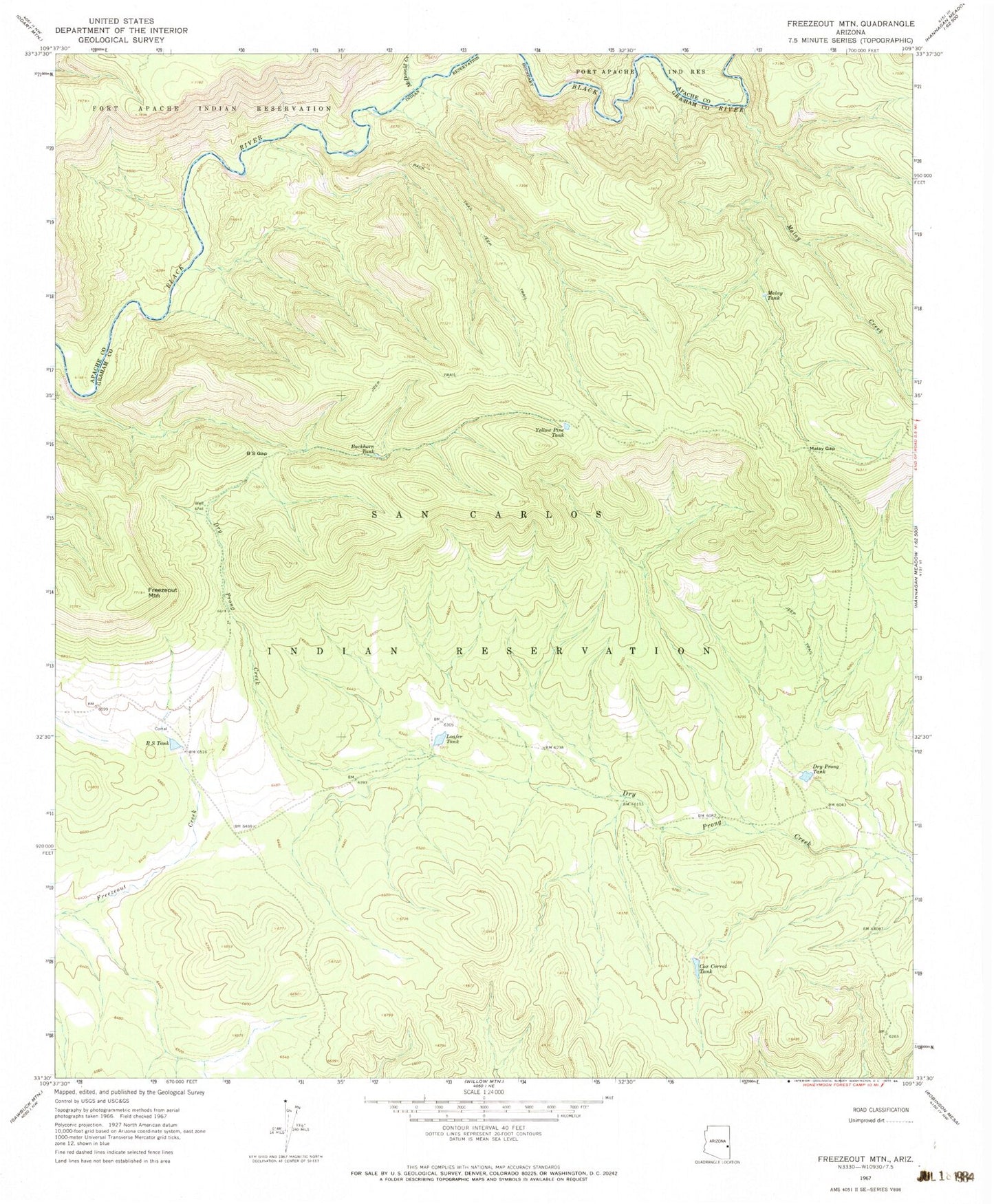
Historical USGS topographic quad map of Freezeout Mountain in the state of Arizona. Typical map scale is 1:24,000, but may vary for certain years, if available. Print size: 24" x 27"
This quadrangle is in the following counties: Apache, Graham.
The map contains contour lines, roads, rivers, towns, and lakes. Printed on high-quality waterproof paper with UV fade-resistant inks, and shipped rolled.
Contains the following named places: BS Gap, BS Tank, Buckhorn Tank, Cox Corral Tank, Dry Prong Tank, Freezeout Mountain, Loafer Tank, Malay Gap, Malay Tank, McDonald Creek, Yellow Pine Tank, Dry Prong Dam, Loafer Dam, Arkie Canyon, Helen Canyon, Little Bear Canyon, Rose Creek, Malay Creek