MyTopo
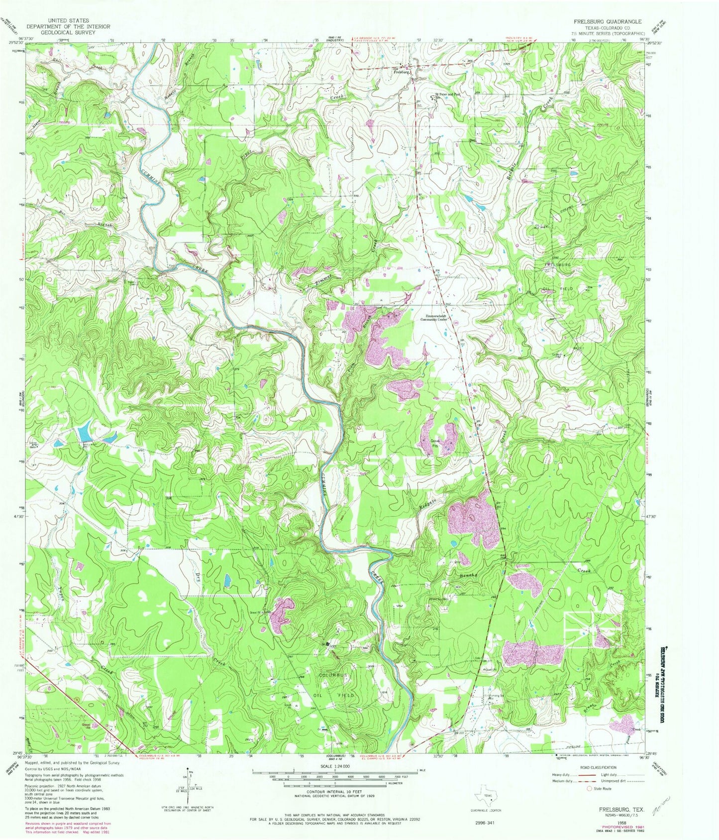
Classic USGS Frelsburg Texas 7.5'x7.5' Topo Map
Couldn't load pickup availability
Historical USGS topographic quad map of Frelsburg in the state of Texas. Map scale may vary for some years, but is generally around 1:24,000. Print size is approximately 24" x 27"
This quadrangle is in the following counties: Colorado.
The map contains contour lines, roads, rivers, towns, and lakes. Printed on high-quality waterproof paper with UV fade-resistant inks, and shipped rolled.
Contains the following named places: Balch Springs Public Library, Bee Branch, Brushy Creek, Bull Creek, Circle M Ranch Airport, Columbus Division, Cullen Lake, Cullen Lake Dam, Frelsburg, Frelsburg Oil Field, Frelsburg Volunteer Fire Department, Gabriel Long Branch, Hobson Branch, Kleberg - Rylie Branch Library, Piper Creek, Plum Branch, Redgate Creek, Saint Peter and Paul School, Stein Branch, Zimmer Creek, Zimmerscheidt Community Center, Zimmerscheidt-Leyendecker House