MyTopo
Classic USGS French Butte Arizona 7.5'x7.5' Topo Map
Regular price
$16.95
Regular price
Sale price
$16.95
Unit price
per
Couldn't load pickup availability
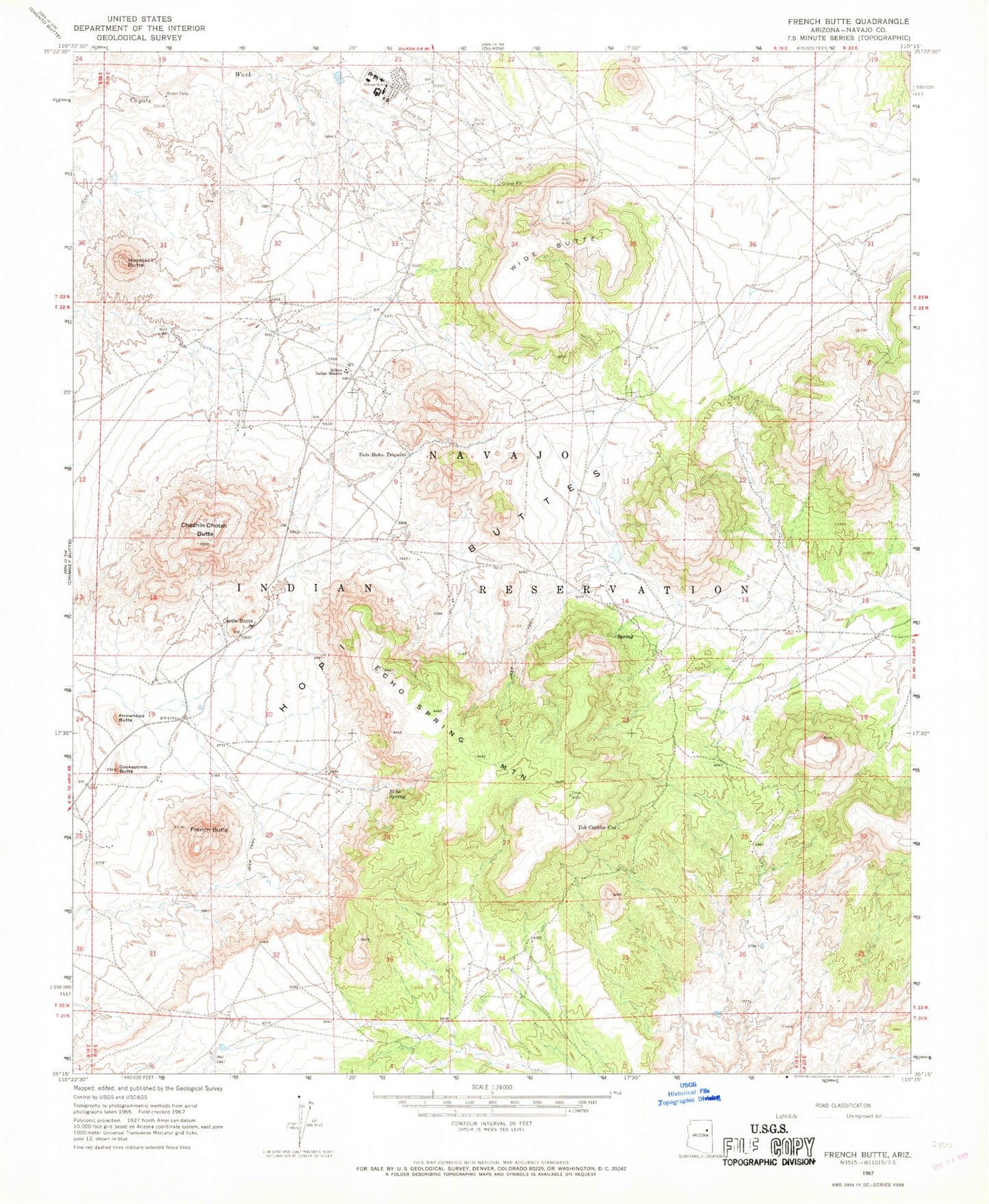
Historical USGS topographic quad map of French Butte in the state of Arizona. Map scale may vary for some years, but is generally around 1:24,000. Print size is approximately 24" x 27"
This quadrangle is in the following counties: Navajo.
The map contains contour lines, roads, rivers, towns, and lakes. Printed on high-quality waterproof paper with UV fade-resistant inks, and shipped rolled.
Contains the following named places: Arrowhead Butte, Castle Butte, Chezhin Chotah Butte, Cockscomb Butte, Dilcon Community School, Dilkon Census Designated Place, Dilkon Indian Mission School, Echo Spring, Echo Spring Mountain, French Butte, Haystack Butte, Tode Baho Tsiquini, Toh Cathlie Cod, Wide Butte