MyTopo
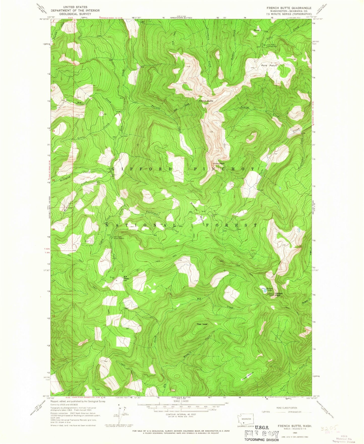
Classic USGS French Butte Washington 7.5'x7.5' Topo Map
Couldn't load pickup availability
Historical USGS topographic quad map of French Butte in the state of Washington. Map scale may vary for some years, but is generally around 1:24,000. Print size is approximately 24" x 27"
This quadrangle is in the following counties: Skamania.
The map contains contour lines, roads, rivers, towns, and lakes. Printed on high-quality waterproof paper with UV fade-resistant inks, and shipped rolled.
Contains the following named places: Badger Lake, Badger Peak, Badger Peak Lookout, Big Creek, Cabin Creek, Cato Creek, Elk Pass, Ferrous Creek, Ferrous Point, Ferrous Point Lookout, French Butte, Hemlock Creek, Hungry Creek, Iron Creek Guard Station, Kirk Rock, Little Creek, Mosquito Meadows, Pinto Rock, Pole Patch, Pole Patch Campground, Pumice Creek, Snyder Pasture, Stepladder Creek, The Loaf, Twelvemile Creek, Wakepish Creek