MyTopo
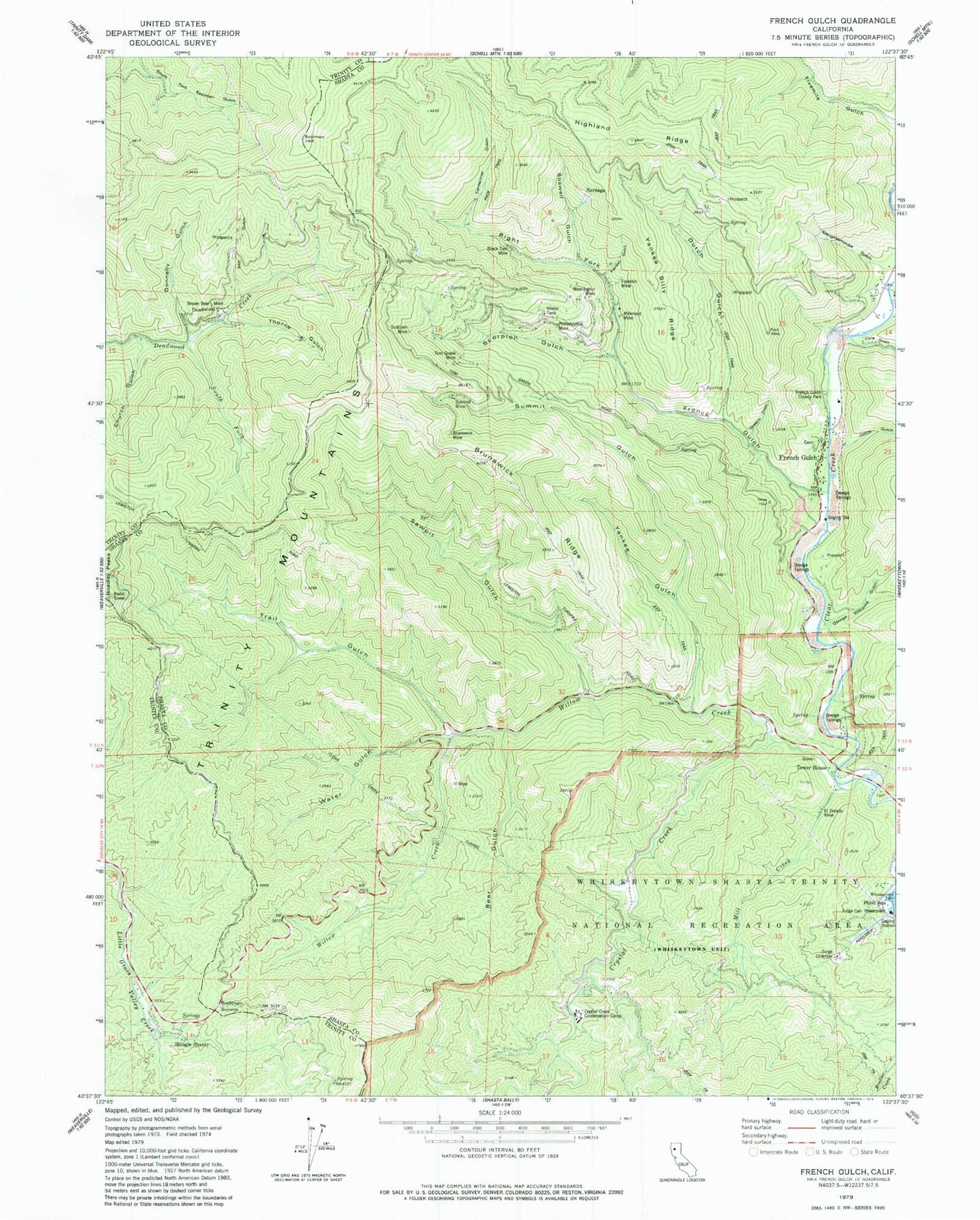
Classic USGS French Gulch California 7.5'x7.5' Topo Map
Couldn't load pickup availability
Historical USGS topographic quad map of French Gulch in the state of California. Map scale may vary for some years, but is generally around 1:24,000. Print size is approximately 24" x 27"
This quadrangle is in the following counties: Shasta, Trinity.
The map contains contour lines, roads, rivers, towns, and lakes. Printed on high-quality waterproof paper with UV fade-resistant inks, and shipped rolled.
Contains the following named places: Bear Gulch, Black Tom Mine, Boswell Gulch, Brown Bear Mine, Brunswick Mine, Brunswick Ridge, Buckhorn Summit, Centennial Gulch, Church Gulch, Clear Creek Tunnel, Cline Gulch, Crystal Creek, Crystal Creek Conservation Camp, Crystal Creek Falls, Deadwood, Donnelly Gulch, Dutch Gulch, El Dorado Mine, Fivemile Gulch, Franklin Gulch, Franklin Mine, French Gulch, French Gulch - Whiskeytown Elementary School, French Gulch Cemetery, French Gulch Census Designated Place, French Gulch County Park, French Gulch Historic District, French Gulch Post Office, French Gulch Volunteer Fire Company, George Williams Gulch, Johns Gulch, Judge Carr Powerplant, Milkmaid Mine, Mill Creek, Mill Gulch, Niagara Mine, Niagara Summit Mine, Philladelphia Mine, Queens Draw, Right Fork French Gulch, Sawpit Gulch, Scorpion Gulch, Scorpion Mine, Shingle Shanty, Slaughterhouse Gulch, South Fork Deadwood Creek, State Gulch, Summit Gulch, Summit Mine, Thorne Gulch, Tom Green Mine, Tower House, Trail Gulch, Washington Mine, Water Gulch, Whiskeytown Falls, Willow Creek, Yankee Billy Ridge, Yankee Gulch