MyTopo
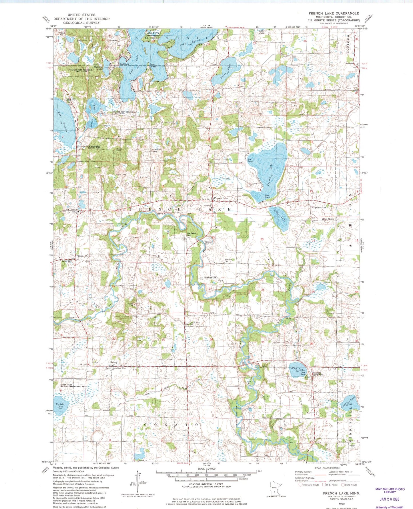
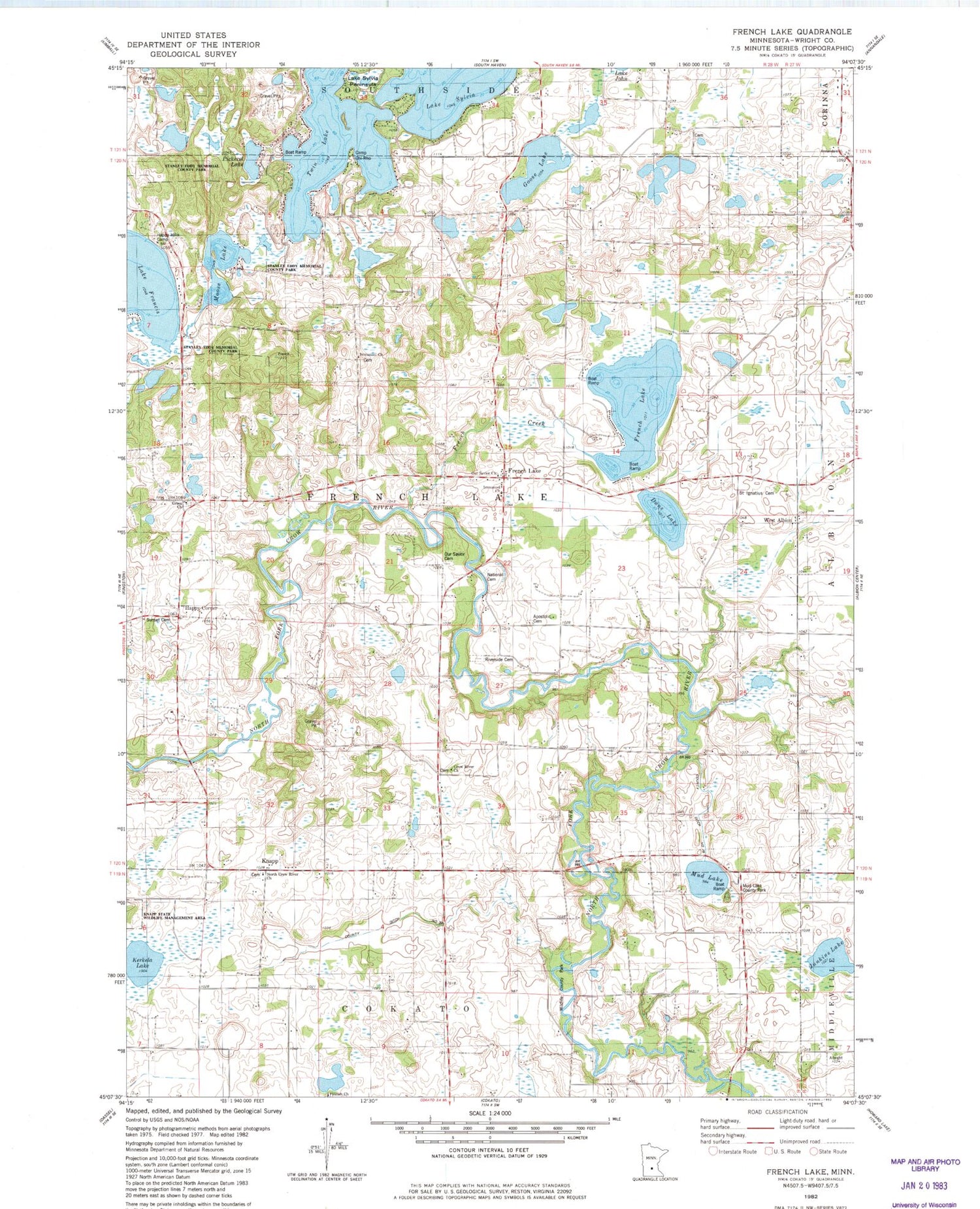
Classic USGS French Lake Minnesota 7.5'x7.5' Topo Map
Couldn't load pickup availability
Historical USGS topographic quad map of French Lake in the state of Minnesota. Typical map scale is 1:24,000, but may vary for certain years, if available. Print size: 24" x 27"
This quadrangle is in the following counties: Wright.
The map contains contour lines, roads, rivers, towns, and lakes. Printed on high-quality waterproof paper with UV fade-resistant inks, and shipped rolled.
Contains the following named places: Birch Lake School, Crow River Church, Dans Lake, French Creek, French Lake, French Lake, French Lake Church, Goose Lake, Grace Church, Gunnary School, Happy Corner School, Henry Lake, Junkins Lake, Knapp, Knapp School, Lake Francis School, Lee School, Moose Lake, National Cemetery, Norwegian Church, Our Savior Cemetery, Riverside Cemetery, Saint Ignatius Cemetery, Mud Lake, West Albion, Township of French Lake, Fairhaven Dam, Marie Lake, County Ditch Number Eighteen, County Ditch Number Thirty, Happy Hills Camp, Mud Lake County Park, Wildlife County Park, Kerkela Lake, North Crow River Church, Apostolic Cemetery, Happy Corner, Sunset Cemetery, Immanuel Church, Our Savior Church, Immanuel Church, Pickerel Lake, Lake Sylvia Peninsula, Stanley Eddy Memorial County Park, Grace Cemetery, Crow River Cemetery, Immanuel Cemetery, Knapp Post Office (historical), French Lake Post Office (historical)


