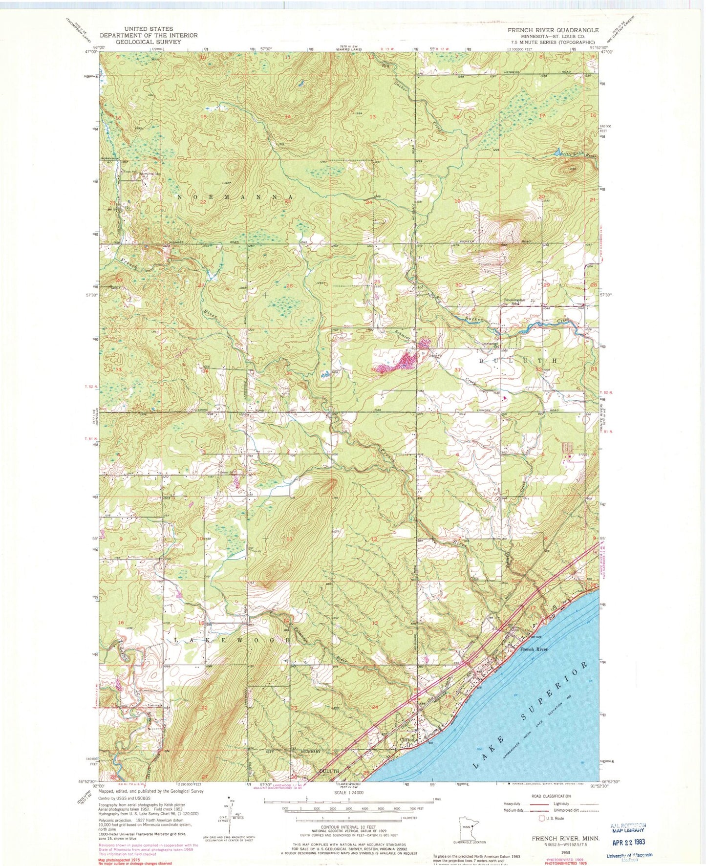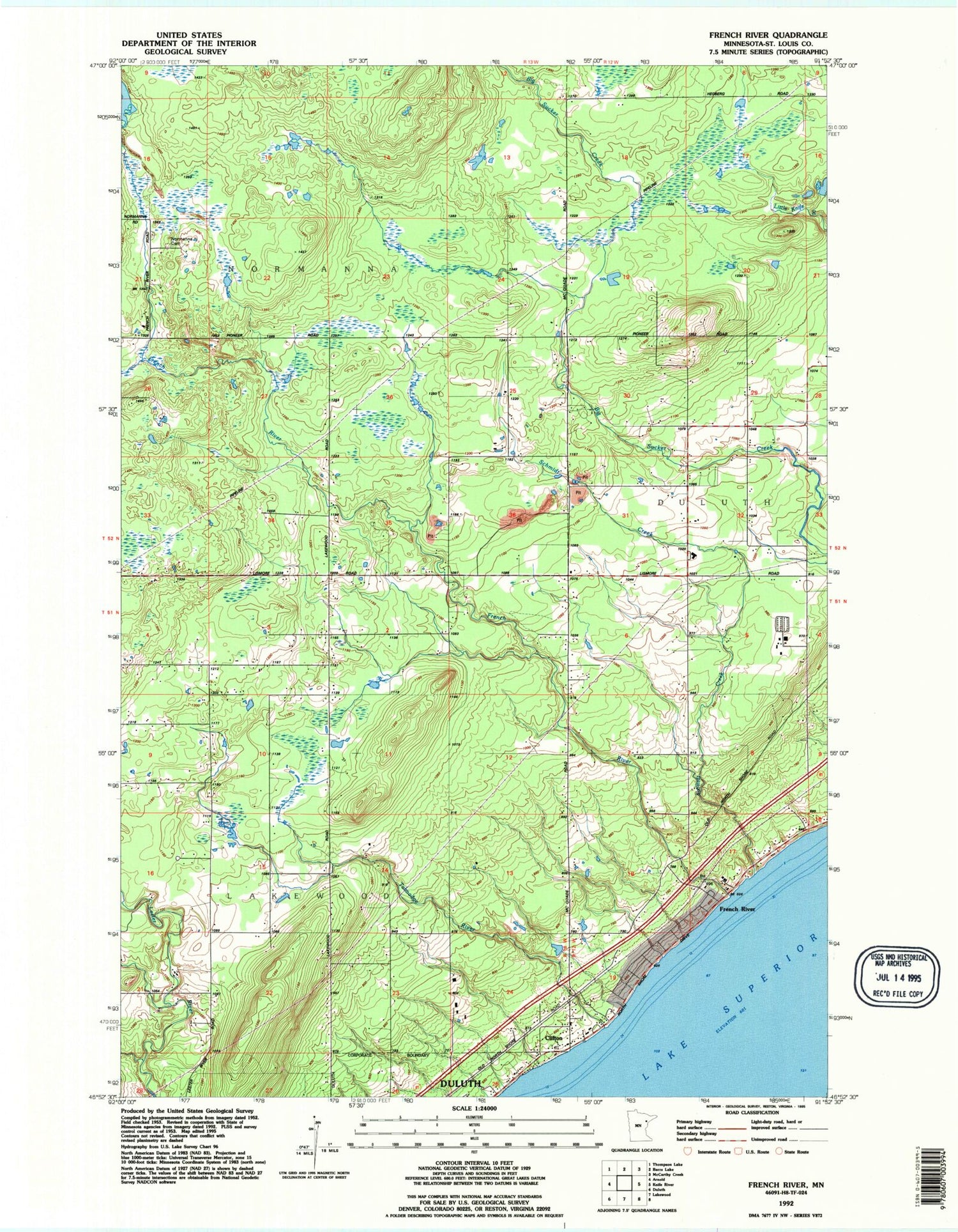

MyTopo
Classic USGS French River Minnesota 7.5'x7.5' Topo Map
Couldn't load pickup availability
Historical USGS topographic quad map of French River in the state of Minnesota. Map scale may vary for some years, but is generally around 1:24,000. Print size is approximately 24" x 27"
This quadrangle is in the following counties: St. Louis.
The map contains contour lines, roads, rivers, towns, and lakes. Printed on high-quality waterproof paper with UV fade-resistant inks, and shipped rolled.
Contains the following named places: Bloomingdale School, Chez Dam, Clifton, Clifton Post Office, Clifton Station, Clifton Volunteer Fire Department Station 1, Clifton-French River Historical Marker, French River, French River Post Office, French River Station, French River Wayside Park, Immanuel Church, Lakewood Township Fire Department Station 2, Normanna Cemetery, Normanna Fire Department, Normanna Volunteer Fire Department Fire Hall 2, Schmidt Creek, Talmadge River, Township of Lakewood, Township of Normanna, ZIP Code: 55804