MyTopo
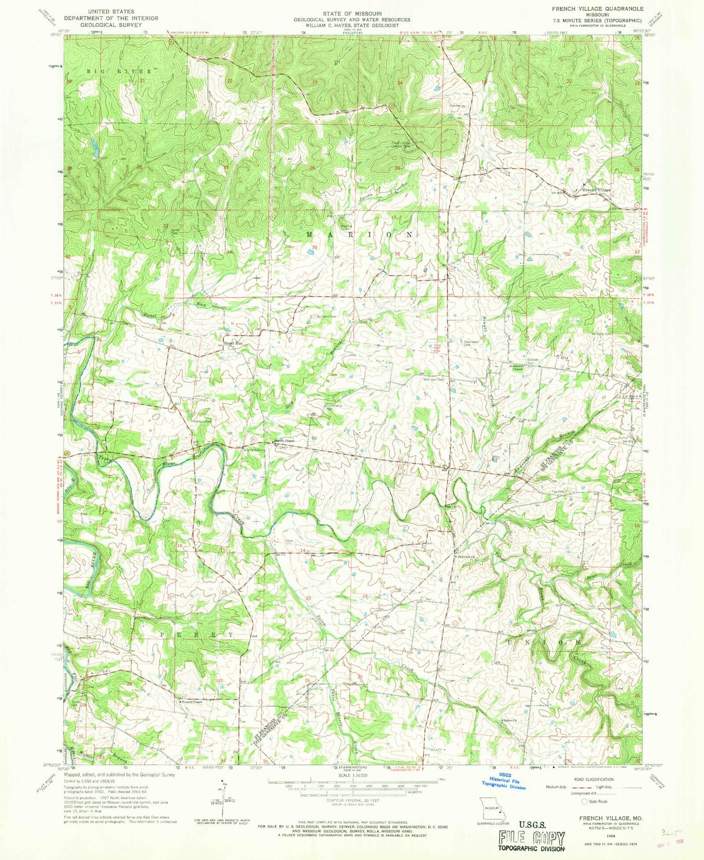
Classic USGS French Village Missouri 7.5'x7.5' Topo Map
Couldn't load pickup availability
Historical USGS topographic quad map of French Village in the state of Missouri. Map scale may vary for some years, but is generally around 1:24,000. Print size is approximately 24" x 27"
This quadrangle is in the following counties: St. Francois, Ste. Genevieve.
The map contains contour lines, roads, rivers, towns, and lakes. Printed on high-quality waterproof paper with UV fade-resistant inks, and shipped rolled.
Contains the following named places: Andrews Branch, Ashburn Cemetery, Aulsbury Chapel, Bear Creek, Big River Fire Protection District Station 2, Bouyer Creek, Byington Cemetery, Cedar Falls Branch, Cedar Falls School, Cedar Run, Cruncleton Cemetery, De Grant Cemetery, Dry Branch, Fairview Church, Flat River, French Village, French Village Lookout Tower, French Village School, Hall Cemetery, Hazel Run, Herod Cemetery, Jacobs Creek, Jaydee, Jennings School, Kerlagon Cemetery, Lambeth School, Marvin Chapel, McCreary Cemetery, Mostiller Cemetery, Mostiller School, Patterson School, Perret Cemetery, Pigg Cemetery, Pike Run Hills, Potosi Lead Diggings, Russell Chapel, Saint Anne Cemetery, Saint Annes Catholic Church, Salem Church, Salem Creek, Salem Methodist Cemetery, Salem School, Scott School, Sporich Lake Dam, Sullivan Lake Dam, Three Rivers Creek, Thurman, Township of Marion, Turley School, Walker Branch, Wells Lake, Wells Lake Dam


