
MyTopo
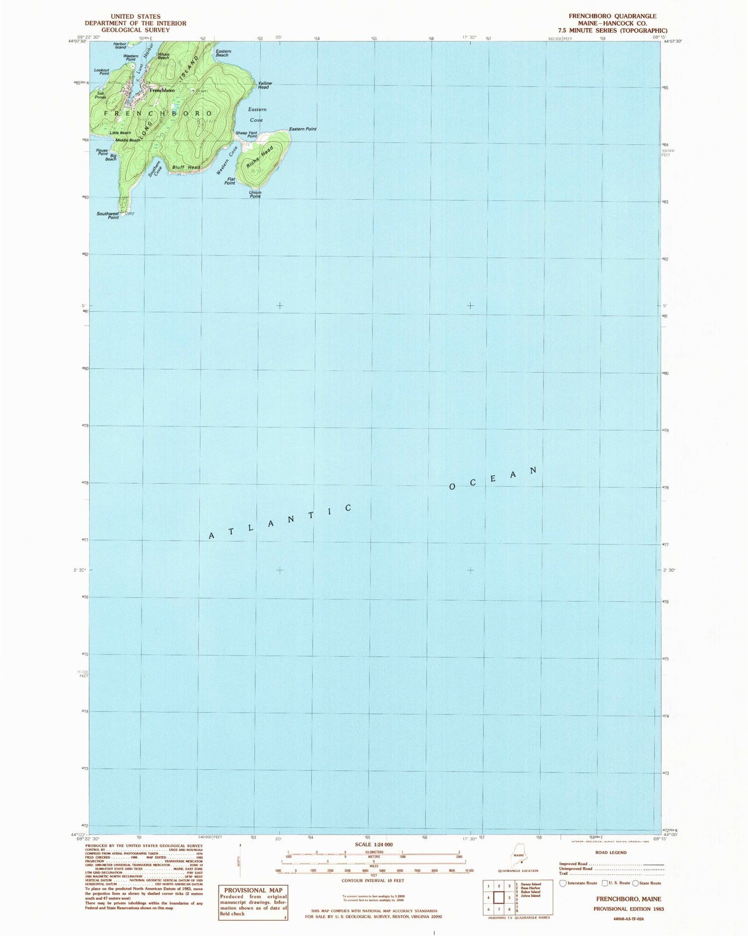
Classic USGS Frenchboro Maine 7.5'x7.5' Topo Map
Couldn't load pickup availability
Historical USGS topographic quad map of Frenchboro in the state of Maine. Map scale may vary for some years, but is generally around 1:24,000. Print size is approximately 24" x 27"
This quadrangle is in the following counties: Hancock.
The map contains contour lines, roads, rivers, towns, and lakes. Printed on high-quality waterproof paper with UV fade-resistant inks, and shipped rolled.
Contains the following named places: Big Beach, Bluff Head, Eastern Beach, Eastern Cove, Eastern Point, Flat Point, Frenchboro, Frenchboro Elementary School, Frenchboro Public Library, Frenchboro Volunteer Fire Department, House Point, Little Beach, Long Island, Lookout Point, Lunt Harbor, Middle Beach, Richs Head, Salt Ponds, Sheep Yard Point, Southern Cove, Southwest Point, Union Point, Western Cove, Western Point, Whale Beach, Yellow Head


