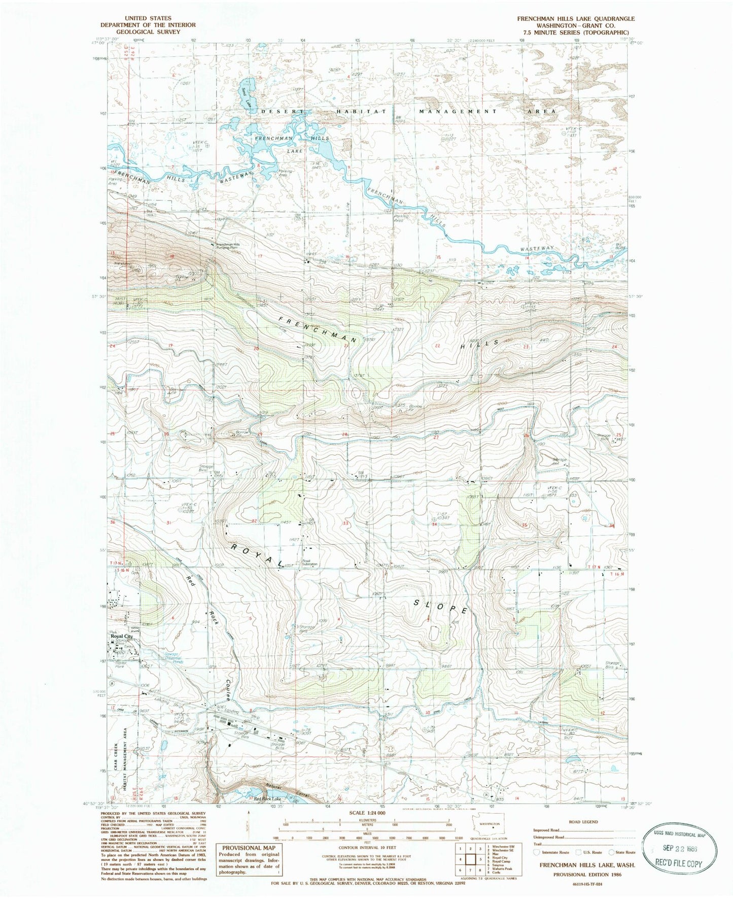
MyTopo
Classic USGS Frenchman Hills Lake Washington 7.5'x7.5' Topo Map
Regular price
$16.95
Regular price
Sale price
$16.95
Unit price
per
Couldn't load pickup availability
Historical USGS topographic quad map of Frenchman Hills Lake in the state of Washington. Map scale may vary for some years, but is generally around 1:24,000. Print size is approximately 24" x 27"
This quadrangle is in the following counties: Grant.
The map contains contour lines, roads, rivers, towns, and lakes. Printed on high-quality waterproof paper with UV fade-resistant inks, and shipped rolled.
Contains the following named places: Christensen Field, City of Royal City, Desert Habitat Management Area, Frenchman Hills Lake, Frenchman Hills Pumping Plant, Grant County Fire District 10, Natural Corral, Red Rock Elementary School, Royal City Police Department, Royal Substation, Sand Lake