MyTopo
Classic USGS Frenchville Pennsylvania 7.5'x7.5' Topo Map
Couldn't load pickup availability
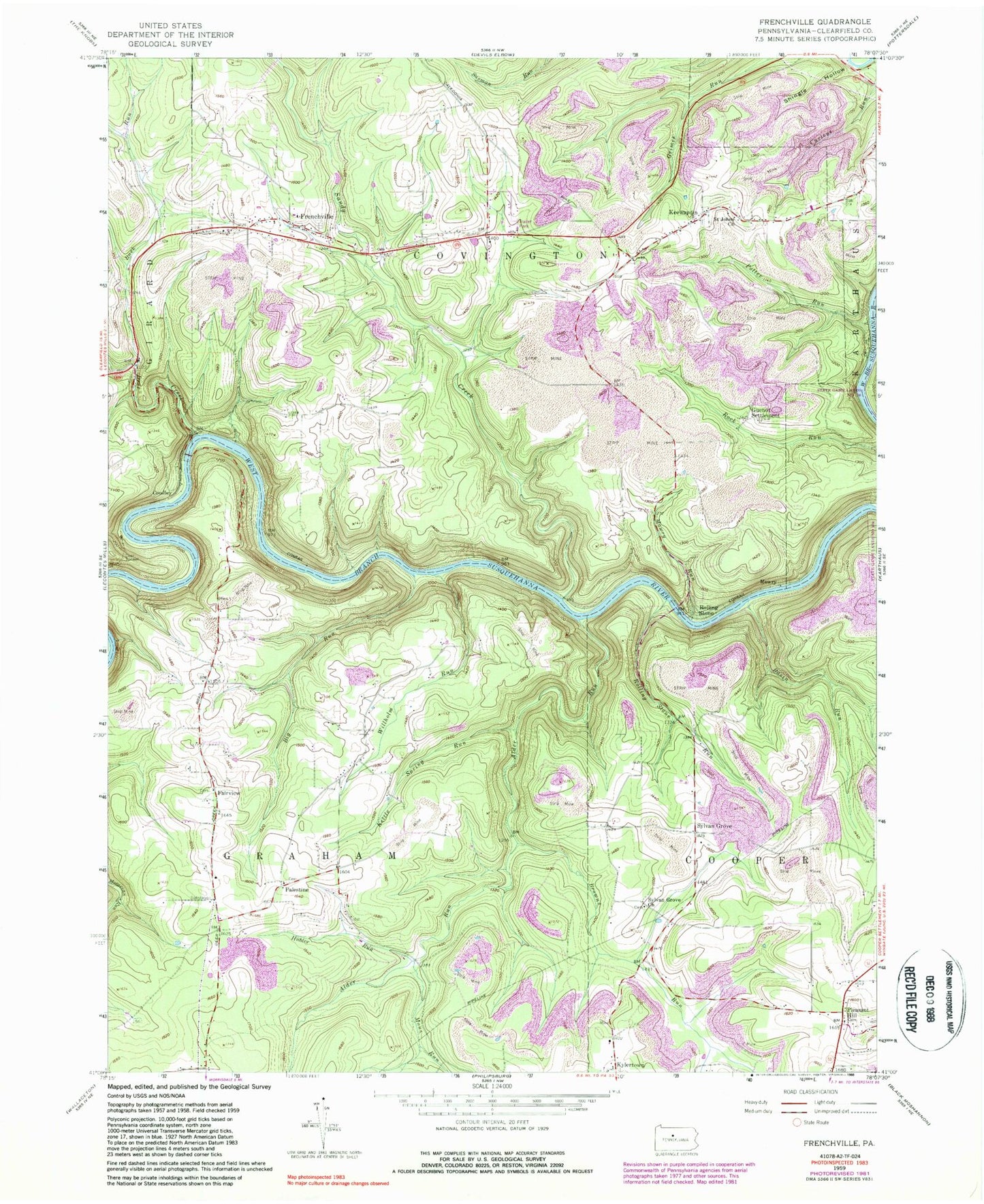
Historical USGS topographic quad map of Frenchville in the state of Pennsylvania. Typical map scale is 1:24,000, but may vary for certain years, if available. Print size: 24" x 27"
This quadrangle is in the following counties: Clearfield.
The map contains contour lines, roads, rivers, towns, and lakes. Printed on high-quality waterproof paper with UV fade-resistant inks, and shipped rolled.
Contains the following named places: Alder Run, Basin Run, Buck Run, Deer Creek, Deer Tunnel, Frenchville, Hubler Run, Keewaydin, Kettle Spring Run, Mons Run, Mowry Run, Pleasant Hill, Potter Run, Rolling Stone Run, Saint Johns Church, Sandy Creek, Shingle Hollow, Sylvan Grove Church, Willholm Run, Browns Run, Big Run, Central Point, Coudley, Fairview, Guenot Settlement, Mowry, Palestine, Rolling Stone, Sylvan Grove, Buck Run School (historical), Frenchville Station (historical), Mignot School, Mulsonburg School, Mount Pleasant School (historical), Fairmont School (historical), Sylvan Grove School, Pleasant Hill School (historical), Fairview School, Palestine School (historical), Fairview Church, Palestine Church, Frenchville Station, River Hill Mine Station, Aurora Mine Station, Township of Graham, Folmar Airport, Frenchville Post Office, Fairview United Methodist Cemetery, Palestine Cemetery, Keewaydin Cemetery, Saint Mary of the Assumption Cemetery, Sylvan Grove Cemetery, Pleasant Hill United Methodist Church Cemetery


