MyTopo
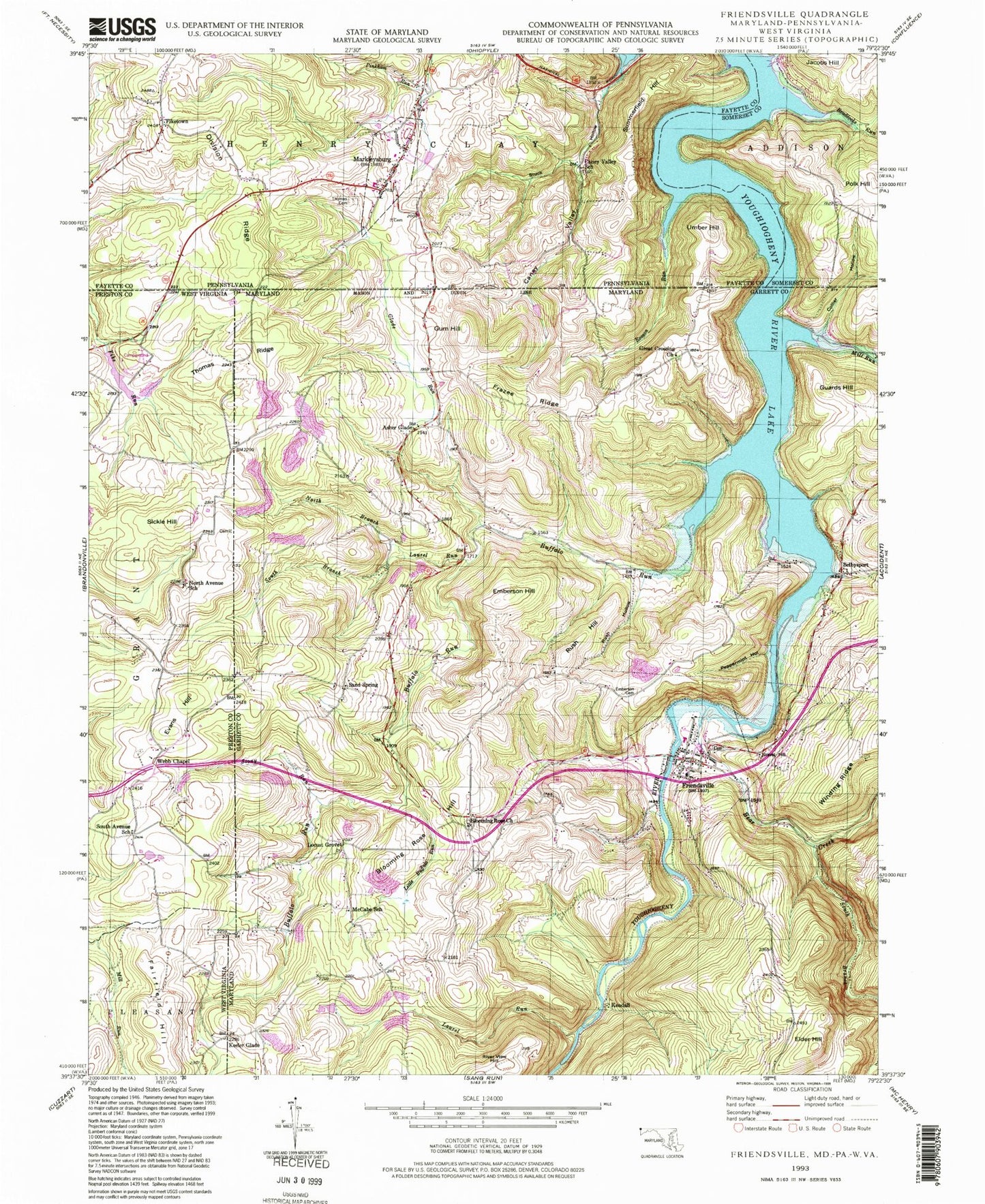
Classic USGS Friendsville Maryland 7.5'x7.5' Topo Map
Couldn't load pickup availability
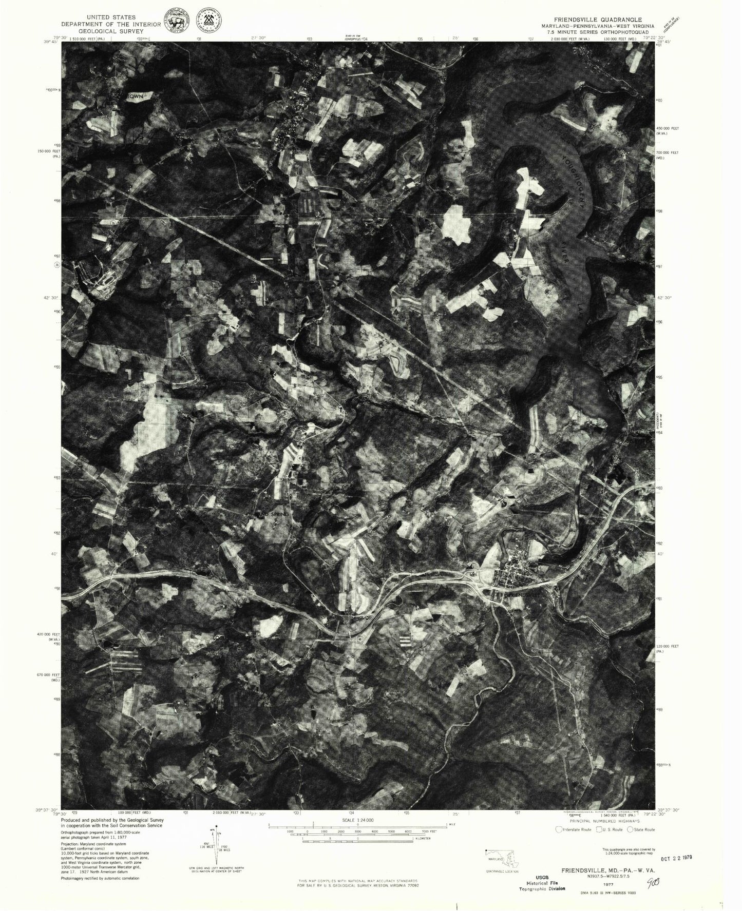
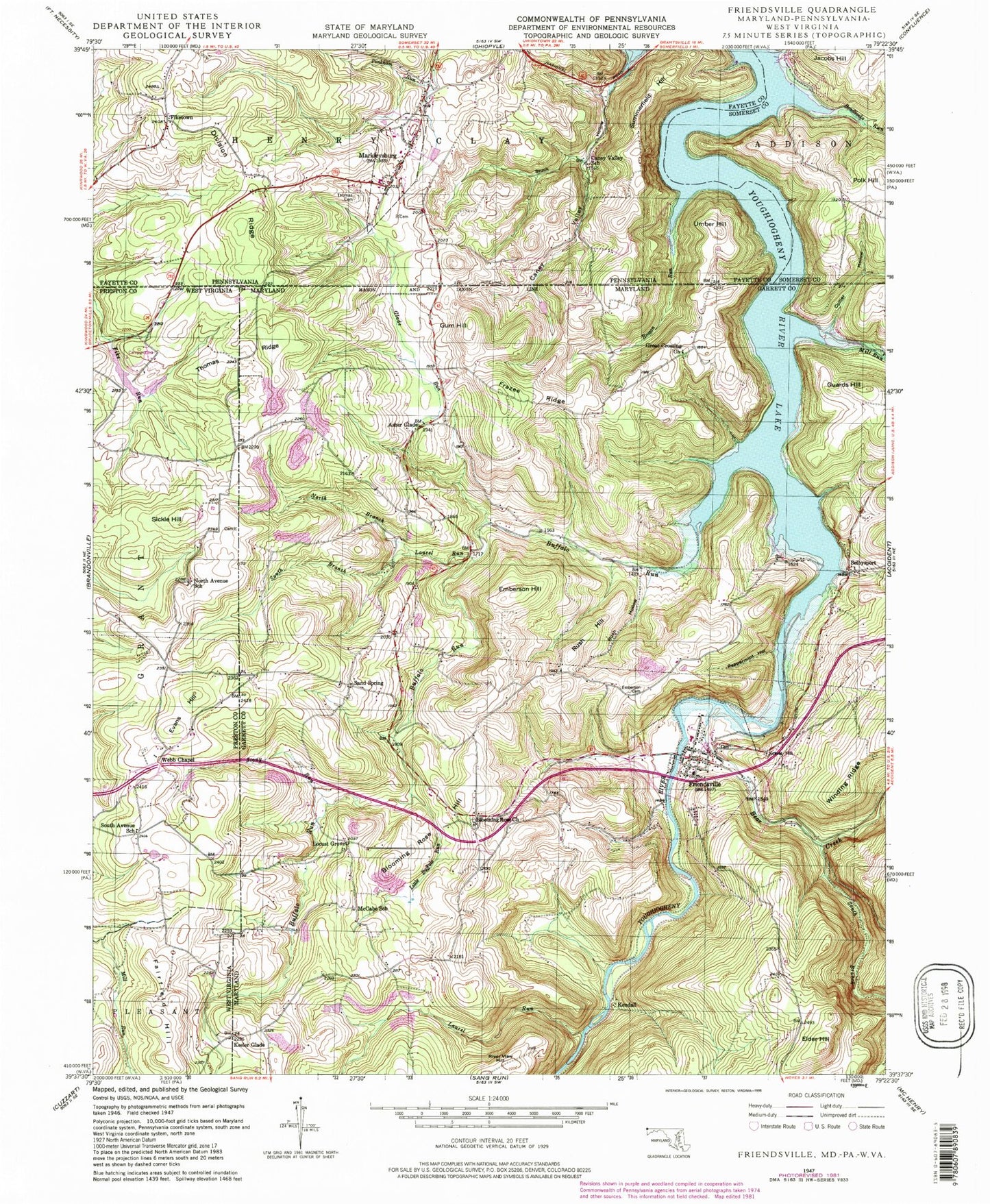
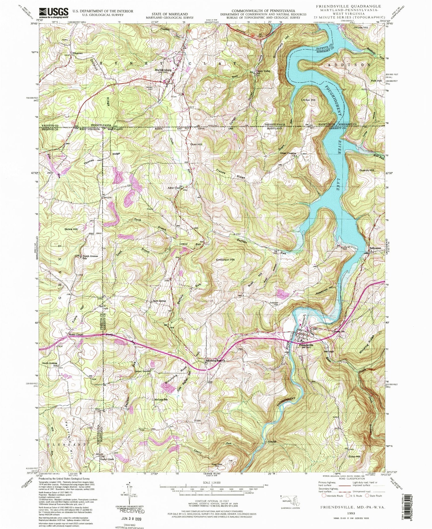
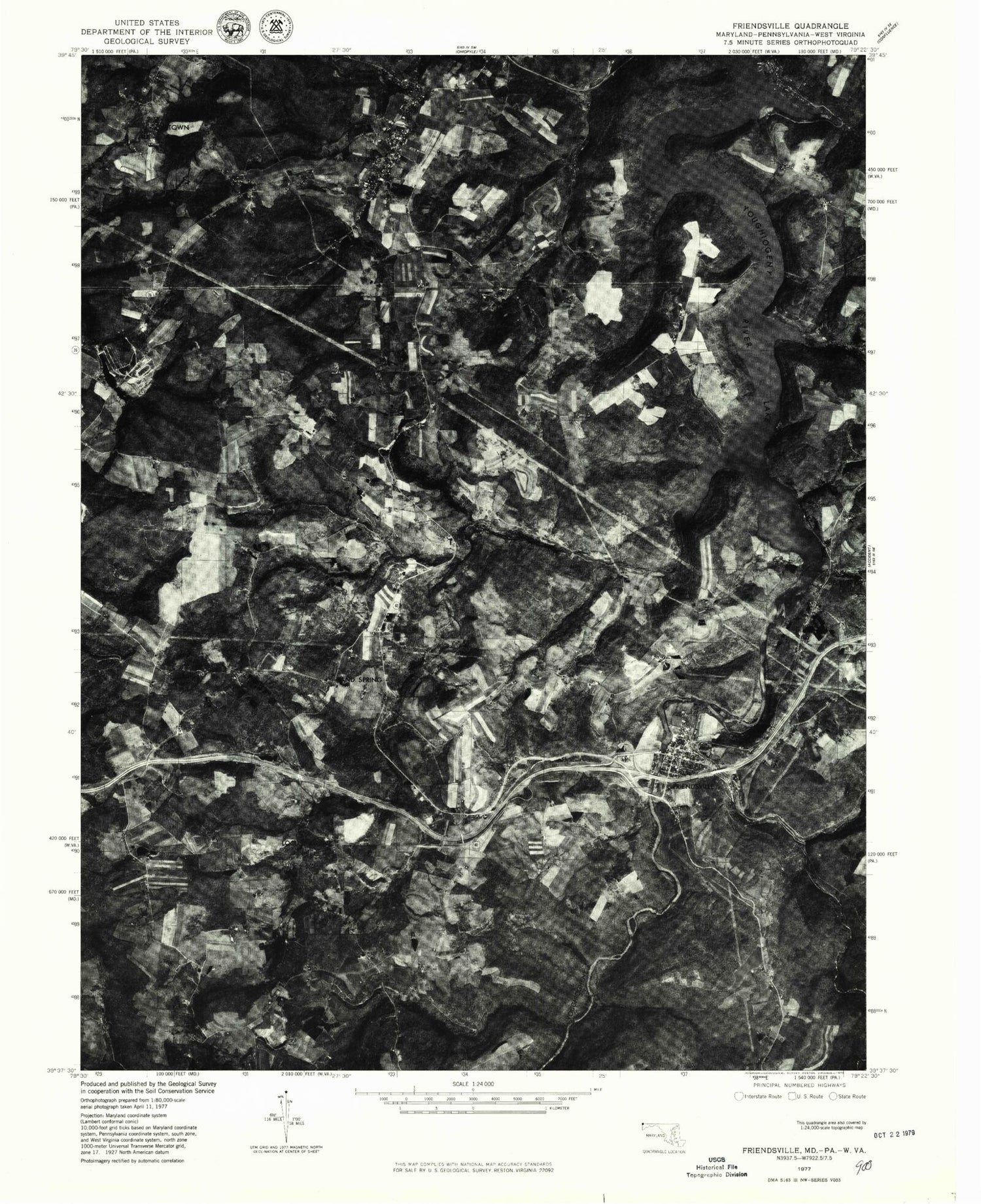
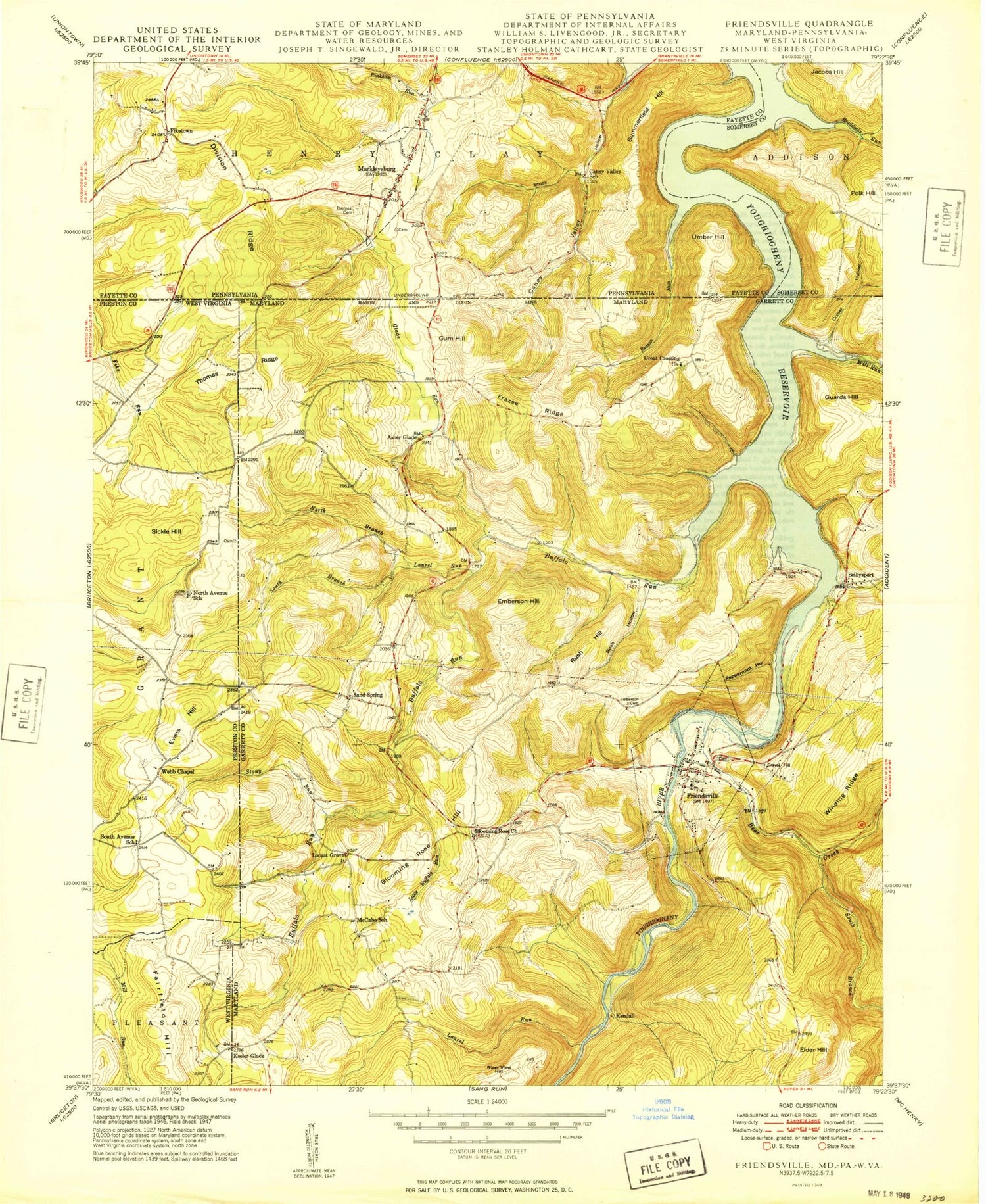
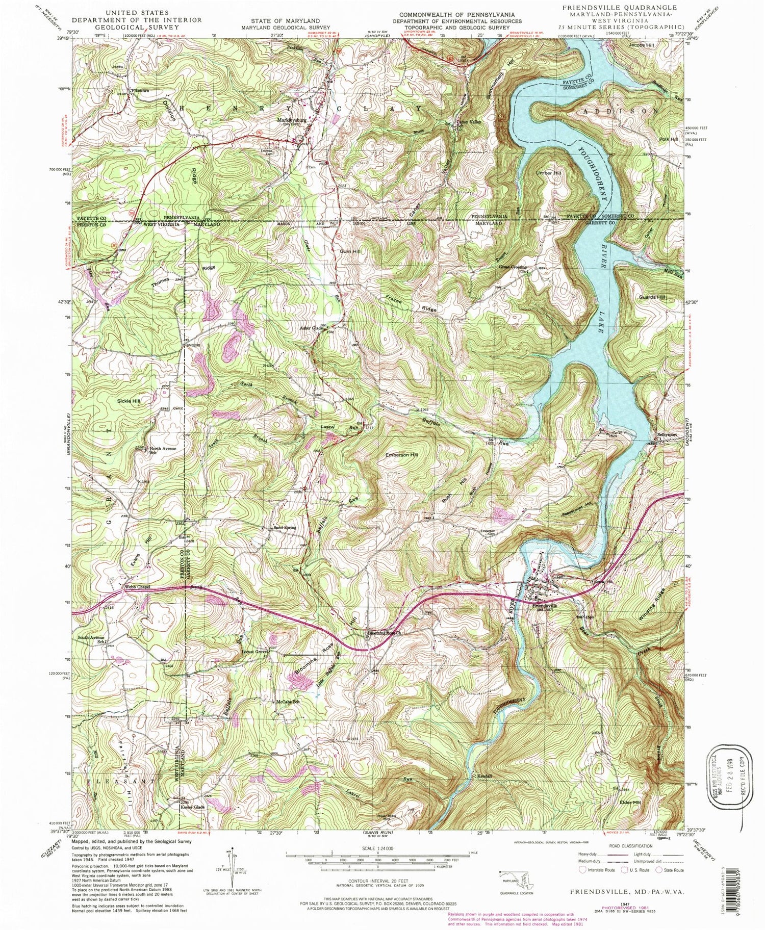
Historical USGS topographic quad map of Friendsville in the states of Maryland, Pennsylvania, West Virginia. Map scale may vary for some years, but is generally around 1:24,000. Print size is approximately 24" x 27"
This quadrangle is in the following counties: Fayette, Garrett, Preston, Somerset.
The map contains contour lines, roads, rivers, towns, and lakes. Printed on high-quality waterproof paper with UV fade-resistant inks, and shipped rolled.
Contains the following named places: Appalachian Lake, Asher Glade, Asher Glade Cemetery, Asher Glade Church of the Brethren, Asher Glade School, Bear Creek, Blooming Rose, Blooming Rose Cemetery, Blooming Rose Church, Blooming Rose Hill, Borough of Markleysburg, Braddocks Run, Buffalo Run, Caney Valley, Caney Valley School, Collier Hollow, Collier Run, District 2 Friendsville, Division Ridge, Emberson Cemetery, Emberson Hill, Evans Hill, Fearer Cemetery, Fiketown, Frazee Ridge, Friendsville, Friendsville Elementary School, Friendsville Post Office, Friendsville Volunteer Fire Department Station 110, Geices, Glade Run, Grantsville Volunteer Fire Department, Gravel Hill, Great Crossing Church, Great Crossings Cemetery, Guard Post Office, Guards Hill, Gum Hill, Juergensen Airpark and Maritime Facility, Keeler Glade, Kemp Farm Pond Dam, Kendall, Laurel Run, Little Buffalo Run, Locust Grove, Markleysburg, Markleysburg Henry Clay Volunteer Fire Department Main Station 27, Markleysburg Post Office, McCabe School, Mill Run, Myers Frazee Cemetery, North Avenue School, North Branch Laurel Run, Northern Garrett County Rescue Squad Station 3, Peppermint Hollow, Pinkham Run, Polk Hill, Reason Run, River View Hill, Rush Baptist Church, Rush Hill, Rush Hollow, Sand Spring, Sand Spring Cemetery, Sand Spring School, Selbys Port United Methodist Church, Selbysport, Sickle Hill, South Avenue School, South Branch Bear Creek, South Branch Laurel Run, Speelman Mills, Steele Cemetery, Stony Run, Stuck Hollow, Summerfield Hill, Thomas Cemetery, Thomas Connaway Loudermilk Cemetery, Thomas Ridge, Town of Friendsville, Umber Hill, United States Penitentiary Hazleton, Watsondale, Webb Chapel Cemetery, Webb Chapel United Methodist Church, ZIP Code: 21531