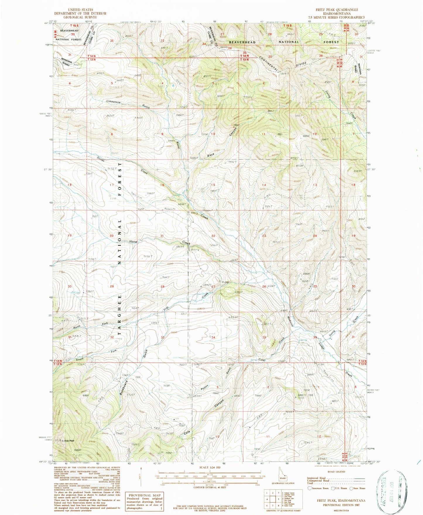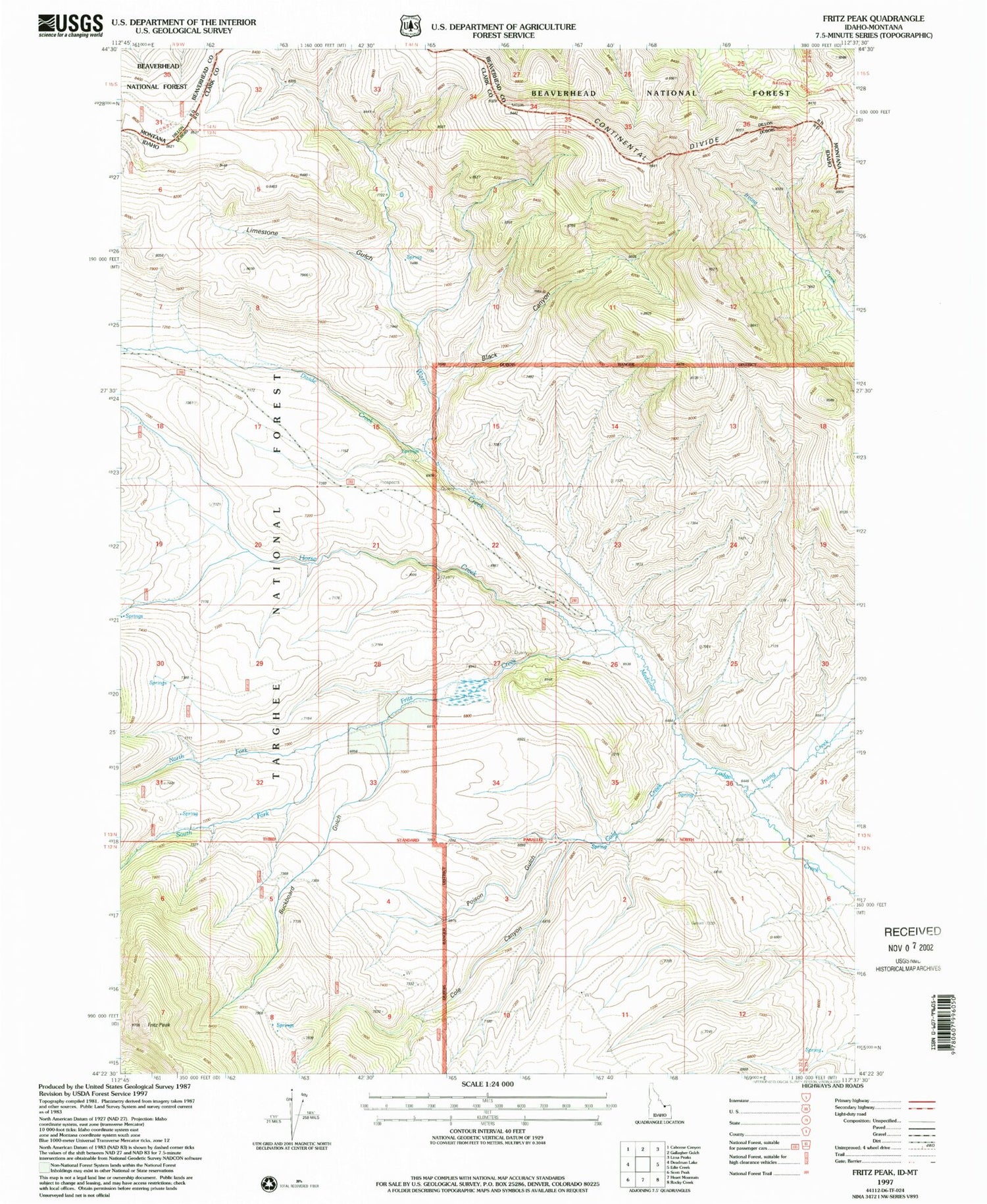

MyTopo
Classic USGS Fritz Peak Idaho 7.5'x7.5' Topo Map
Regular price
$16.95
Regular price
Sale price
$16.95
Unit price
per
Couldn't load pickup availability
Historical USGS topographic quad map of Fritz Peak in the state of Idaho. Typical map scale is 1:24,000, but may vary for certain years, if available. Print size: 24" x 27"
This quadrangle is in the following counties: Beaverhead, Clark.
The map contains contour lines, roads, rivers, towns, and lakes. Printed on high-quality waterproof paper with UV fade-resistant inks, and shipped rolled.
Contains the following named places: Big Spring, Black Canyon, Buckboard Gulch, Cold Creek, Cole Canyon, Divide Creek, Fritz Creek, Fritz Peak, Horse Creek, Irving Creek, Limestone Gulch, North Fork Fritz Creek, Poison Gulch, South Fork Fritz Creek, Warm Creek