MyTopo
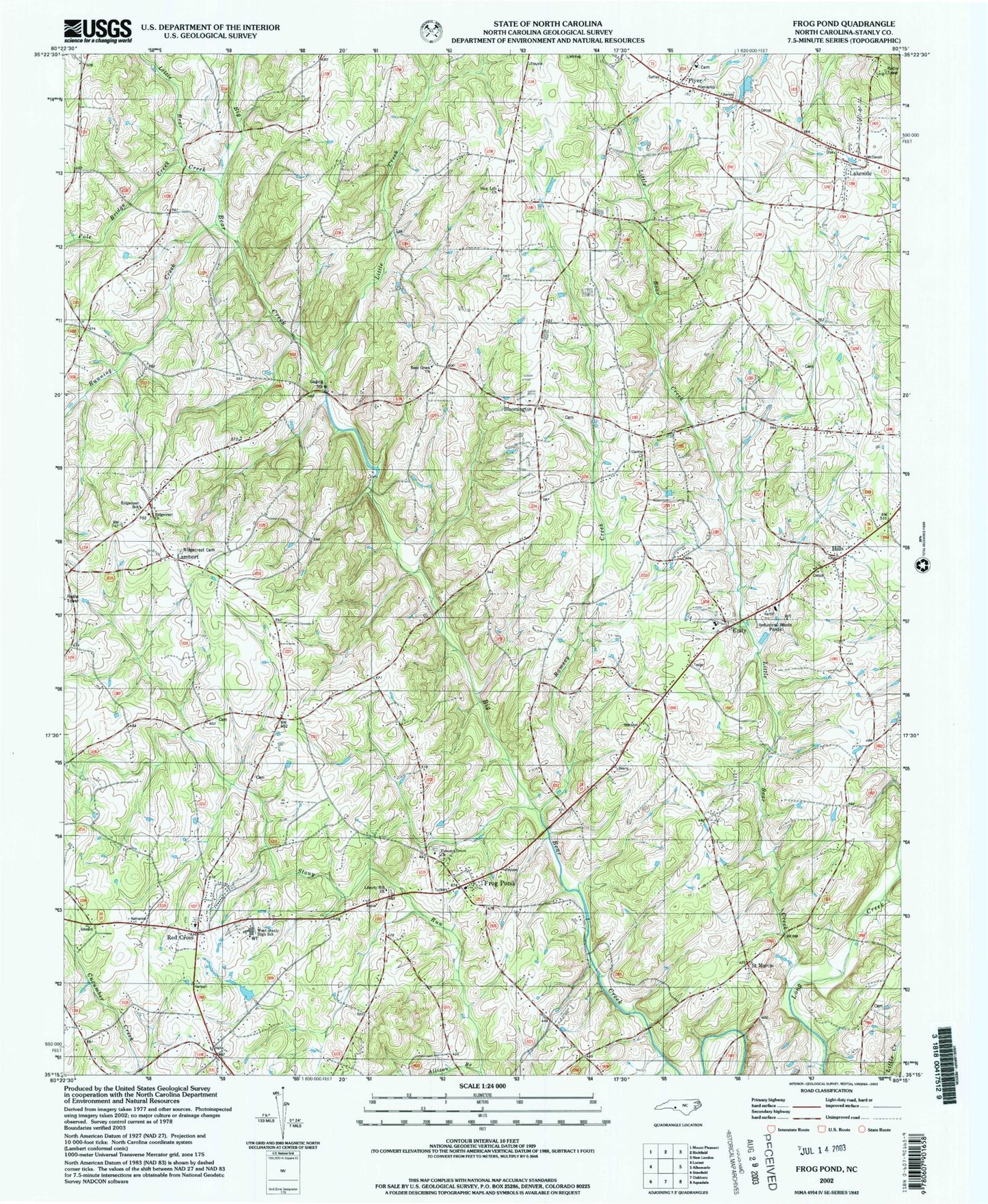
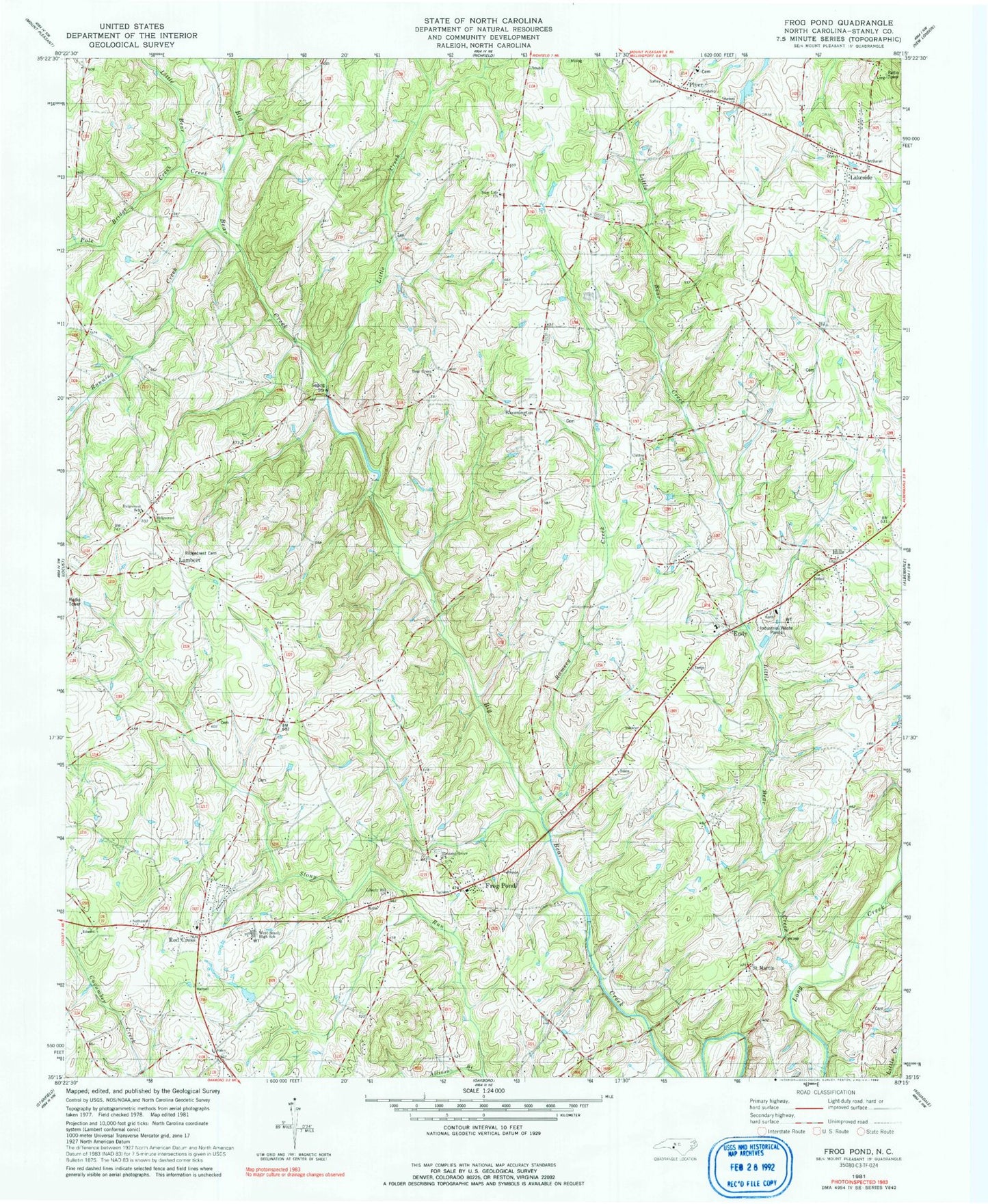
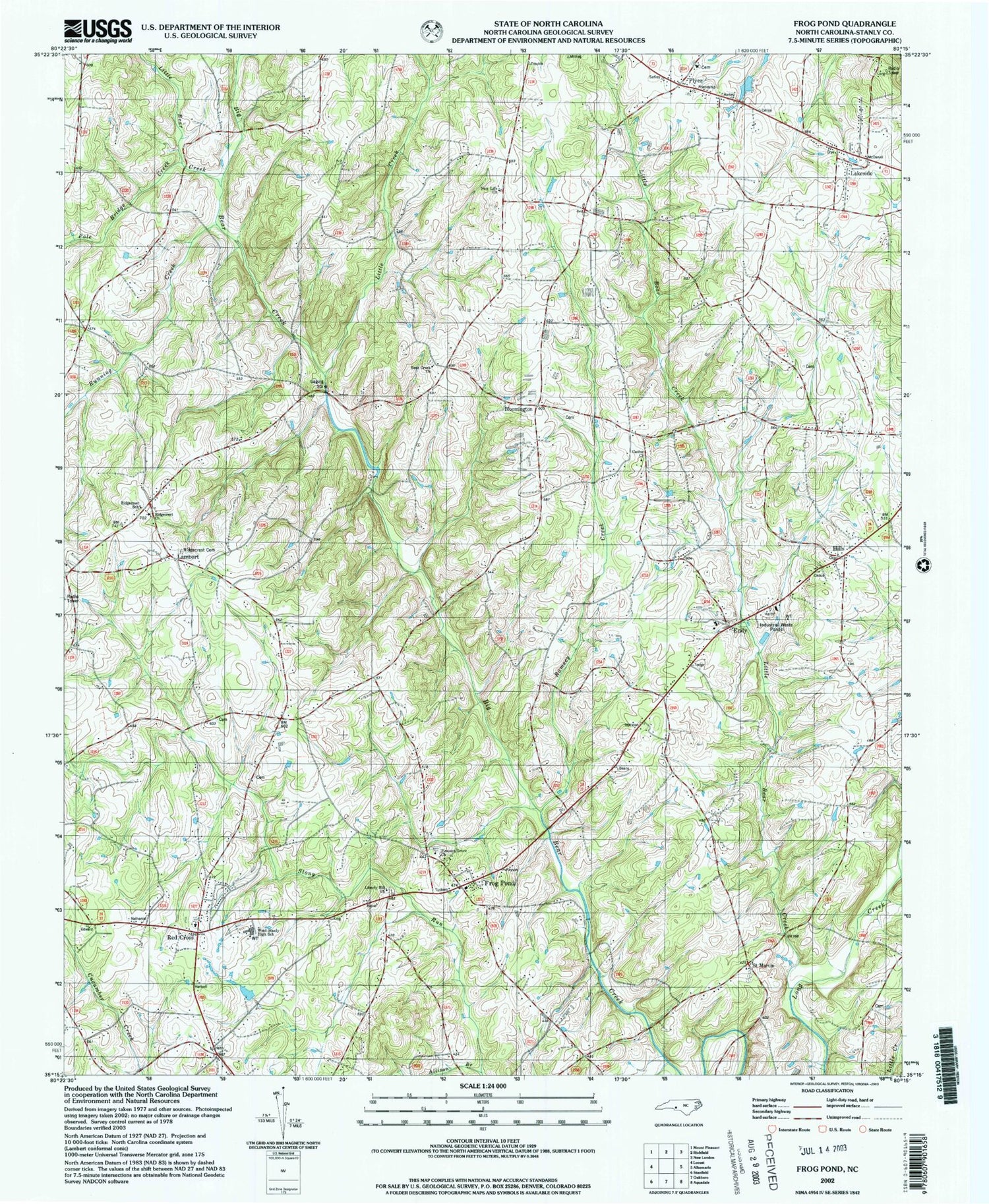
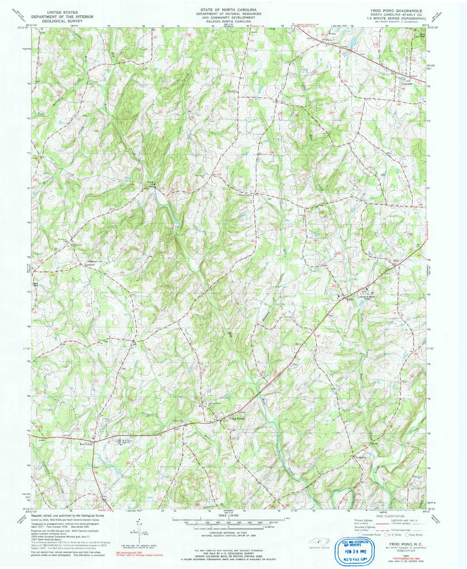
Classic USGS Frog Pond North Carolina 7.5'x7.5' Topo Map
Couldn't load pickup availability
Historical USGS topographic quad map of Frog Pond in the state of North Carolina. Map scale may vary for some years, but is generally around 1:24,000. Print size is approximately 24" x 27"
This quadrangle is in the following counties: Stanly.
The map contains contour lines, roads, rivers, towns, and lakes. Printed on high-quality waterproof paper with UV fade-resistant inks, and shipped rolled.
Contains the following named places: Allison Branch, Bear Creek Church, Bloomington, Canton Church, Efirds Mill, Endy, Endy School, Endy Volunteer Fire Department, Frog Pond, Hills, Lakeside, Lambert, Liberty Hill Church, Little Bear Creek, Little Creek, New Life Church, Pleasant Grove Church, Plyer, Pole Bridge Creek, Ramsey Creek, Red Cross, Ridgecrest Cemetery, Ridgecrest Church, Ridgecrest School, Ridgecrest Volunteer Fire Department Station 36, Running Creek, Running Creek Church, Saint Martin, Saint Martins Church, Stanly County, Stanly County Emergency Medical Services Base 3, Stony Run, Town of Red Cross, Township of Almond, Township of Endy, Township School, West Stanly High School, Whitley Mill


