MyTopo
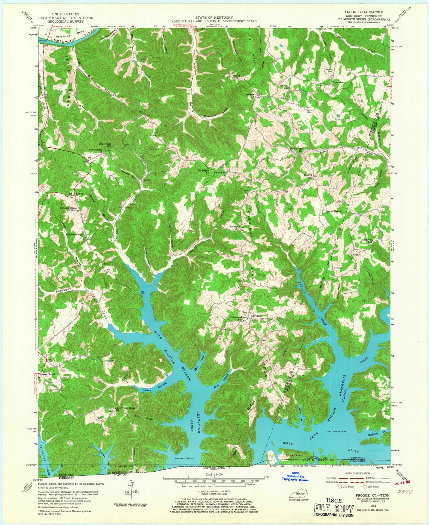
Classic USGS Frogue Kentucky 7.5'x7.5' Topo Map
Couldn't load pickup availability
Historical USGS topographic quad map of Frogue in the states of Kentucky, Tennessee. Typical map scale is 1:24,000, but may vary for certain years, if available. Print size: 24" x 27"
This quadrangle is in the following counties: Clay, Clinton, Cumberland, Pickett.
The map contains contour lines, roads, rivers, towns, and lakes. Printed on high-quality waterproof paper with UV fade-resistant inks, and shipped rolled.
Contains the following named places: Bend Hollow, Boom Ridge, Bow School, Trooper Island, Brannan Church, Bybee Hollow, Casey Branch, Cherry Tree Ridge School (historical), Chestnut Grove School, Christian Chapel, Christian Chapel School, Clover Creek, Dickens Hollow, East Fork Raft Creek, Fannys Creek, Gamblin Branch, Glidewell School, Grace Cemetery, Herefords Bend, Hoot Branch, Huffakre Fork, Illwill Creek, Jackson Hollow, Jones Branch, Lawson Hollow, Long Cemetery, Lucky Hollow, Midway Church, Mill Creek, Mount Pisgah Church, Neeleys Ferry, New Sulphur Church, Nunn Branch, Prichard Hollow, Raft Creek, Riddle Prong, Rose of Sharon Methodist Church, Scott Ridge, Sexton Fork Church, Spears Chapel, Spring Branch, Spurlins Hollow, Stony Point School, Store Hollow, Storehouse Hollow, Vincent Cemetery, Vincent School, Williams Creek, Willis Branch, Frogue, Green Grove, Hegira, Hobart, Kettle, Long Ridge, Modoc, Kettle-Peytonsburg Division, Bryson Ford (historical), Greenbrier School (historical), Guthrie Bluff, Hay Hollow, Hobart Post Office (historical), Illwill Post Office (historical), Little Cactus Island, Pierce Hollow, Chestnut Grove Ridge, Dale Hollow Lake State Park, Green Grove Ridge, Boys Island, Sulphur School (historical)


