MyTopo
Classic USGS Fromm Lookout Tower Wisconsin 7.5'x7.5' Topo Map
Regular price
$16.95
Regular price
Sale price
$16.95
Unit price
per
Couldn't load pickup availability
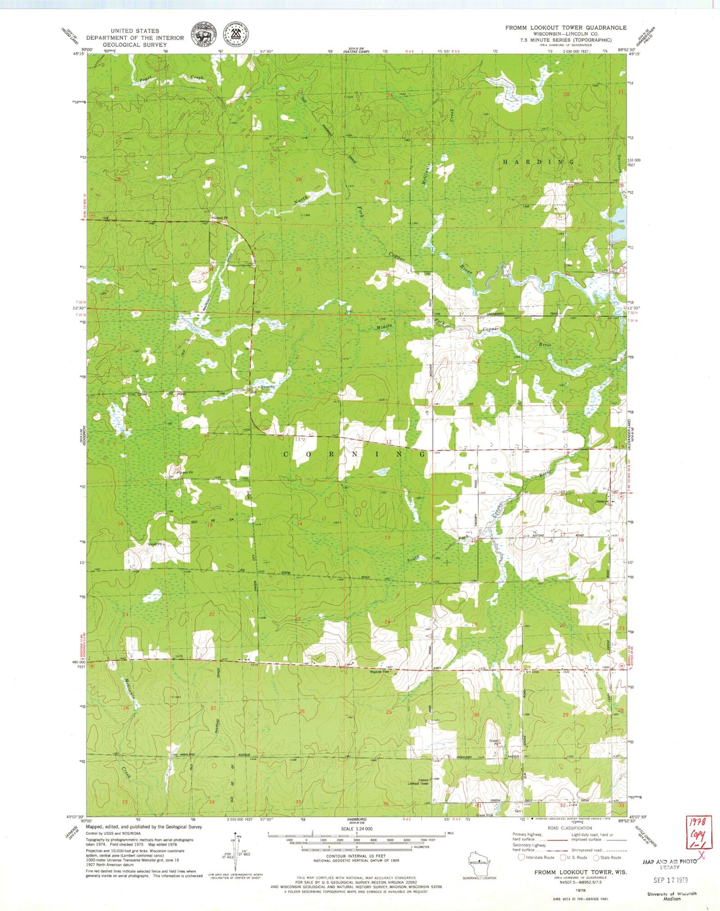
Historical USGS topographic quad map of Fromm Lookout Tower in the state of Wisconsin. Map scale may vary for some years, but is generally around 1:24,000. Print size is approximately 24" x 27"
This quadrangle is in the following counties: Lincoln.
The map contains contour lines, roads, rivers, towns, and lakes. Printed on high-quality waterproof paper with UV fade-resistant inks, and shipped rolled.
Contains the following named places: Camp 19, Emmanuel School, Fromm Lookout Tower, Green Dale School, Immanuel Church, Leafy Grove School, McGinnis Creek, Middle Fork Copper River, North Fork Copper River, Prast Creek, South Fork Copper River, Town of Corning