MyTopo
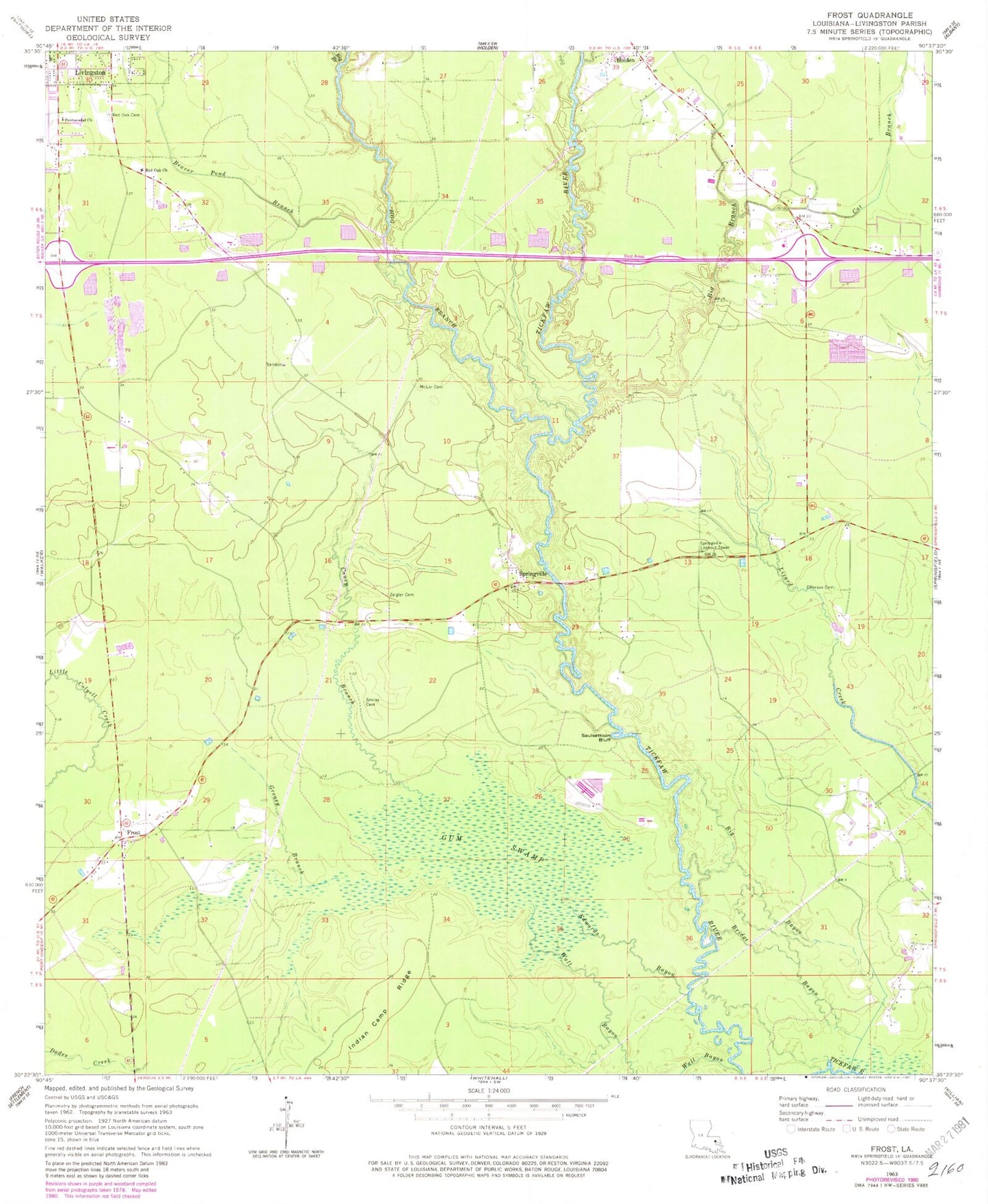
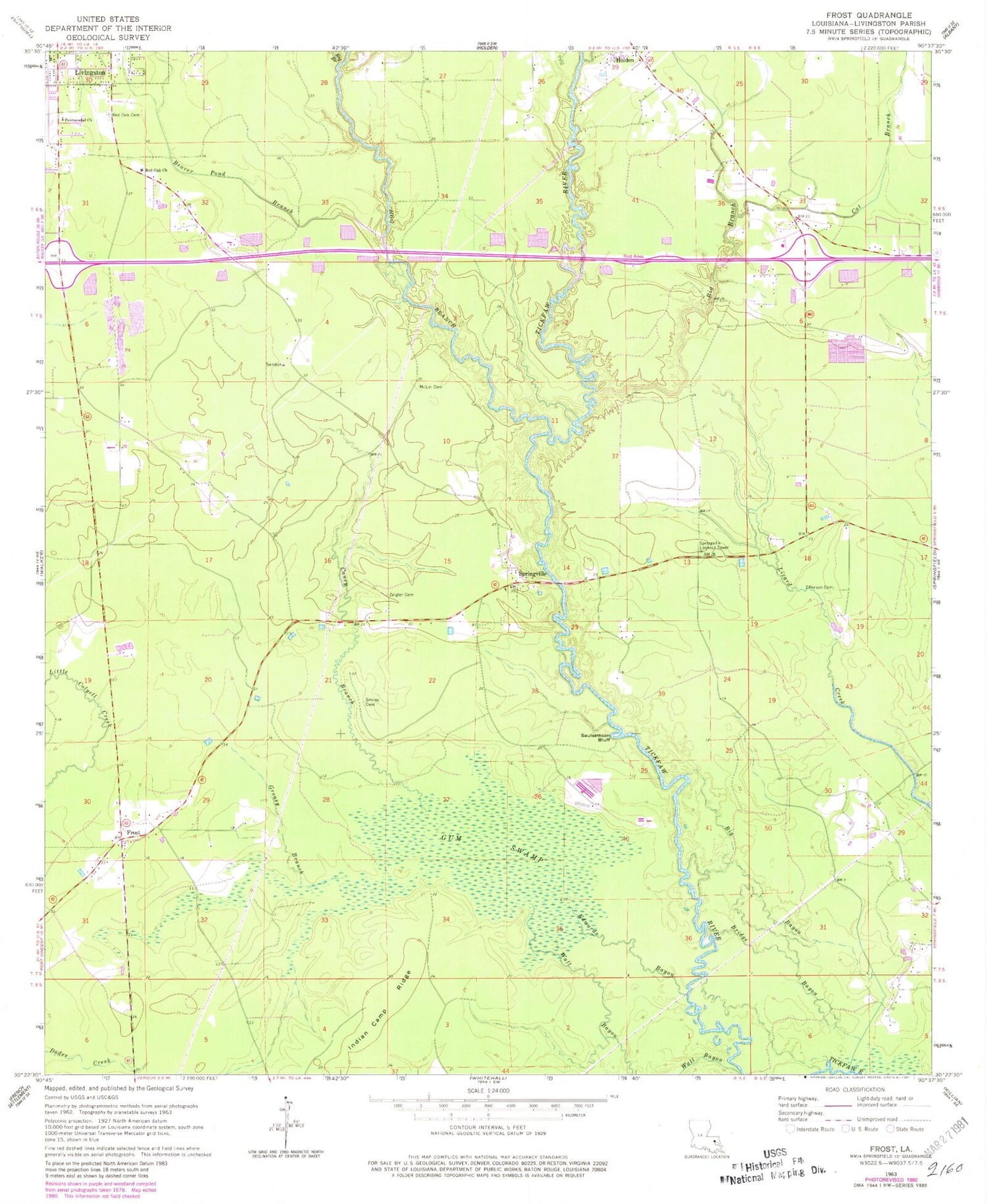
Classic USGS Frost Louisiana 7.5'x7.5' Topo Map
Couldn't load pickup availability
Historical USGS topographic quad map of Frost in the state of Louisiana. Map scale may vary for some years, but is generally around 1:24,000. Print size is approximately 24" x 27"
This quadrangle is in the following counties: Livingston.
The map contains contour lines, roads, rivers, towns, and lakes. Printed on high-quality waterproof paper with UV fade-resistant inks, and shipped rolled.
Contains the following named places: Beaver Pond Branch, Big Bayou, Big Branch, Bridge Bayou, Caney Branch, Cat Branch, Edwards Bayou, Efferson Cemetery, First Baptist Church, Frost, Glory Baptist Church, Greasy Branch, Gum Swamp, Hog Branch, Indian Camp Ridge, Living Waters Apostolic Church, Livingston Parish, Livingston Parish Health Unit, McLin Cemetery, Pentecostal Church, Red Oak Baptist Church, Red Oak Cemetery, Red Oak Methodist Episcopal Church, Saint James Baptist Church, Saulsettoon Bluff, Smiley - Davidson Cemetery, Smiley Landing, Springfield Baptist Church, Springville, Springville Lookout Tower, Tarvon Swamp, The Freedom Church, Tickfaw State Park, Town of Livingston, Van Buren, Wall Settlement, Zeigler Cemetery


