MyTopo
Classic USGS Frutosa Lake New Mexico 7.5'x7.5' Topo Map
Couldn't load pickup availability
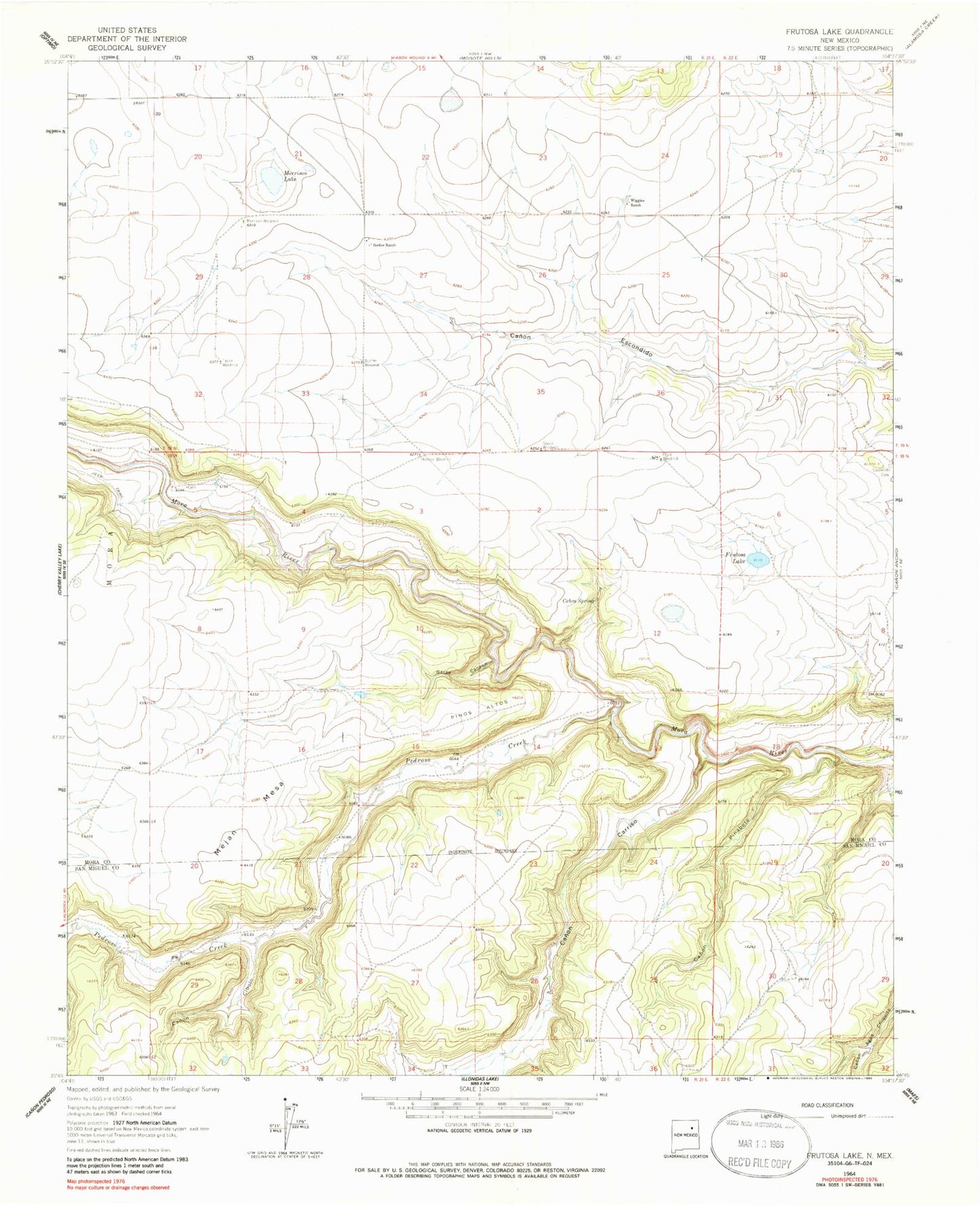
Historical USGS topographic quad map of Frutosa Lake in the state of New Mexico. Map scale may vary for some years, but is generally around 1:24,000. Print size is approximately 24" x 27"
This quadrangle is in the following counties: Mora, San Miguel.
The map contains contour lines, roads, rivers, towns, and lakes. Printed on high-quality waterproof paper with UV fade-resistant inks, and shipped rolled.
Contains the following named places: Allen, Berlier Ranch, Bucher Windmill, Cabra Spring, Canon Carriso, Canon Cibolo, Canon Pinabete, Capps, Doolin Windmill, Elijid Windmill, Frutosa Lake, Garza Canyon, Harman Windmill, Mejan Mesa, Mobil 1 Wiggins, Morrison Lake, Morrison Windmill, Pedroso Creek, Pinos Altos, Taylor Windmill, Wiggins Ranch