MyTopo
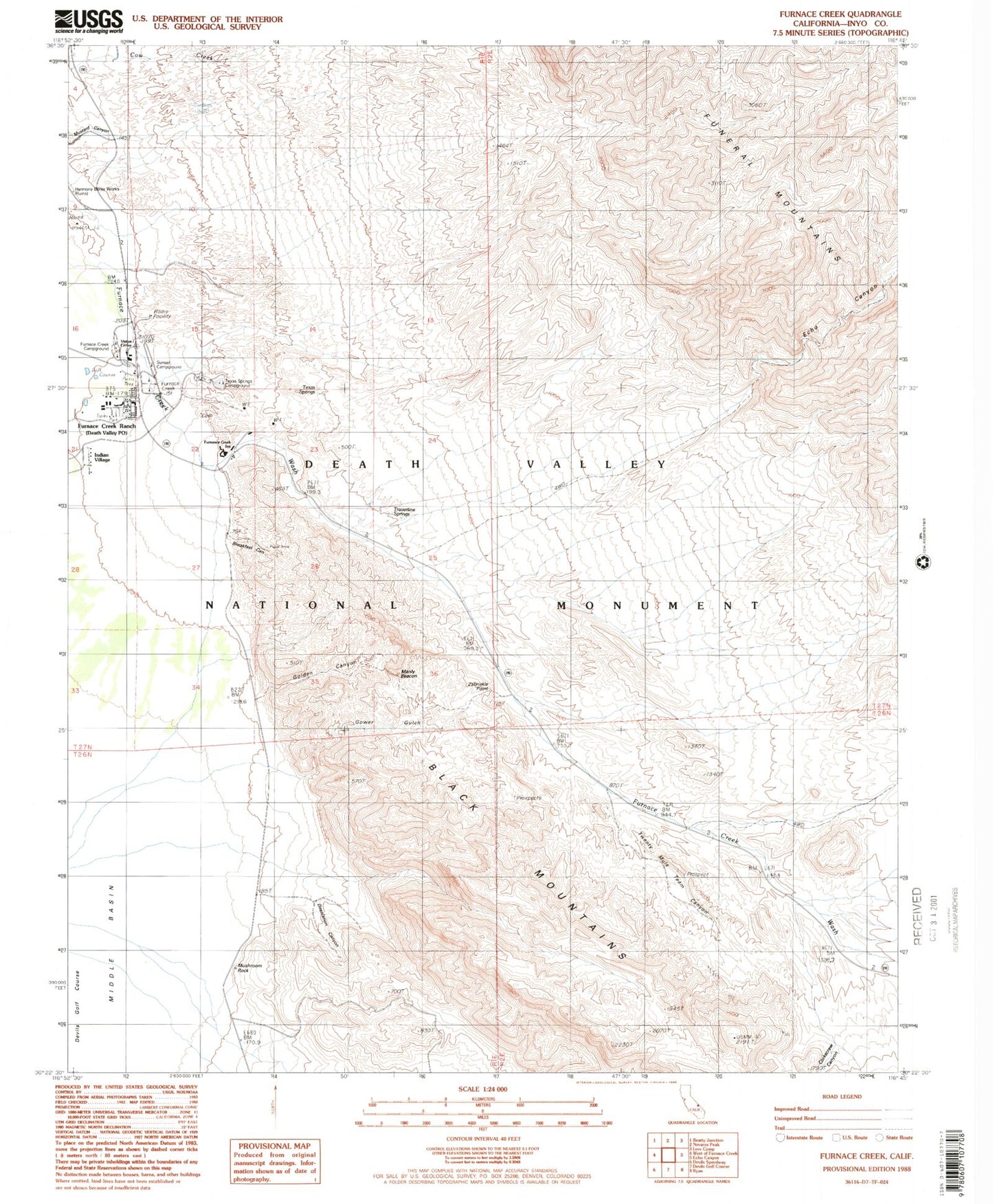
Classic USGS Furnace Creek California 7.5'x7.5' Topo Map
Couldn't load pickup availability
Historical USGS topographic quad map of Furnace Creek in the state of California. Typical map scale is 1:24,000, but may vary for certain years, if available. Print size: 24" x 27"
This quadrangle is in the following counties: Inyo.
The map contains contour lines, roads, rivers, towns, and lakes. Printed on high-quality waterproof paper with UV fade-resistant inks, and shipped rolled.
Contains the following named places: Breakfast Canyon, Corkscrew Canyon, Cow Creek, Desolation Canyon, Echo Canyon, Furnace Creek Inn, Furnace Creek Ranch, Golden Canyon, Harmony Borax Works, Mushroom Rock, Salt Springs, Texas Springs, Texas Springs Campground, Travertine Springs, Twenty Mule Team Canyon, Death Valley, Gower Gulch, Indian Village, Zabriskie Point, Furnace Creek Campground, Manly Beacon, Sunset Campground, Mars Hill, East Coleman Pit, Death Valley National Park Visitor Center, Furnace Creek Golf Course, Furnace Creek, Furnace Creek Census Designated Place, Death Valley National Park Fire and Rescue, Furnace Creek Volunteer Fire Department, Death Valley Post Office


