MyTopo
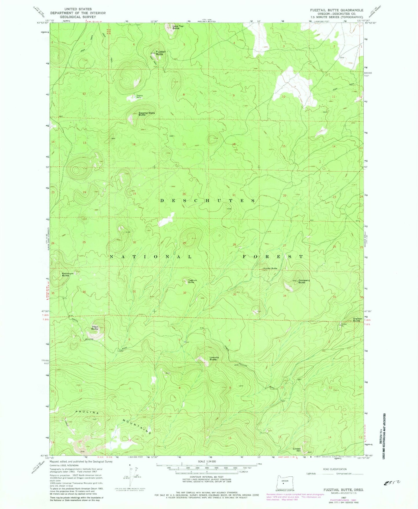
Classic USGS Fuzztail Butte Oregon 7.5'x7.5' Topo Map
Couldn't load pickup availability
Historical USGS topographic quad map of Fuzztail Butte in the state of Oregon. Map scale may vary for some years, but is generally around 1:24,000. Print size is approximately 24" x 27"
This quadrangle is in the following counties: Deschutes.
The map contains contour lines, roads, rivers, towns, and lakes. Printed on high-quality waterproof paper with UV fade-resistant inks, and shipped rolled.
Contains the following named places: Balbali Butte, Bosbosli Butte, Cinder Hill, Company Butte, Erratic Butte, Fuzztail Butte, Gekgekli Butte, Hunter Butte, Kide Butte, Kwinnum Butte, Lava Top Butte, Lithic Butte, Lowullo Butte, North Canyon, Orphan Butte, Pilpil Butte, Sisters-Millican Division, Swamp Wells, Swamp Wells Butte, Swamp Wells Horse Camp, Swamp Wells Trailhead, Taghum Butte