MyTopo
Classic USGS Gaddysville North Carolina 7.5'x7.5' Topo Map
Couldn't load pickup availability
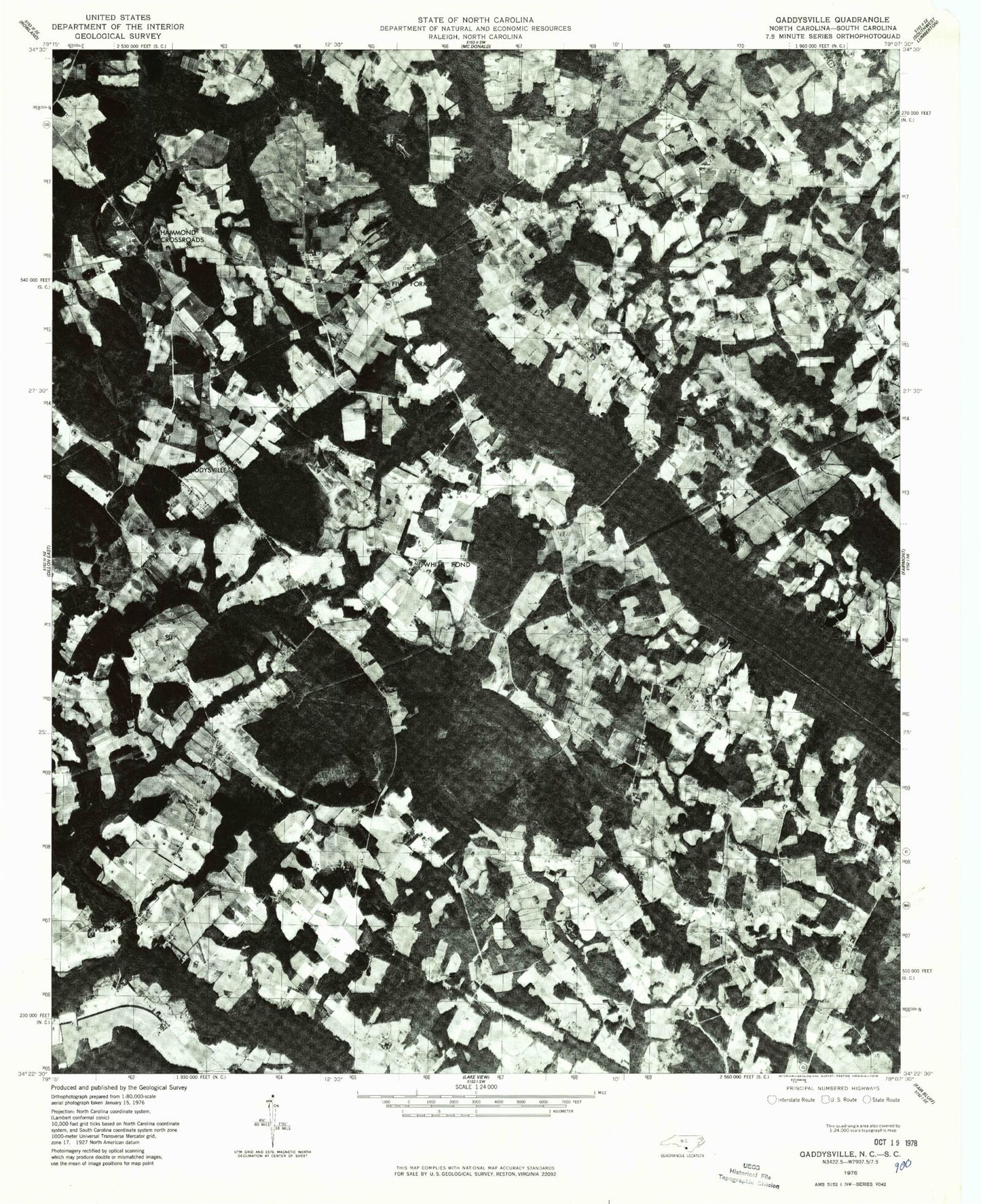
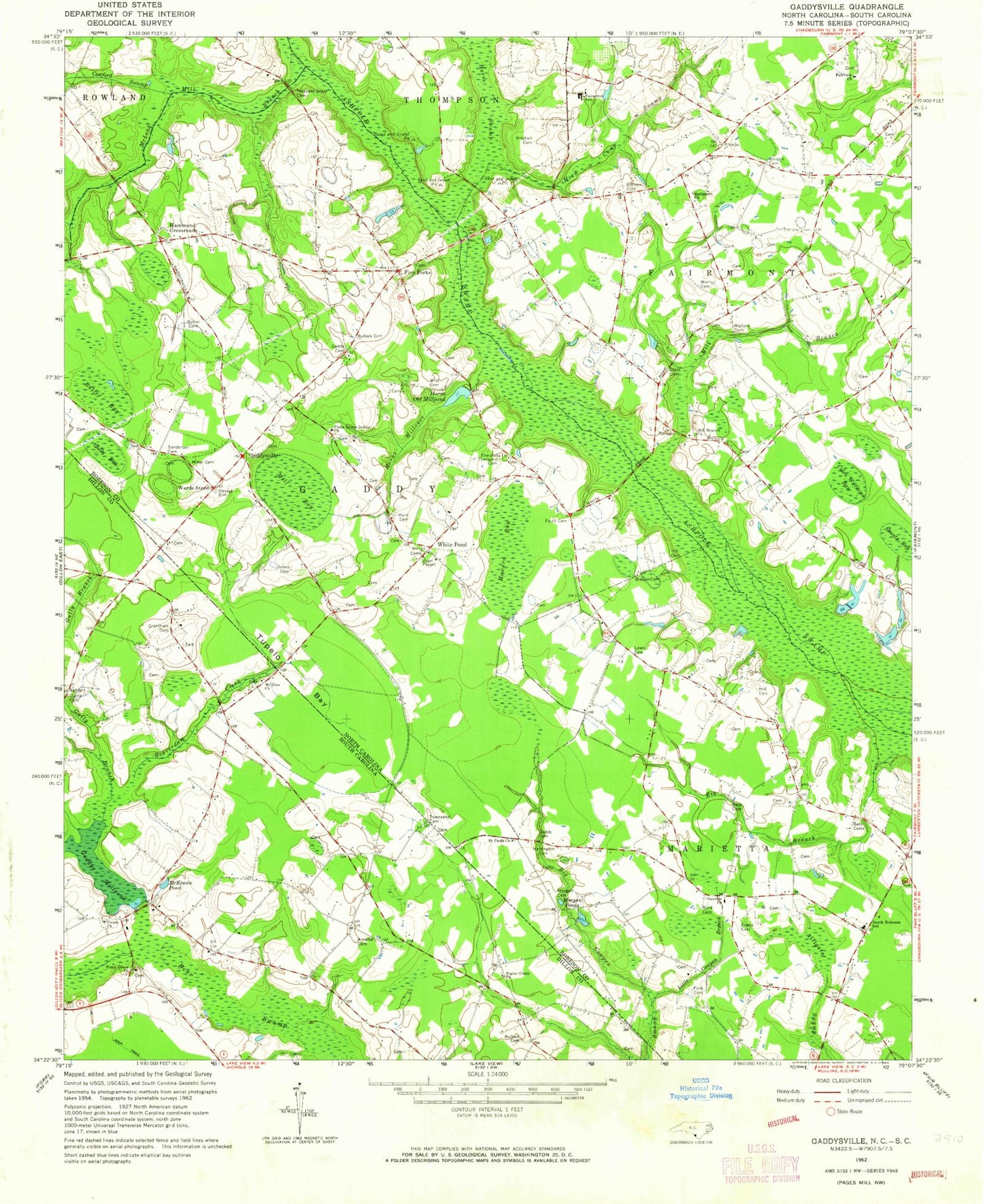
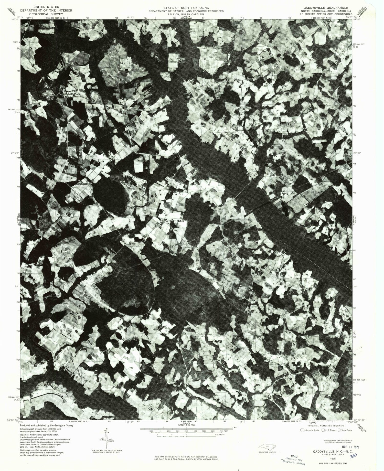
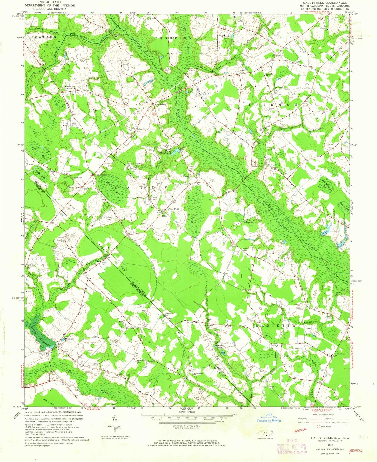
Historical USGS topographic quad map of Gaddysville in the states of North Carolina, South Carolina. Map scale may vary for some years, but is generally around 1:24,000. Print size is approximately 24" x 27"
This quadrangle is in the following counties: Dillon, Robeson.
The map contains contour lines, roads, rivers, towns, and lakes. Printed on high-quality waterproof paper with UV fade-resistant inks, and shipped rolled.
Contains the following named places: Arnette Cemetery, Baltimore Church, Bass Cemetery, Beaverdam Creek, Big Branch, Brewer Cemetery, Britt Cemetery, Bullock Cemetery, Butler Bay, Butler Cemetery, Byrd Cemetery, Canaan Branch, Canaan School, Colen Williams Bay, Cowford Swamp, Cowpen Swamp, Curtis Cemetery, Davis Cemetery, Evans Cemetery, Fairgrove School, Fairview Church, Faulk Cemetery, Five Forks, Five Forks Church, Ford Cemetery, Gaddy Cemetery, Gaddys Mill, Gaddys Millpond, Gaddys Millpond Dam D-3598, Gaddysville, Grantham Cemetery, Gully Bay, Gully Branch, Hammond Crossroads, Harrington Cemetery, Hill Cemetery, Horn Camp Swamp, Horns Millrace, Horns Old Millpond, Howard Bay, Hunt Cemetery, Jones Cemetery, Lewis Cemetery, Little Cowpen Branch, McKenzie Pond, McLeod Mill Branch, Mill Bay, Mill Branch, Mill Branch Church, Miller Cemetery, Mitchell Cemetery, Morgan Cemetery, Morgan Ponds, Mount Zion Baptist Church Cemetery, Mount Zion Church, Oakdale Church, Page Chapel, Piney Grove Baptist Church, Piney Grove Baptist Church Cemetery, Piney Grove Indian Church, Pittman Pond, Pleasant Grove Cemetery, Poplar Creek Church, Robeson County Sheriff's Office, Saint Pauls Church, Sanderson Cemetery, Shanty Bay, South Robeson School, Townsend Cemetery, Township of Gaddys, Township of Whitehouse, Tupelo Bay, Union Church, Union High School, Union School, Walters Cemetery, Wards Store, White Pond, Whitehouse Volunteer Fire Department, Worley Cemetery, ZIP Code: 28340


