MyTopo
Classic USGS Gadsden Arizona 7.5'x7.5' Topo Map
Couldn't load pickup availability
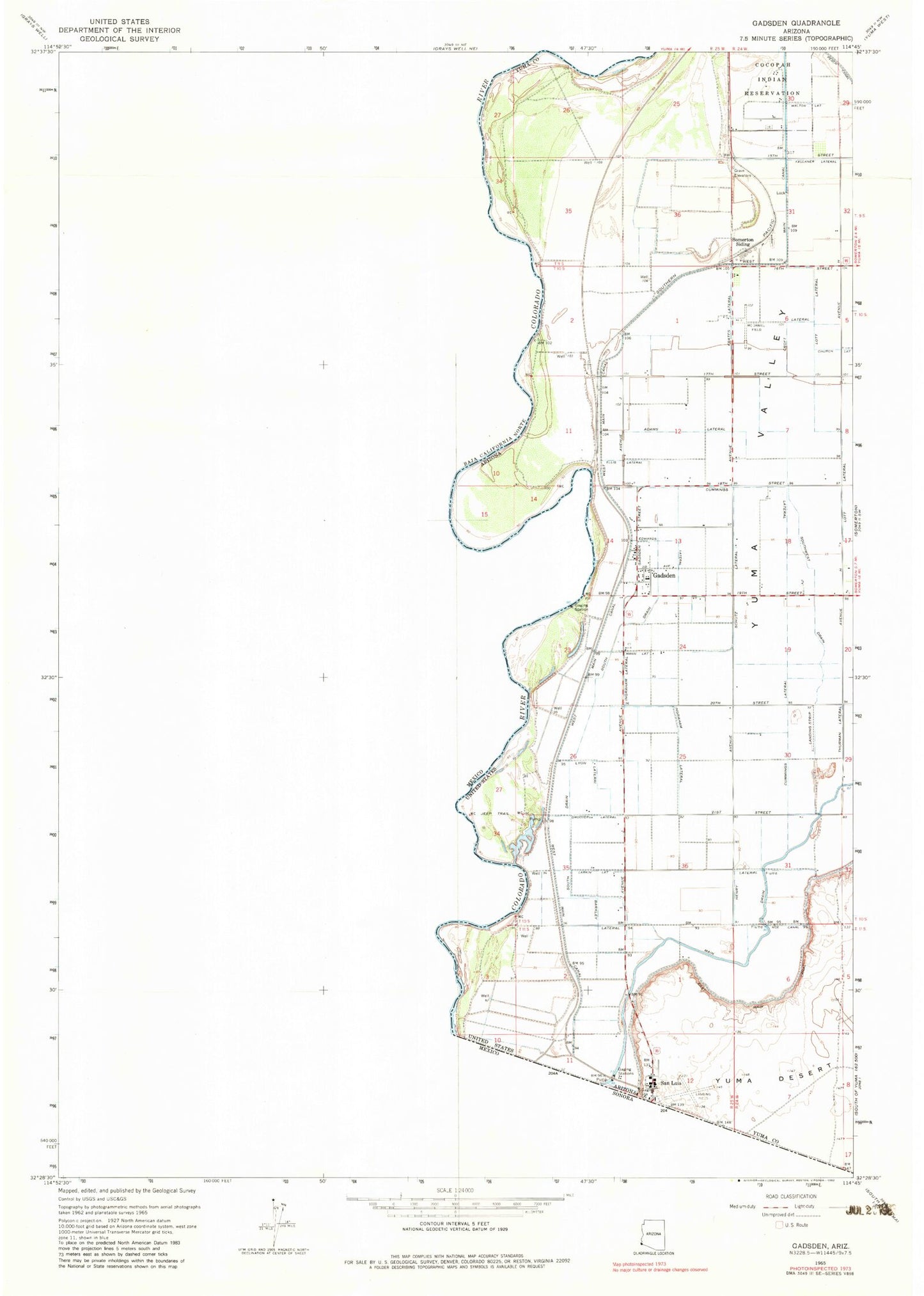
Historical USGS topographic quad map of Gadsden in the state of Arizona. Map scale may vary for some years, but is generally around 1:24,000. Print size is approximately 24" x 27"
This quadrangle is in the following counties: Yuma.
The map contains contour lines, roads, rivers, towns, and lakes. Printed on high-quality waterproof paper with UV fade-resistant inks, and shipped rolled.
Contains the following named places: Adams Lateral, Arizona Desert Elementary School, Barkley Lateral, Cesar Chavez Elementary School, Cocopah Reservation, Croft Lateral, Cummings Lateral, Desert View Elementary School, Ebenezer Church, Ed Pastor Elementary School, Edwards Lateral, Ellis Lateral, Frates Lateral, Friendship Park, Gadsden, Gadsden Census Designated Place, Gadsden Elementary School, Gadsden Park, Gadsden Post Office, Gadsden Purchase, Groover Lateral, Henry Lateral, Horn Lateral, Ingraham Lateral, Kingdom Hall of Jehovahs Witnesses Spanish Congregation, Larkin Lateral, Lott Lateral, Lyon Lateral, Malloy Lateral, Mann Lateral, McDaniel Field, Monroe Lateral, Neatherlin Lateral, Noe Canal, Parvin Lateral, Pesch Canal, Port of Entry San Luis, Rio Colorado Elementary School, Rural / Metro Fire Department Station 11, Rural / Metro Fire Department Station 7, San Luis, San Luis Fire Department, San Luis High School, San Luis Library, San Luis Middle School, San Luis Police Department, San Luis Post Office, Schutz Lateral, Somerton Siding, South Drain, Southwest Junior High School, Southwest Lateral, Walton Lateral, Yuma Valley, ZIP Code: 85336