MyTopo
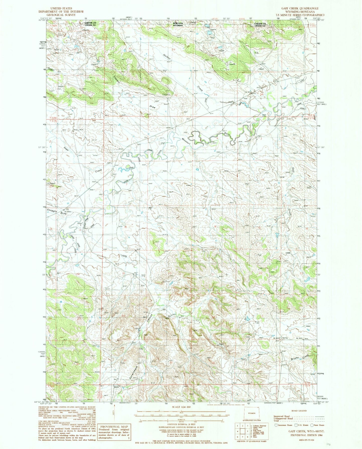
Classic USGS Gaff Creek Wyoming 7.5'x7.5' Topo Map
Couldn't load pickup availability
Historical USGS topographic quad map of Gaff Creek in the states of Wyoming, Montana. Map scale may vary for some years, but is generally around 1:24,000. Print size is approximately 24" x 27"
This quadrangle is in the following counties: Carter, Crook.
The map contains contour lines, roads, rivers, towns, and lakes. Printed on high-quality waterproof paper with UV fade-resistant inks, and shipped rolled.
Contains the following named places: A58-36-3 Mine, Alzada Mini-Mutes Radar Site, B58-34-2, Foster Ranch, Gaff Creek, Government Canyon, Government Canyon School, H L Dam, H L Reservoir, Harney Ranch, Holben Creek, Lobban Ranch, Sage Creek, Sawmill Draw, Scoggin Draw, Scoggin Ranch, Virginia Sixteen Mine, Whitney Ranch