MyTopo
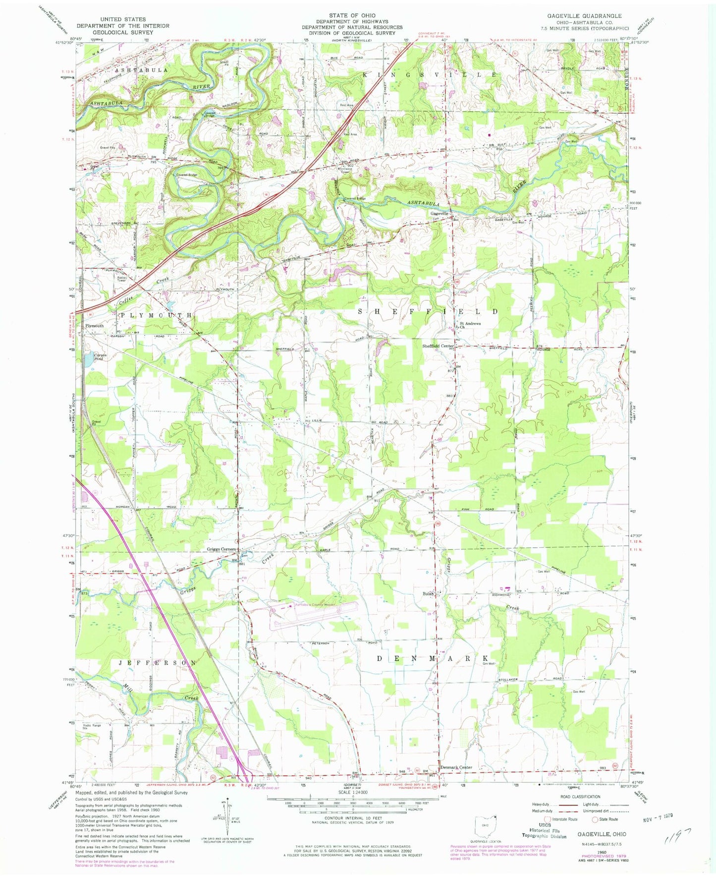
Classic USGS Gageville Ohio 7.5'x7.5' Topo Map
Couldn't load pickup availability
Historical USGS topographic quad map of Gageville in the state of Ohio. Map scale may vary for some years, but is generally around 1:24,000. Print size is approximately 24" x 27"
This quadrangle is in the following counties: Ashtabula.
The map contains contour lines, roads, rivers, towns, and lakes. Printed on high-quality waterproof paper with UV fade-resistant inks, and shipped rolled.
Contains the following named places: Benetka Road Bridge, Bulah, Bulah Calvary United Methodist Church, Carson Pond, Coffee Creek, Denmark Center, Gageville, Gageville Cemetery, Griggs Corners, Griggs Corners Cemetery, Hidden Creek Dairy Farm, Maple View Farm, Northeast Ohio Regional Airport, Olin-Dewey Road Bridge, Ollins Corners, Plymouth, Plymouth Pines Alpaca Farm, Saint Andrews Catholic Church, Sheffield Center, Sheffield Township Volunteer Fire Department, Township of Denmark, Township of Sheffield, Victor's Landing, ZIP Code: 44048