MyTopo
Classic USGS Gainesville NW Missouri 7.5'x7.5' Topo Map
Couldn't load pickup availability
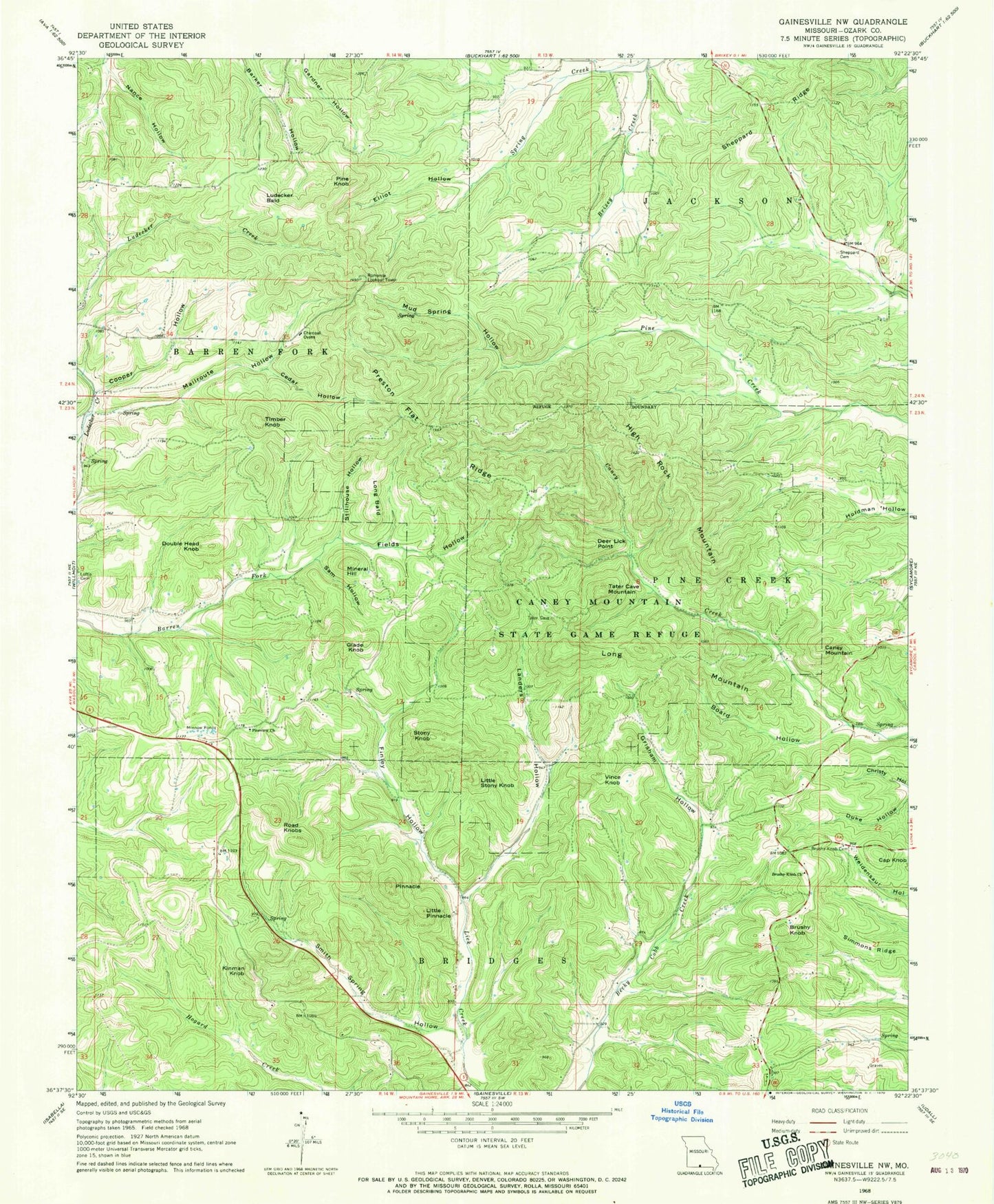
Historical USGS topographic quad map of Gainesville NW in the state of Missouri. Map scale may vary for some years, but is generally around 1:24,000. Print size is approximately 24" x 27"
This quadrangle is in the following counties: Ozark.
The map contains contour lines, roads, rivers, towns, and lakes. Printed on high-quality waterproof paper with UV fade-resistant inks, and shipped rolled.
Contains the following named places: Bear Cave Mountain, Board Hollow, Brushy Knob, Brushy Knob Cemetery, Brushy Knob Church, Brushy Knob School, Bryant Volunteer Fire Department, Caney Mountain, Caney Mountain State Game Refuge, Caney Mountain Volunteer Fire Department, Cap Knob, Cedar Hollow, Cooper Hollow, Deer Lick Point, Double Head Knob, Duke Hollow, Elliot Hollow, Evening Shade School, Fields Hollow, Finley Hollow, Gardner Dam, Gardner Lake, Glade Knob, Grisham Hollow, Herd Dam, Herd Lake, High Rock Mountain, Kinman Knob, Landers Hollow, Little Pinnacle, Little Stony Knob, Long Bald, Long Mountain, Ludecker Bald, Mailroute Hollow, Mallow Lake, Mallow Lake Dam, Mineral Hill, Mud Spring Hollow, Nebraska School, Ozark County, Pine Knob, Pineview Church, Pineview School, Pinnacle, Preston Flat Ridge, Road Knobs, Rocky Top Airfield, Romance Lookout Tower, Sam Hollow, Sheppard Cemetery, Sheppard Ridge, Simmons Ridge, Smith Spring Hollow, Stillhouse Hollow, Stony Knob, Tater Cave Mountain, Timber Knob, Township of Barren Fork, Upper Brixey School, Vince Knob


