MyTopo
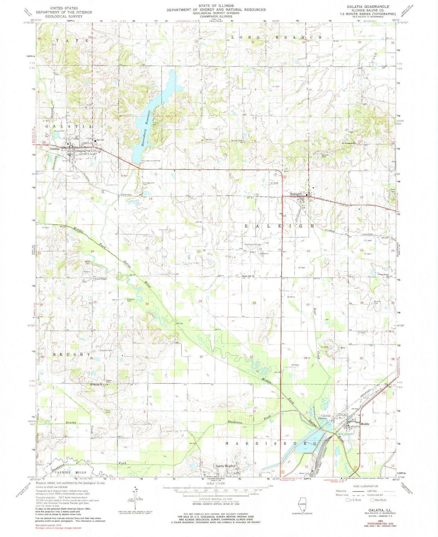
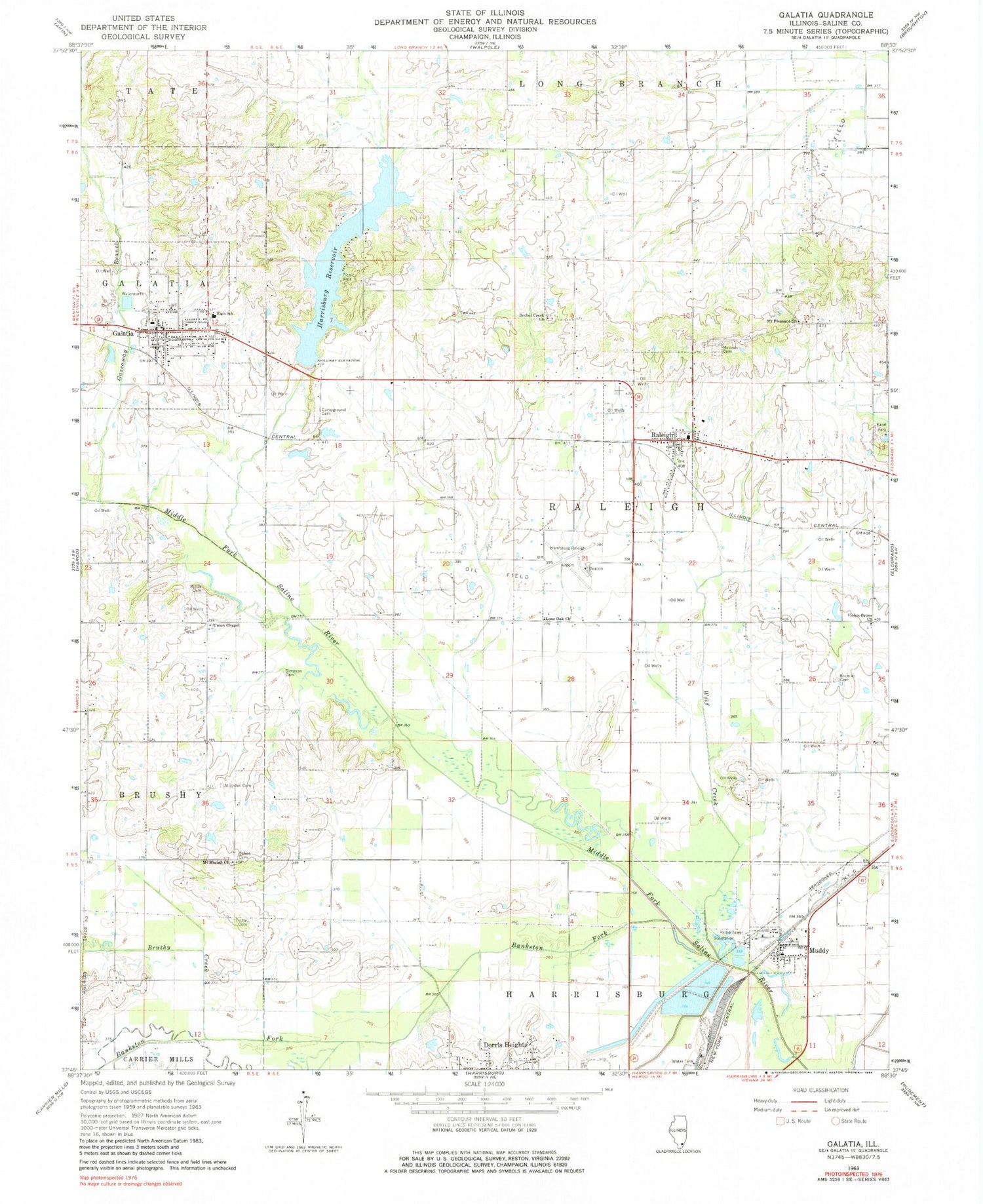
Classic USGS Galatia Illinois 7.5'x7.5' Topo Map
Couldn't load pickup availability
Historical USGS topographic quad map of Galatia in the state of Illinois. Map scale may vary for some years, but is generally around 1:24,000. Print size is approximately 24" x 27"
This quadrangle is in the following counties: Saline.
The map contains contour lines, roads, rivers, towns, and lakes. Printed on high-quality waterproof paper with UV fade-resistant inks, and shipped rolled.
Contains the following named places: Arkansas School, Baker Cemetery, Bankston Fork, Bethel Creek Church, Bramlet Cemetery, Bramlet School, Brushy Creek, Cedar Point School, Chenault School, Galatia, Galatia Elementary Schools, Galatia High School, Galatia Post Office, Galatia Volunteer Fire and Rescue, Gassaway Branch, Harrisburg Reservoir, Harrisburg Reservoir Dam, Harrisburg-Raleigh Airport, Illinois No Name Number 2026 Dam, Karel Park, Kerr-McGee Coal Corporation Heliport, Kious Cemetery, Lone Oak Church, Mount Moriah Church, Mount Pleasant Church, Muddy, Muddy Post Office, Raleigh, Raleigh Post Office, Saline County, Simpson Family Cemetery, Smith School, Stricklin Family Cemetery, Township of Raleigh, Tuttle Cemetery, Union Chapel, Union Grove Church, Union School, Village of Galatia, Village of Muddy, Village of Raleigh, Webber Campground Cemetery, Wiggins School, Wolf Creek, ZIP Codes: 62965, 62977


