MyTopo
Classic USGS Gales Creek Oregon 7.5'x7.5' Topo Map
Couldn't load pickup availability
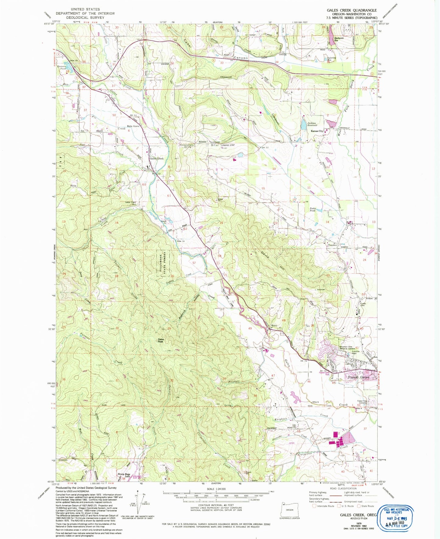
Historical USGS topographic quad map of Gales Creek in the state of Oregon. Map scale may vary for some years, but is generally around 1:24,000. Print size is approximately 24" x 27"
This quadrangle is in the following counties: Washington.
The map contains contour lines, roads, rivers, towns, and lakes. Printed on high-quality waterproof paper with UV fade-resistant inks, and shipped rolled.
Contains the following named places: Alexander Creek, Bakersfield Post Office, Balm Grove, Bamford Spring, Cedar Canyon, Cedar Canyon Creek, Clear Creek, Culver Creek, David Hill, Deep Creek, Dorman Pond, Dorn Spur, Feathered Friend Pond, Fir Creek, Forest Glen Park, Forest Grove Fire and Rescue Gales Creek, Forest Grove Water Treatment Plant, Forest View Cemetery, Gales Creek, Gales Creek Cemetery, Gales Creek Elementary School, Gales Creek Post Office, Gales Peak, Godfrey Creek, Hartwick Reservoir, Heesacker Reservoir, Hillside, Hillside Cemetery, Hollis Hartwick Dam, Howell Reservoirs, Iler Creek, Jackson Reservoir, Joppa Post Office, Kansas City, Kelly Creek, Killin Wetlands, Killin Wetlands Nature Park, Knighten Creek, Knox Ridge City Park, Lewis Farm, Little Beaver Creek, Lousignont Canal, Lousignont Creek, Maple Headquarters Dam, Maple Headquarters Reservoir, Menke Spur, Montague, Mountain View Memorial Gardens, Noble Hill Farm, Normandin Spring, Orchard Dale, Park Farms Creek, Peak Post Office, Pecks Pond, Prickett Creek, Purdin Cemetery, Raymond Dierickx Dam, Raymond Dierickx Reservoir, Reuter City Park, Roderick Creek, Sadd Creek, Seavy Hop Spur, Shipley Pool, Soda Springs, Spiering Reservoir, Talisman City Park, Tanner Creek, Thatcher, Thatcher Post Office, Thatcher/Loomis City Park, Thomas Creek, Wall Creek, Washburn, Watts, White Creek, ZIP Code: 97116


