MyTopo
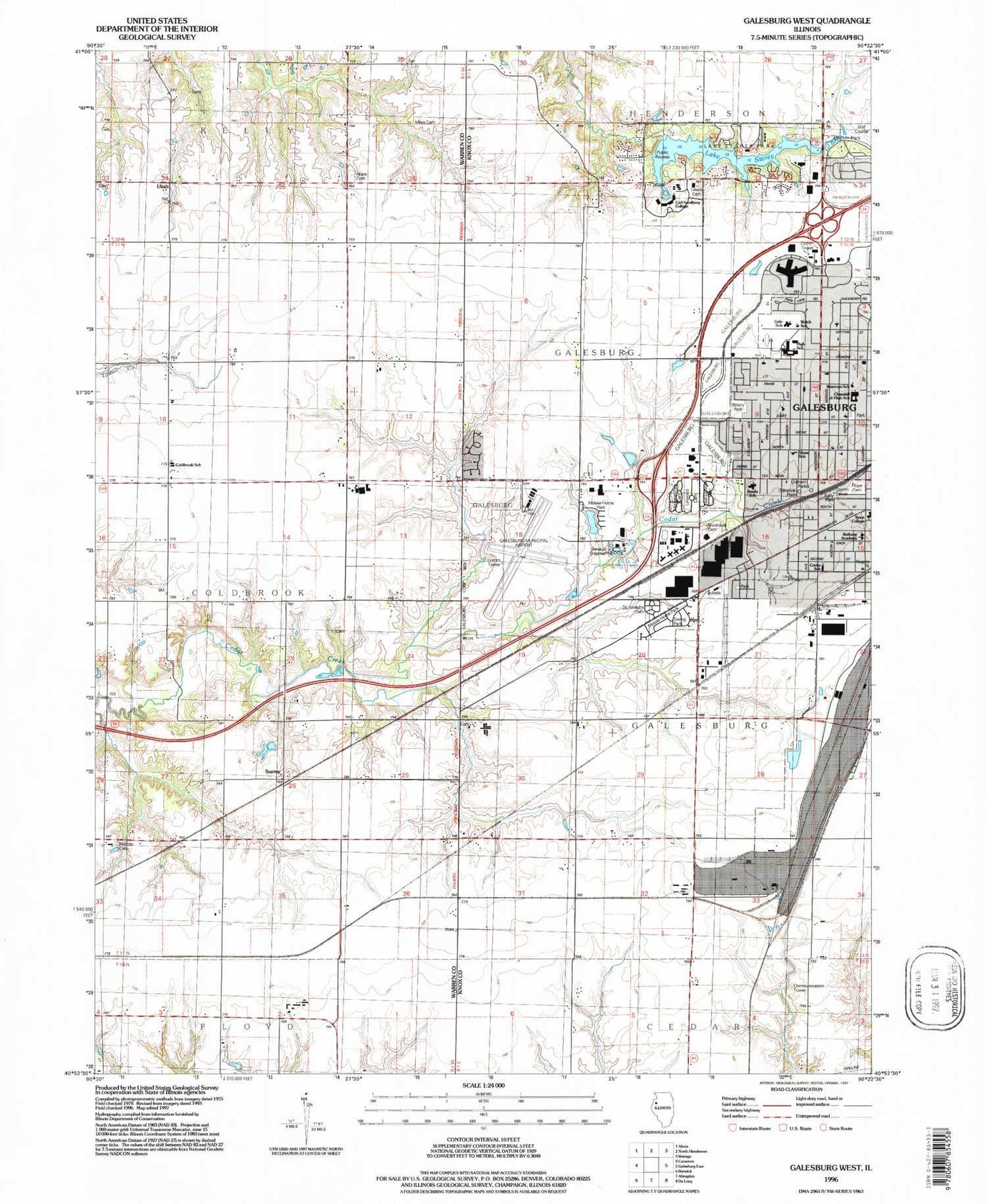
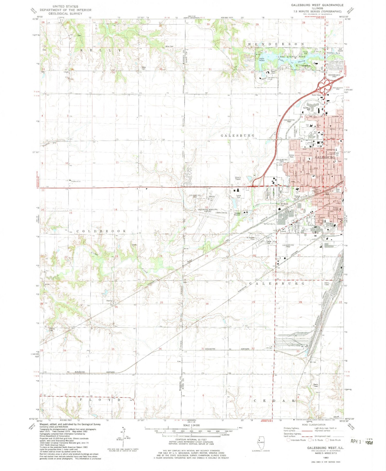
Classic USGS Galesburg West Illinois 7.5'x7.5' Topo Map
Couldn't load pickup availability
Historical USGS topographic quad map of Galesburg West in the state of Illinois. Map scale may vary for some years, but is generally around 1:24,000. Print size is approximately 24" x 27"
This quadrangle is in the following counties: Knox, Warren.
The map contains contour lines, roads, rivers, towns, and lakes. Printed on high-quality waterproof paper with UV fade-resistant inks, and shipped rolled.
Contains the following named places: Atchison School, Barnett School, Bateman School, Bethany Academy, Bethany Baptist Church, Bethel Baptist Church, Blue Moonlight Drive-In, Brookside Cemetery, Carl Sandburg College, Church of Christ, Churchill Junior High School, City of Galesburg, Clay Cemetery, Clay School, Coldbrook School, Conard School, Cooke School, Covenant Church, East Linwood and Linwood Cemetery, Emmanuel United Methodist Church, Gale School, Galesburg Fire Department - Freemont Station, Galesburg High School, Galesburg Memorial Park Cemetery, Galesburg Municipal Airport, Graham Park, Hill Correctional Center, Hope Cemetery, Horney Cemetery, Hurley School, Kelly Park, Knox College, L T Stone School, Lake Storey, Lake Storey Dam, Lake Storey Park, Lewis Cemetery, Linwood Cemetery, Locust School, Miles Cemetery, Reorganized Church of Jesus Christ of Latter Day Saints, Rogers Park, Rose Hoben Welch School, Rotary Park, Saint Josephs Cemetery, Saint Patricks Roman Catholic Church, Saluda Station, Sandburg Mall, Springtown School, Steele School, Surrey, Swing Park, Temple Sholom, Thirlwell School, Township of Coldbrook, Township of Galesburg City, Tylerville School, Utah, Utah Post Office, West Point School, West School, ZIP Code: 61401


