MyTopo
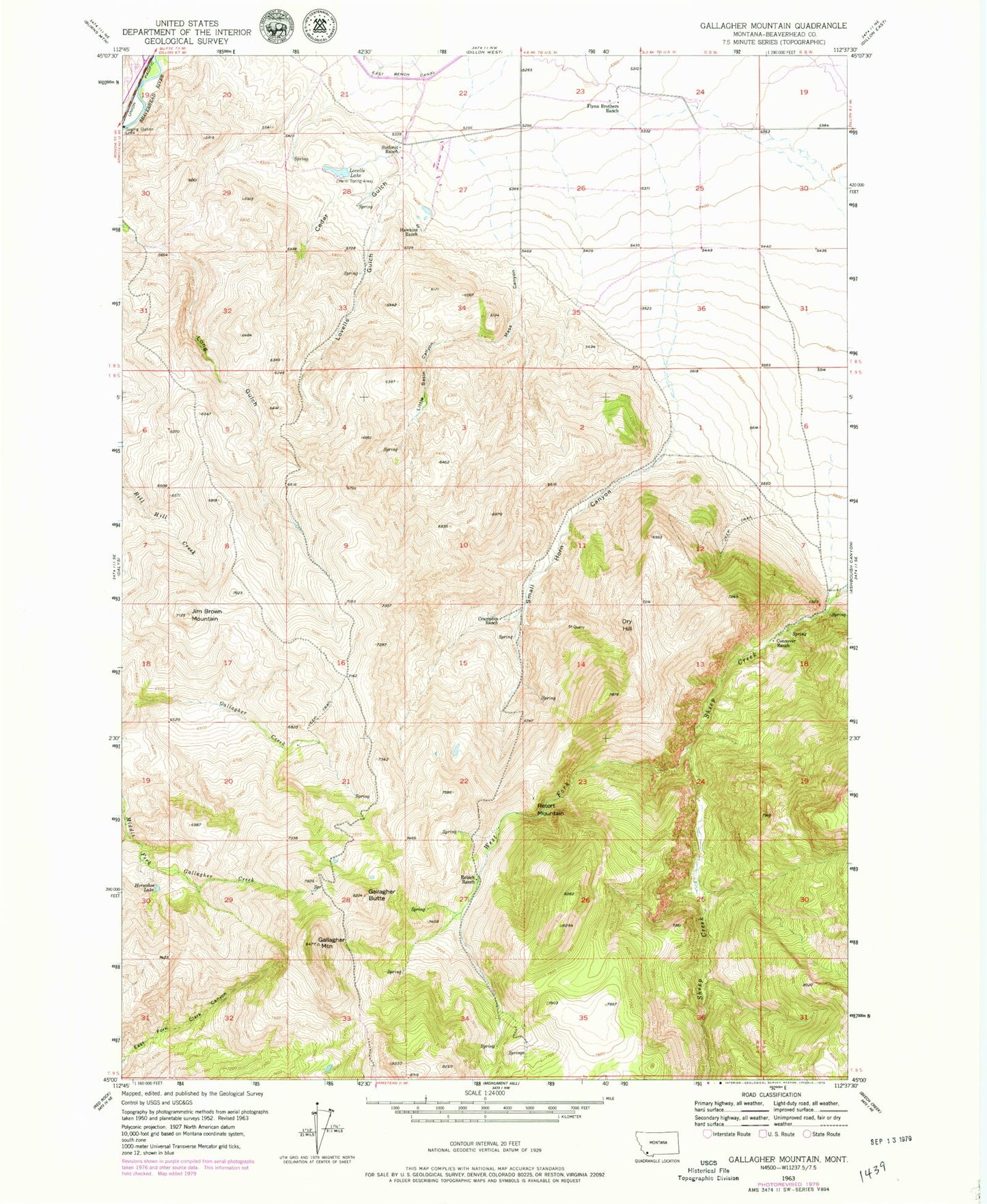
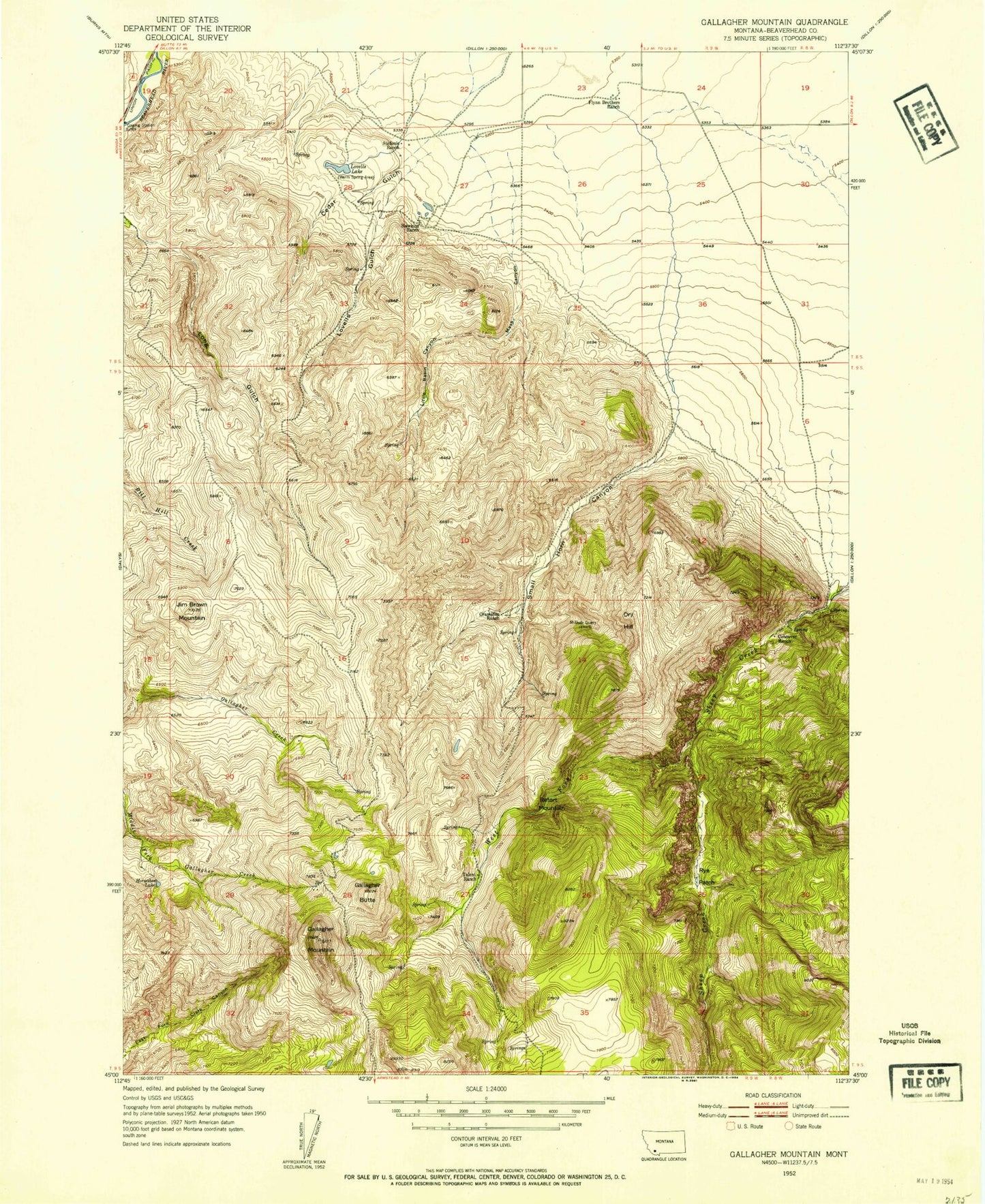
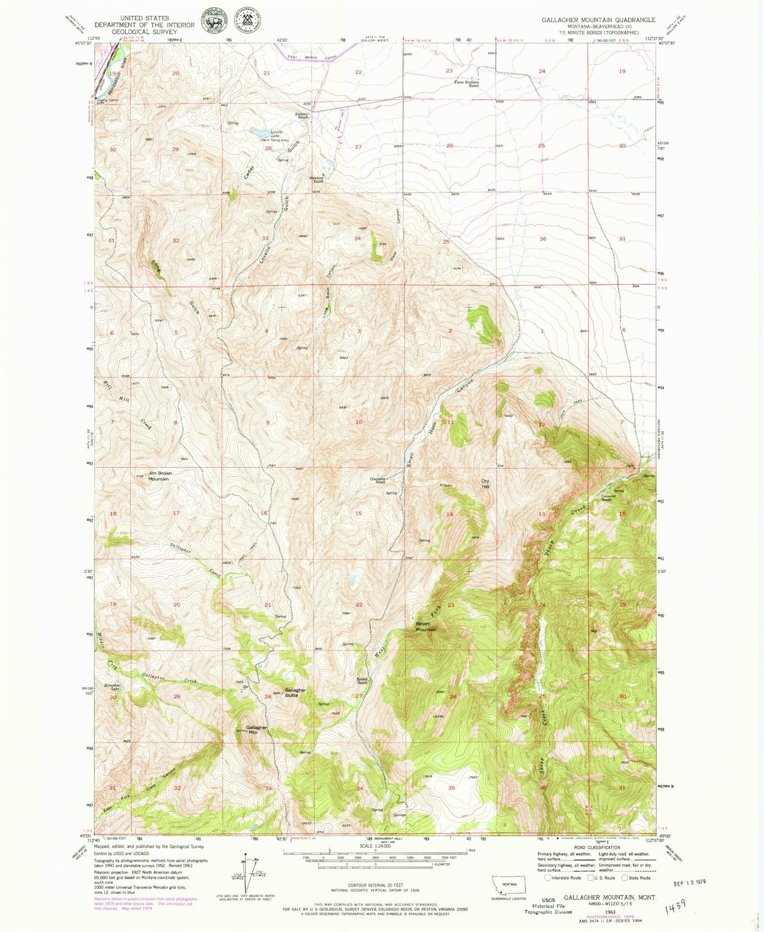
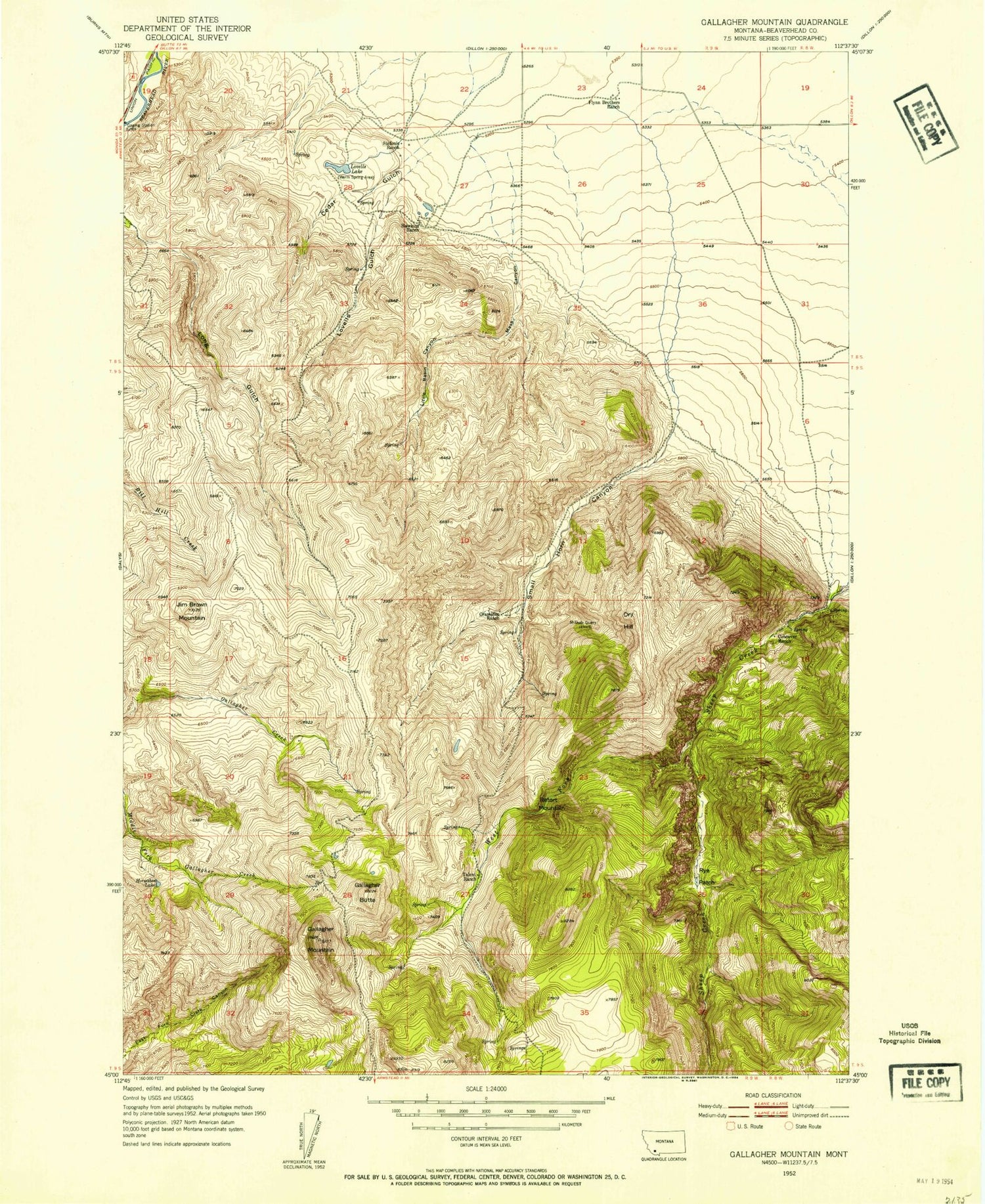
Classic USGS Gallagher Mountain Montana 7.5'x7.5' Topo Map
Couldn't load pickup availability
Historical USGS topographic quad map of Gallagher Mountain in the state of Montana. Map scale may vary for some years, but is generally around 1:24,000. Print size is approximately 24" x 27"
This quadrangle is in the following counties: Beaverhead.
The map contains contour lines, roads, rivers, towns, and lakes. Printed on high-quality waterproof paper with UV fade-resistant inks, and shipped rolled.
Contains the following named places: 08S08W30CCCC01 Well, 08S08W31CCAA01 Well, 08S08WCCCC02__ Well, 08S09W17DCBA01 Well, 08S09W23DADA_1 Well, 08S09W23DADA02 Well, 08S09W24CCCC01 Well, 08S09W24DCDC01 Well, 08S09W24DDDD01 Well, 08S09W25ADBA01 Well, 08S09W25BAAA01 Well, 08S09W26ABAB01 Well, 08S09W26BBD_01 Well, 09S08W07DBCC01 Well, 09S08W07DBDC01 Well, 09S08W07DCBB01 Well, 09S08W18ABBD01 Spring, Ashbaughs Saloon, Cedar Gulch, Conover Ranch, Crampton Ranch, Dry Hill, Flynn Brothers Ranch, Gallagher Butte, Gallagher Mountain, Hawkins Ranch, Horseshoe Lake, Jim Brown Mountain, Little Basin Canyon, Lovells Gulch, Lovells Lake, Mass Canyon, Rebich Ranch, Retort Mountain, Small Horn Canyon, Stefonic Ranch, West Fork Sheep Creek


