MyTopo
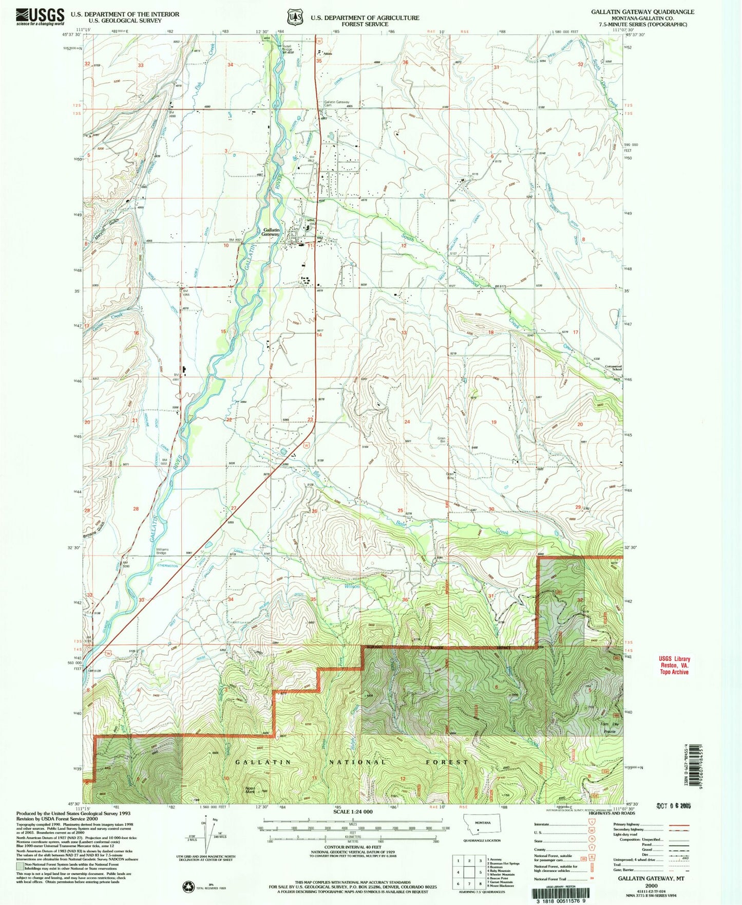
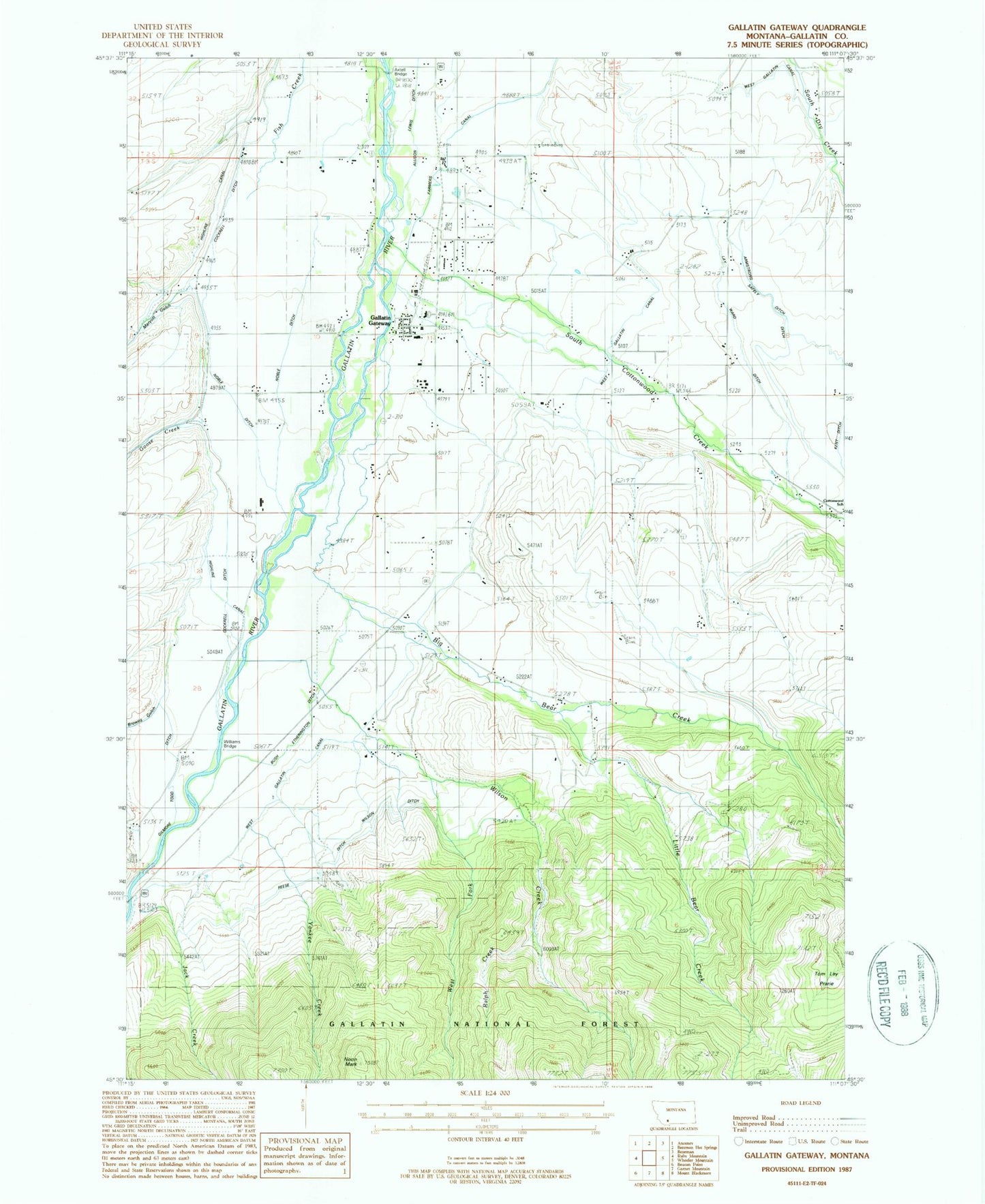
Classic USGS Gallatin Gateway Montana 7.5'x7.5' Topo Map
Couldn't load pickup availability
Historical USGS topographic quad map of Gallatin Gateway in the state of Montana. Map scale may vary for some years, but is generally around 1:24,000. Print size is approximately 24" x 27"
This quadrangle is in the following counties: Gallatin.
The map contains contour lines, roads, rivers, towns, and lakes. Printed on high-quality waterproof paper with UV fade-resistant inks, and shipped rolled.
Contains the following named places: 01S04E26CDDD01 Well, 01S04E26CDDD02 Well, 02S04E33DA__01 Well, 02S04E33DD__01 Well, 02S04E34DD__01 Well, 02S04E34DD__02 Well, 02S05E31ADDA01 Well, 02S05E32AC__01 Well, 02S05E32DB__01 Well, 03S04E01BA__01 Well, 03S04E01DB__01 Spring, 03S04E02AB__01 Well, 03S04E02BB__01 Well, 03S04E02DCAD01 Well, 03S04E03AA__01 Well, 03S04E03AB__01 Well, 03S04E03AB__02 Well, 03S04E03AB__03 Spring, 03S04E03ABAA01 Well, 03S04E03AC__03 Well, 03S04E03DAA_01 Well, 03S04E03DAD_01 Well, 03S04E03DAD_02 Well, 03S04E03DD__01 Well, 03S04E03DD__02 Well, 03S04E04DA__01 Well, 03S04E09ABBC01 Well, 03S04E09BA__01 Well, 03S04E10AC__01 Well, 03S04E10AC__02 Well, 03S04E10AC__03 Well, 03S04E10AD__01 Well, 03S04E11BCA_01 Well, 03S04E11BCC_01 Well, 03S04E11BCC_02 Spring, 03S04E11BDBB01 Well, 03S04E11BDC_01 Well, 03S04E11CBBA01 Well, 03S04E12AC__01 Well, 03S04E12CD__01 Well, 03S04E13AB__01 Well, 03S04E14BA__01 Well, 03S04E21DA__01 Well, 03S04E21DDBD01 Well, 03S04E22CBDC01 Well, 03S04E23AADC01 Well, 03S04E25DBBD01 Well, 03S04E26BA__01 Well, 03S04E26BA__02 Well, 03S04E27BA__01 Well, 03S04E32DADA01 Well, 03S04E34AA__01 Well, 03S04E34ABBB01 Well, 03S04E34BC__01 Well, 03S04E36BABB01 Well, 03S05E05AA__01 Well, 03S05E05AA__02 Well, 03S05E05CC__01 Well, 03S05E06AD__01 Well, 03S05E06CD__01 Well, 03S05E07BCCC01 Well, 03S05E08CB__01 Well, 03S05E08DD__01 Well, 03S05E17CA__01 Spring, 03S05E17DC__01 Well, 03S05E17DDC_01 Well, 03S05E17DDD_01 Well, 03S05E18AB__01 Well, 03S05E18BA__01 Well, 03S05E18BA__02 Well, 03S05E19BB__01 Spring, 03S05E20CC__01 Well, Allison Lewis Ditch, Armstrong Ditch, Atkins, Axtell Bridge, Axtell Bridge Sportsman Access, Big Bear Creek, Briar Creek Airport, Browns Gulch, Bush Etherington Ditch, Castle Rock Inn Campground, Cockrell Ditch, Cottonwood School, Country Court, Gallatin County, Gallatin Gateway, Gallatin Gateway Census Designated Place, Gallatin Gateway Division, Gallatin Gateway Inn Park, Gallatin Gateway Post Office, Gallatin Gateway Rural Fire District, Gallatin Gateway School, Gateway Bible Church, Gateway Bridges, Gateway Community Church, Gilmore Todd Ditch, Goose Creek, Hart Ditch, Jack Creek, La Beau Bridge, Lay Settlement, Lay Ward Ditch, Little Bear, Little Bear Creek, Little Bear School, Maryott Gulch, Noble Ditch, Noon Mark, Ralph Creek, Reese Ditch, Rochambeau School, Safely Ditch, Salesville Cemetery, South Cottonwood Creek, Sterling Ditch, Tom Lay Prairie, West Fork Wilson Creek, Williams Bridge, Williams Ditch, Wilson Creek, Wilson Creek School, Wilson Ditch, Yankee Creek


