MyTopo
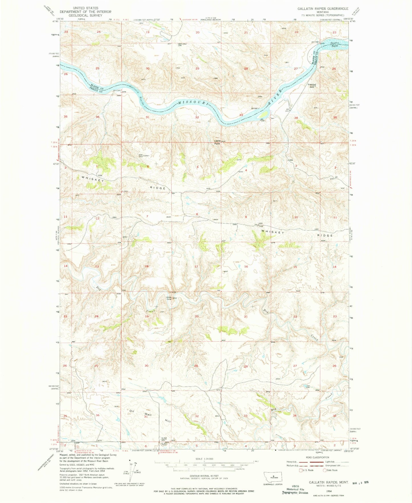
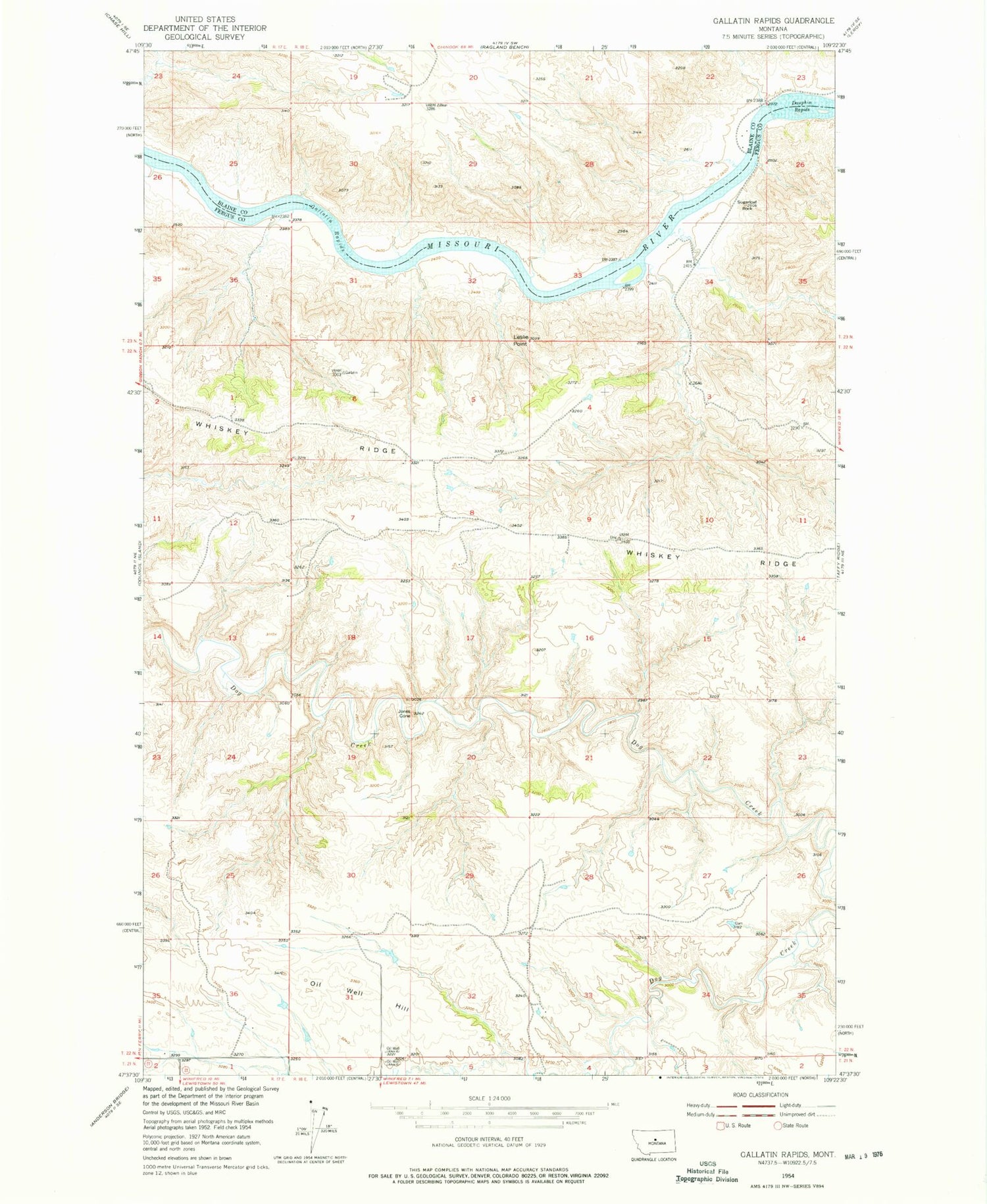
Classic USGS Gallatin Rapids Montana 7.5'x7.5' Topo Map
Regular price
$16.95
Regular price
Sale price
$16.95
Unit price
per
Couldn't load pickup availability
Historical USGS topographic quad map of Gallatin Rapids in the state of Montana. Map scale may vary for some years, but is generally around 1:24,000. Print size is approximately 24" x 27"
This quadrangle is in the following counties: Blaine, Fergus.
The map contains contour lines, roads, rivers, towns, and lakes. Printed on high-quality waterproof paper with UV fade-resistant inks, and shipped rolled.
Contains the following named places: 22N17E35DDDD01 Well, Bear Rapids, Dauphin Rapids, Flax Coulee, Gallatin Rapids, Jones Cone, Leslie Point, Little Dog Rapids, Oil Well Hill, Robinson School, Sugarloaf Rock, Whiskey Ridge