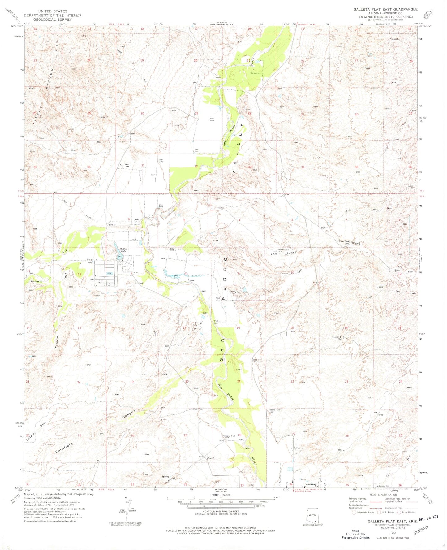
MyTopo
Classic USGS Galleta Flat East Arizona 7.5'x7.5' Topo Map
Regular price
$16.95
Regular price
Sale price
$16.95
Unit price
per
Couldn't load pickup availability
Historical USGS topographic quad map of Galleta Flat East in the state of Arizona. Map scale may vary for some years, but is generally around 1:24,000. Print size is approximately 24" x 27"
This quadrangle is in the following counties: Cochise.
The map contains contour lines, roads, rivers, towns, and lakes. Printed on high-quality waterproof paper with UV fade-resistant inks, and shipped rolled.
Contains the following named places: Ash Creek, Benson Division, Cadillac Wash, Cornfield Canyon, Pacheco Wash, Pachelo Ranch, Section Fourteen Well, Singing Wind Ranch, Stone Tank, Tres Alamos Ranch, Tres Alamos Wash, Willow Lake